MyTopo
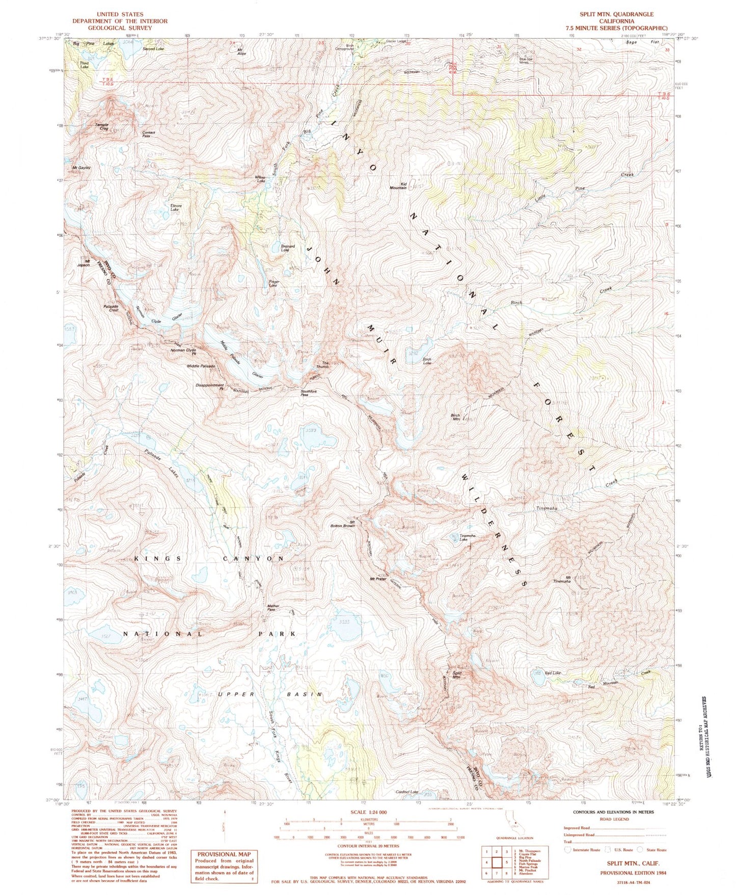
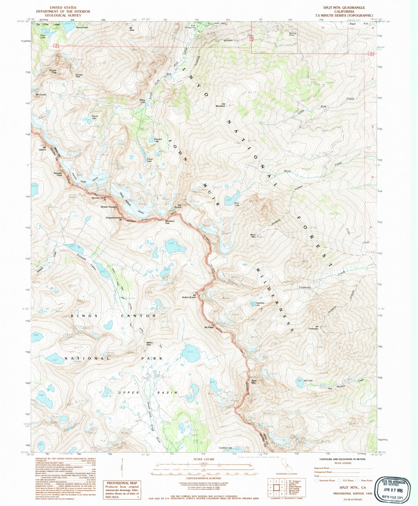
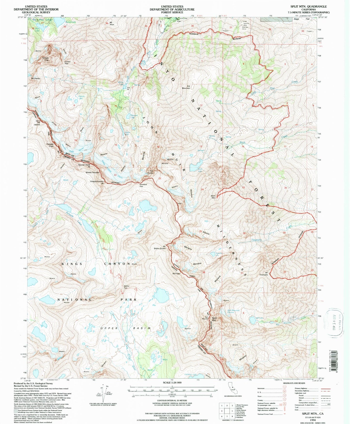
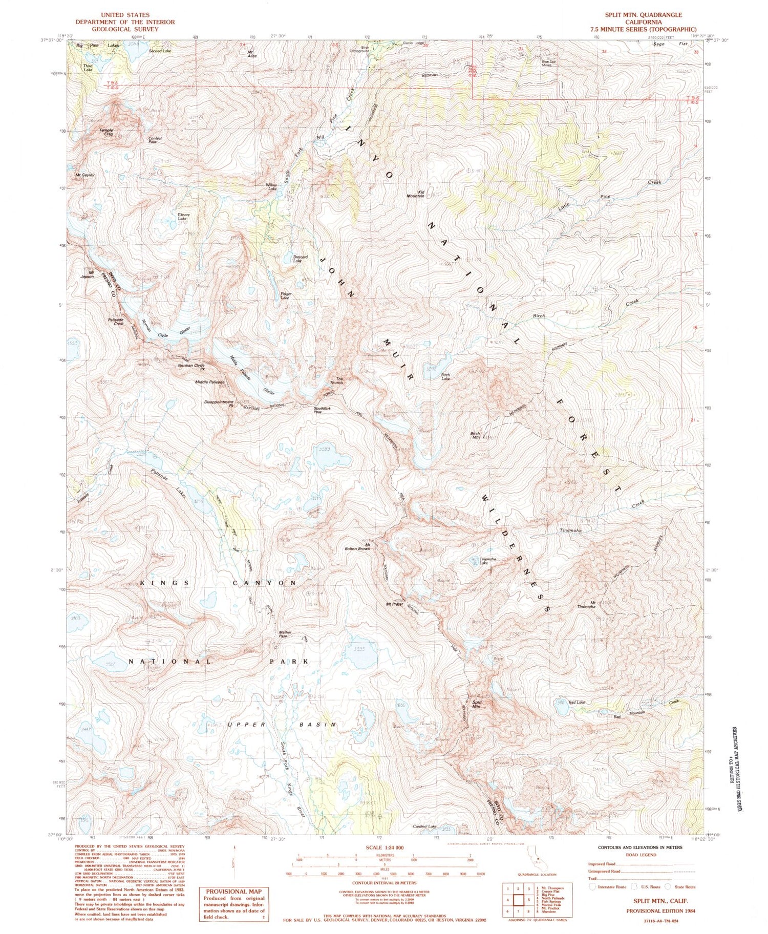
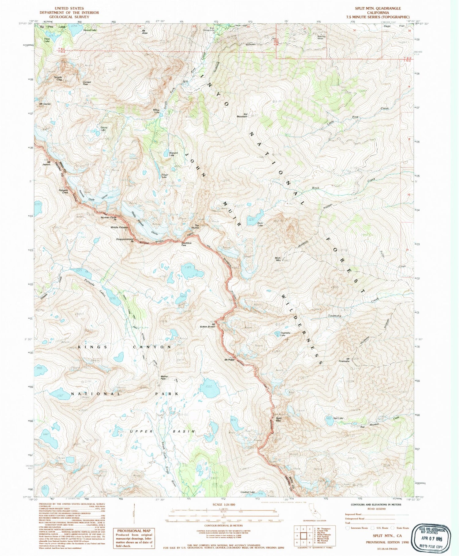
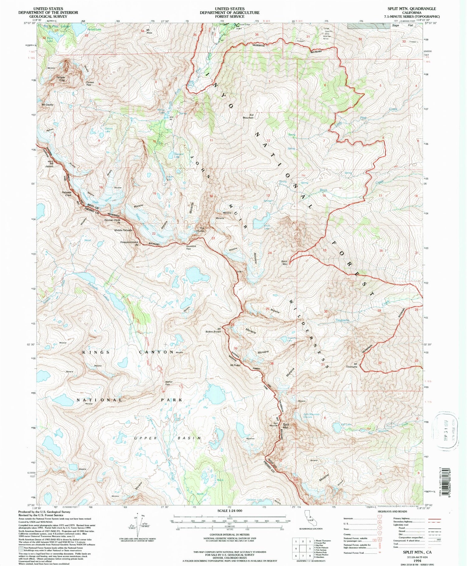
USGS Classic Split Mountain California 7.5'x7.5' Topo Map
Couldn't load pickup availability
Historical USGS topographic quad map of Split Mountain in the state of California. Scale: 1:24000. Print size: 24" x 27"
This quadrangle is in the following counties: Fresno, Inyo.
The map contains contour lines, roads, rivers, towns, lakes, and grids including latitude / longitude and UTM / MGRS. Printed on high-quality waterproof paper with UV fade-resistant inks.
Contains the following named places: Mount Alice, Birch Lake, Blue Star Mines, Brainerd Lake, Contact Pass, Disappointment Peak, Elinor Lake, Finger Lake, Mount Jepson, Kid Mountain, Mather Pass, Middle Palisade Glacier, Palisade Lakes, Red Lake, Second Lake, Mount Gayley, South Fork Big Pine Creek, Southfork Pass, Split Mountain, Third Lake, Tinemaha Lake, Upper Basin, Willow Lake, Birch Mountain, Mount Prater, Mount Bolton Brown, Temple Crag, The Thumb, Mount Tinemaha, North Fork Big Pine Creek, Big Pine Creek Campground, Middle Palisade, Norman Clyde Peak, Palisade Crest, Big Pine Creek Number 2 6-011 Dam, Norman Clyde Glacier, Birch Campground, Big Pine Creek South Fork Trailhead
