MyTopo
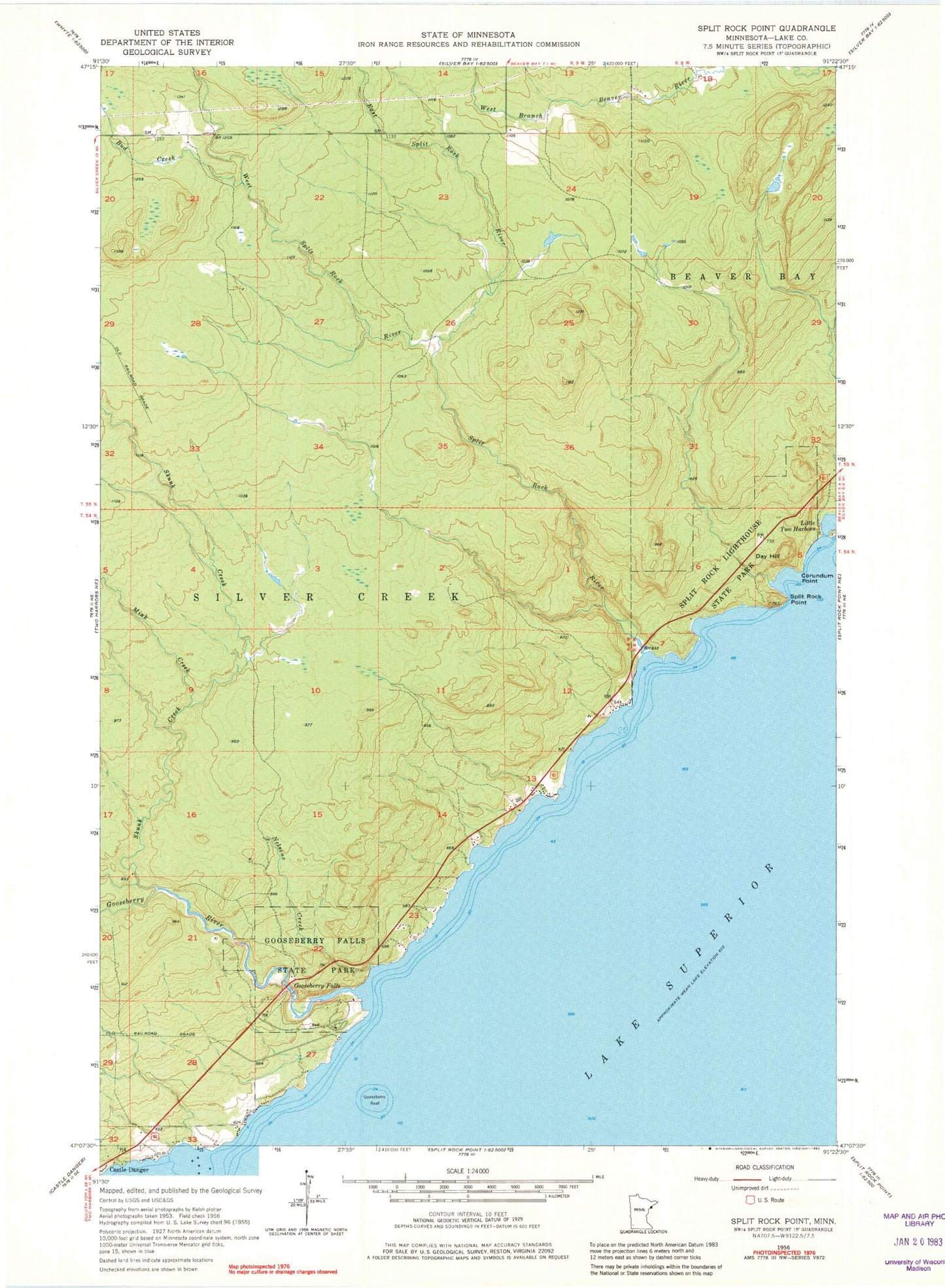
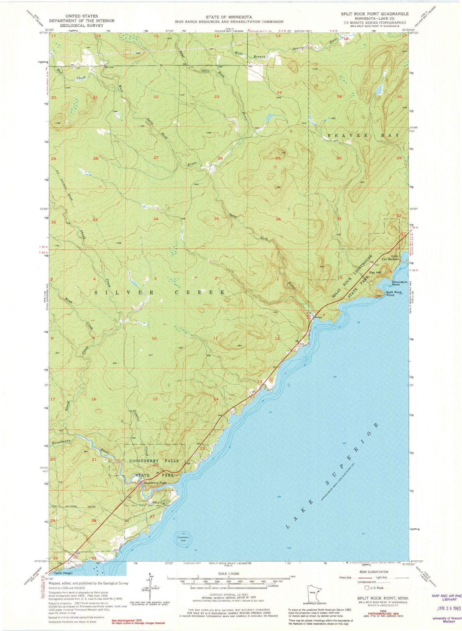
Classic USGS Split Rock Point Minnesota 7.5'x7.5' Topo Map
Couldn't load pickup availability
Historical USGS topographic quad map of Split Rock Point in the state of Minnesota. Typical map scale is 1:24,000, but may vary for certain years, if available. Print size: 24" x 27"
This quadrangle is in the following counties: Lake.
The map contains contour lines, roads, rivers, towns, and lakes. Printed on high-quality waterproof paper with UV fade-resistant inks, and shipped rolled.
Contains the following named places: Corundum Point, Day Hill, Gooseberry Falls, Gooseberry Falls State Park, Gooseberry Reef, Little Two Harbors, Mink Creek, Nelsens Creek, Skunk Creek, Split Rock Point, Split Rock Lighthouse State Park, Split Rock Cabins, Bud Creek, East Split Rock River, Gooseberry River, West Split Rock River, Silver Bay Municipal Airport, Strand Creek, Splitrock Post Office (historical), Gooseberry Falls Rest Area, Gooseberry Falls Concourse, Split Rock Trail Head Wayside Park, Geology Complicates Bridge Foundation Historical Marker, Geology Behind the Waterfalls Geological Marker


