MyTopo
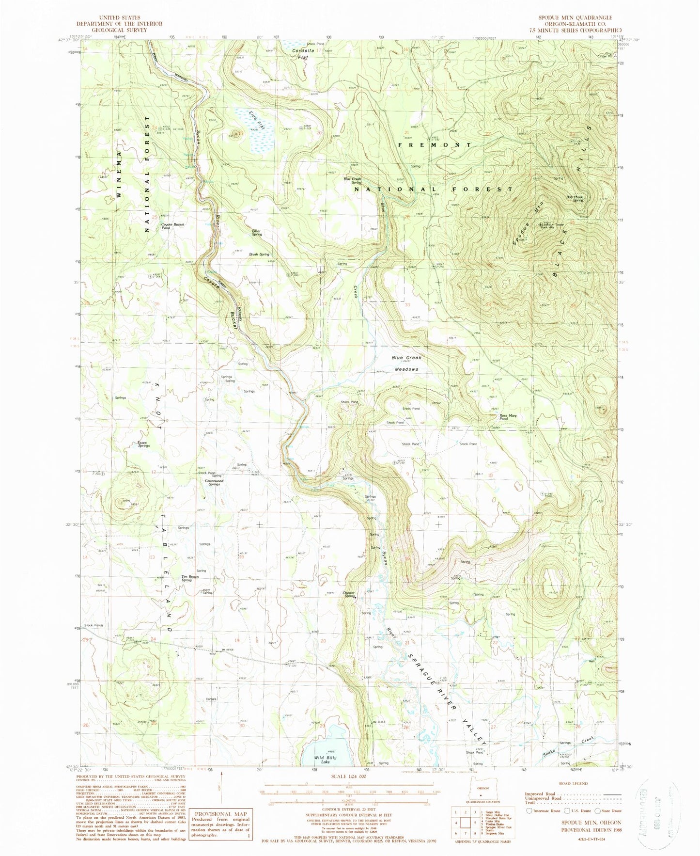
Classic USGS Spodue Mountain Oregon 7.5'x7.5' Topo Map
Couldn't load pickup availability
Historical USGS topographic quad map of Spodue Mountain in the state of Oregon. Map scale may vary for some years, but is generally around 1:24,000. Print size is approximately 24" x 27"
This quadrangle is in the following counties: Klamath.
The map contains contour lines, roads, rivers, towns, and lakes. Printed on high-quality waterproof paper with UV fade-resistant inks, and shipped rolled.
Contains the following named places: Bitter Spring, Black Hills, Black Hills Lookout, Blue Creek, Blue Creek Meadows, Blue Creek Spring, Bob Plank Spring, Brown Spring, Brush Spring, Chester Spring, Cottonwood Springs, Coyote Bucket, Coyote Bucket Pond, Elde Flat, Essex Springs, Milk Creek, Rose Mary Pond, Spodue Mountain, Tim Brown Spring, Wild Billy Lake