MyTopo
Classic USGS Spokane Louisiana 7.5'x7.5' Topo Map
Couldn't load pickup availability
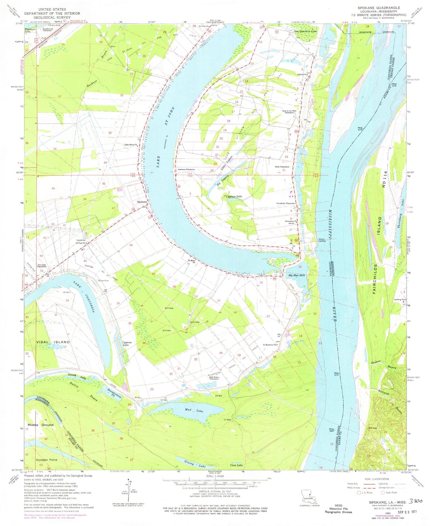
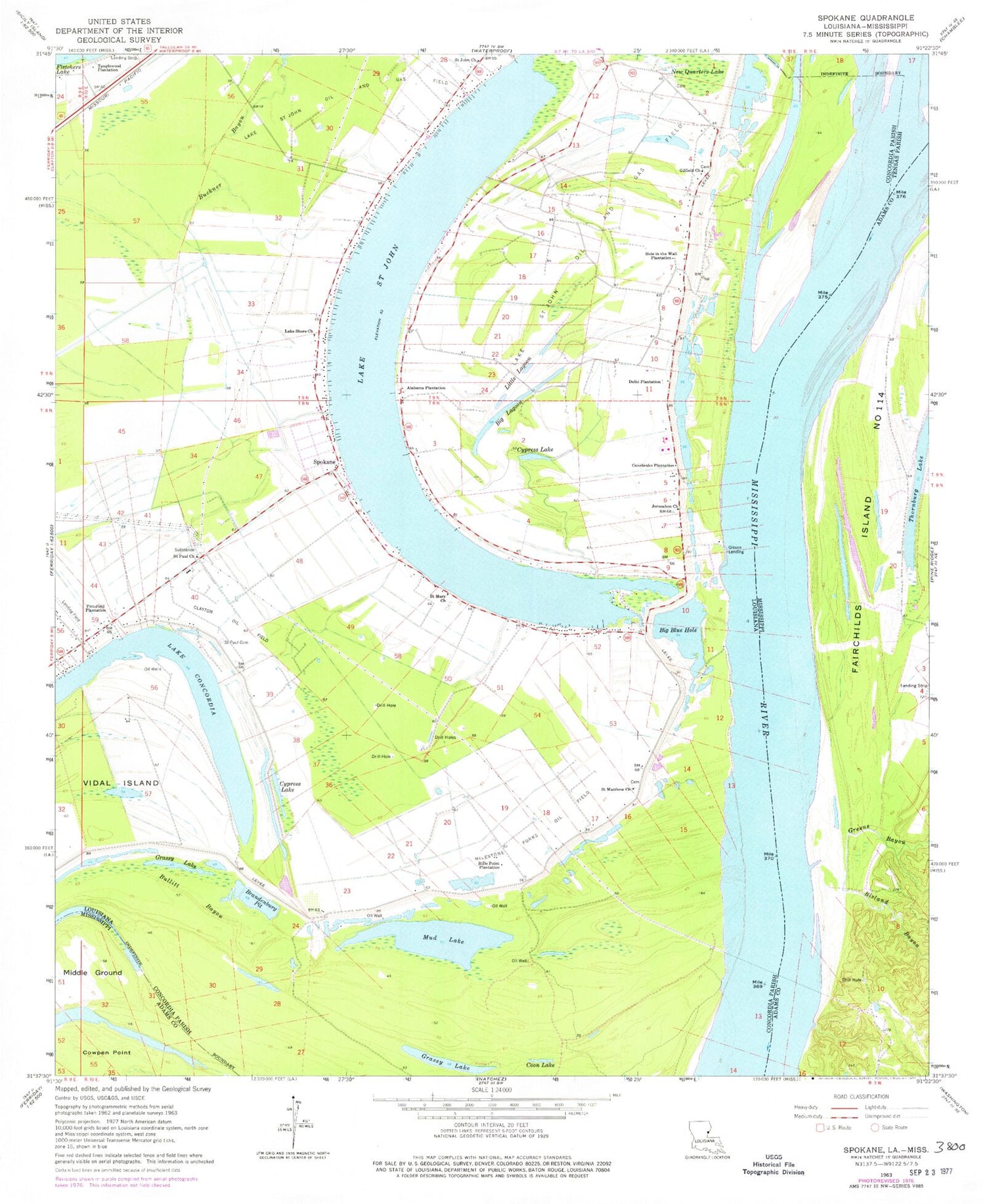
Historical USGS topographic quad map of Spokane in the states of Louisiana, Mississippi. Typical map scale is 1:24,000, but may vary for certain years, if available. Print size: 24" x 27"
This quadrangle is in the following counties: Adams, Concordia, Tensas.
The map contains contour lines, roads, rivers, towns, and lakes. Printed on high-quality waterproof paper with UV fade-resistant inks, and shipped rolled.
Contains the following named places: Alabama Plantation, Buckner Bayou, Bullitt Bayou, Canebrake Plantation, Clayton Oil Field, Delhi Plantation, Gilfield Church, Hole in the Wall Plantation, Jerusalem Church, Milestone Forks Oil Field, New Quarters Lake, Pittsfield Plantation, Rifle Point Plantation, Saint John Church, Saint Mary Church, Saint Paul Cemetery, Saint Paul Church, Spokane, Bowie Point Light, Bullitt Bayou, Gibson Landing, Argent, Bisland Bayou Oil Field, Canebrake, Clayton Gas Field, Fairchilds Bend Oil Field, Giles Bend Oil Field, Rifle Point Oil Field, West Rifle Point Oil Field, Cool Coosa, Cool Coosa Church, Fairchilds Bend, Gibson Revetment, Grassmere Plantation, Lake Saint John Fish Hatchery (historical), Lake Saint John Landing, Mileston Forks, Saint James Church (historical), Saint Luke Church (historical), Saint Marks Church (historical), Saint Mary Cemetery, Saint Pauls Church (historical), Shamrock Plantation, Spokane Plantation, Vancluse Plantation, Windemere Plantation, Big Blue Hole, Big Lagoon, Brandenburg Pit, Coon Lake, Cypress Lake, Grassy Lake, Lakeshore Baptist Church, Little Lagoon, Mud Lake, Lake Saint John, Saint Matthew Church, Tanglewood Plantation, Rivers Landing, Rosenwald School (historical), Summerell Airport, Parish Governing Authority District 1, Spokane Census Designated Place, Coles Creek, Fairchilds Island Number 114, Greens Bayou, Quitman Bayou, Thornburg Lake, Frank Junkin Lake Dam, Bisland Bayou Oil Field, Cotton Valley Oil Field, Fairchilds Bend, Marengo Bend, Quitmans Landing (historical), Spring Pond Oil Field, Water Proof Cutoff, Supervisor District 4


