MyTopo
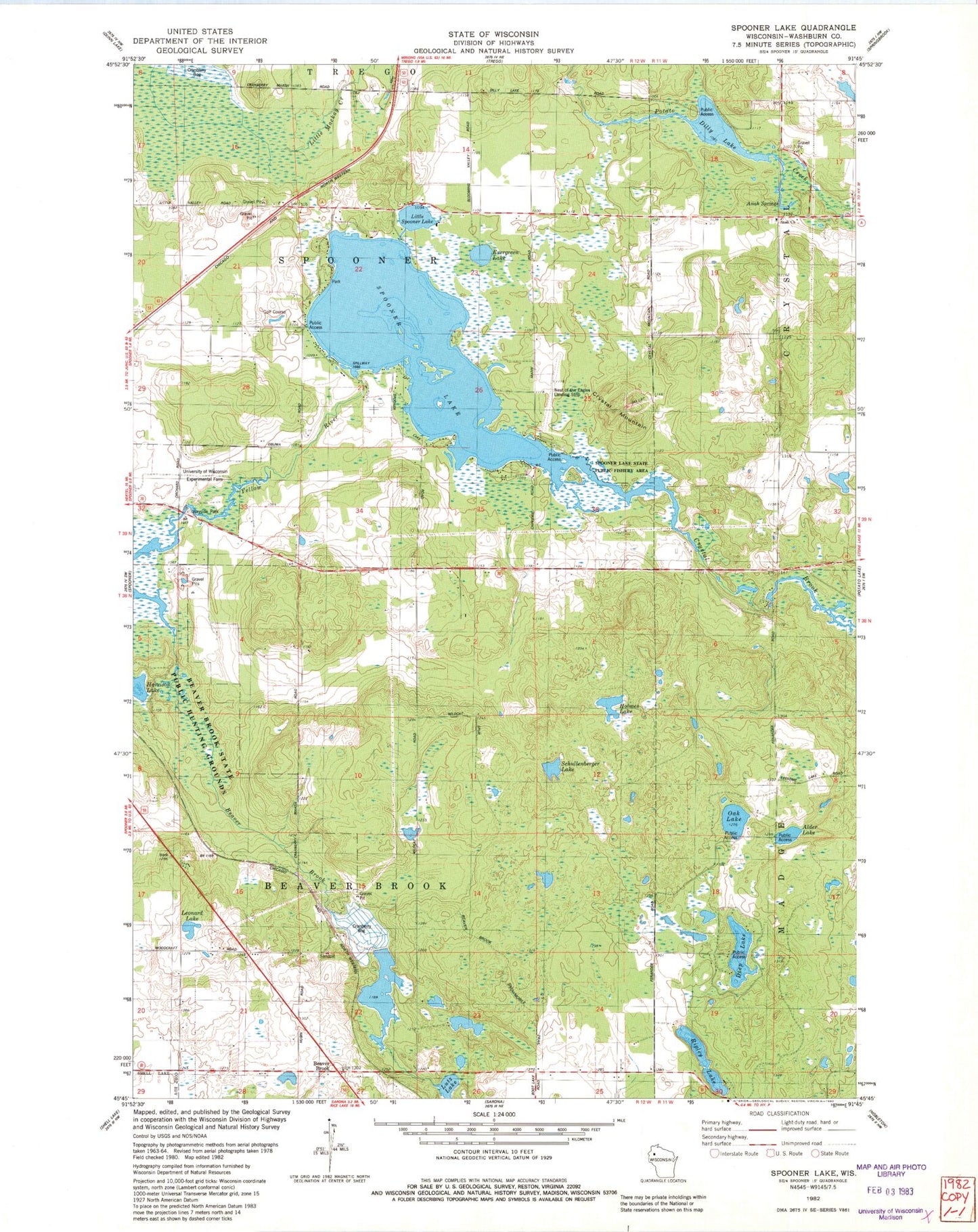
Classic USGS Spooner Lake Wisconsin 7.5'x7.5' Topo Map
Couldn't load pickup availability
Historical USGS topographic quad map of Spooner Lake in the state of Wisconsin. Map scale may vary for some years, but is generally around 1:24,000. Print size is approximately 24" x 27"
This quadrangle is in the following counties: Washburn.
The map contains contour lines, roads, rivers, towns, and lakes. Printed on high-quality waterproof paper with UV fade-resistant inks, and shipped rolled.
Contains the following named places: Alder Lake, Anah Church, Anah Springs, Badger Cranberry Company Dam, Beaver Brook, Beaver Brook State Public Hunting Grounds, Crystal Brook, Crystal Mountain, Deep Lake, Dilley Lake, Evergreen Lake, Harrison Lake, Holmes Lake, Leonard Lake, Little Spooner Lake, Lutz Lake, Nest of Eagles Airport, Northern Wisconsin Veterans Memorial Cemetery, Oak Lake, Ripley Lake, Schullenberger Lake, Spooner Health System Hospital, Spooner Lake, Spooner Lake 20, Spooner Lake State Public Fishery Area, Spooner Lake WP 349 Dam, Spooner Municipal Airport, Town of Beaver Brook, Town of Spooner, Upper Flowage 2WP988 Dam


