MyTopo
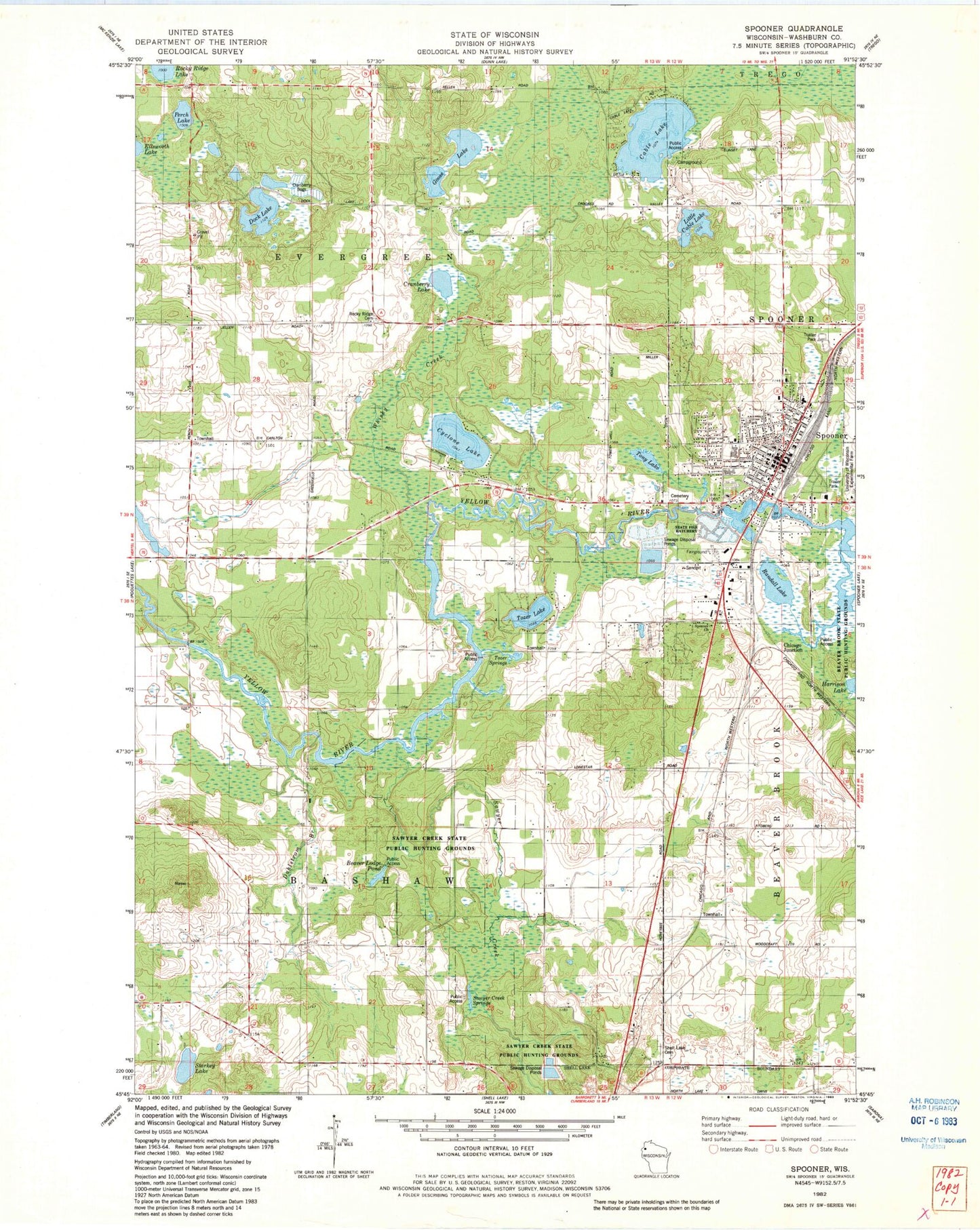
Classic USGS Spooner Wisconsin 7.5'x7.5' Topo Map
Couldn't load pickup availability
Historical USGS topographic quad map of Spooner in the state of Wisconsin. Map scale may vary for some years, but is generally around 1:24,000. Print size is approximately 24" x 27"
This quadrangle is in the following counties: Washburn.
The map contains contour lines, roads, rivers, towns, and lakes. Printed on high-quality waterproof paper with UV fade-resistant inks, and shipped rolled.
Contains the following named places: Bashaw Townhall, Beaver Brook Townhall, Beaver Lodge Pond, Cable Lake, Chicago Junction, City of Spooner, Cranberry Lake, Cyclone Lake, Dahlstrom Branch, Dock Lake, English Lutheran Church, Evergreen Townhall, First Methodist Church, Goose Lake, Hammill Grade School, Little Cable Lake, Perch Lake, Randall Lake, Rocky Ridge Cemetery, Saint Albans Episcopal Church, Saint Francis De Sales Roman Catholic Church, Saint Francis De Sales School, Sawyer Creek, Sawyer Creek Springs, Sawyer Creek State Public Hunting Grounds, Seventh Day Adventist Church, Shell Lake Cemetery, Spooner, Spooner 2 Post Office, Spooner Cemetery, Spooner Christian and Missionary Alliance Church, Spooner Church, Spooner City Hall, Spooner Electric Dam, Spooner Elementary School, Spooner Fire Department, Spooner High School, Spooner Hospital Heliport, Spooner Memorial Library, Spooner Middle School, Spooner Police Department, Spooner Post Office, Starkey Lake, Tony Lake, Town of Bashaw, Town of Evergreen, Tozer Lake, Tozer Springs, Trinity Lutheran Church, Wesleyan Methodist Church, Whisky Creek, Wisconsin State Patrol - Spooner Post, WXMG-FM (Spooner), Yellow River Flowage


