MyTopo
Classic USGS Sportsman Lake Montana 7.5'x7.5' Topo Map
Regular price
$16.95
Regular price
Sale price
$16.95
Unit price
per
Couldn't load pickup availability
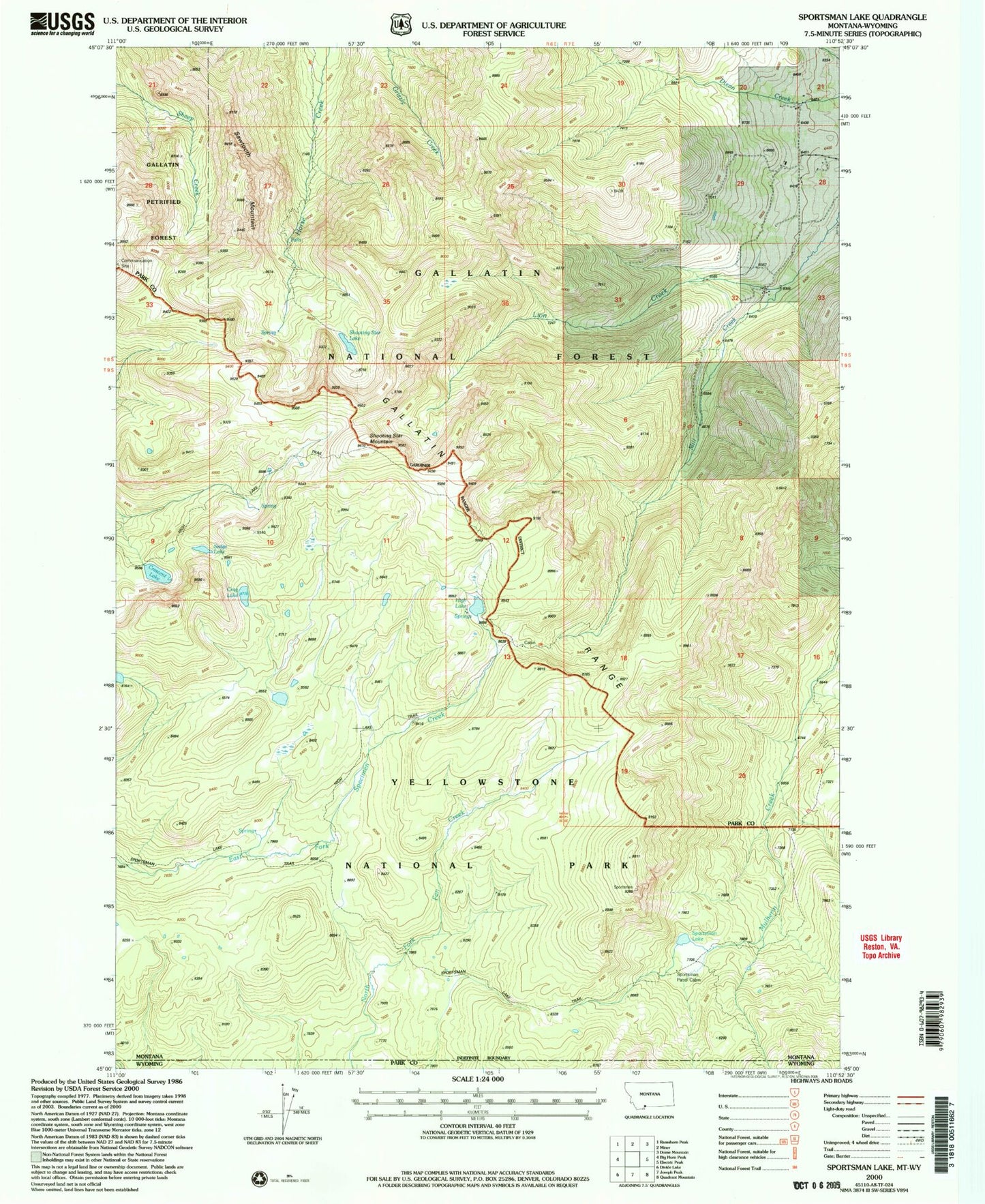
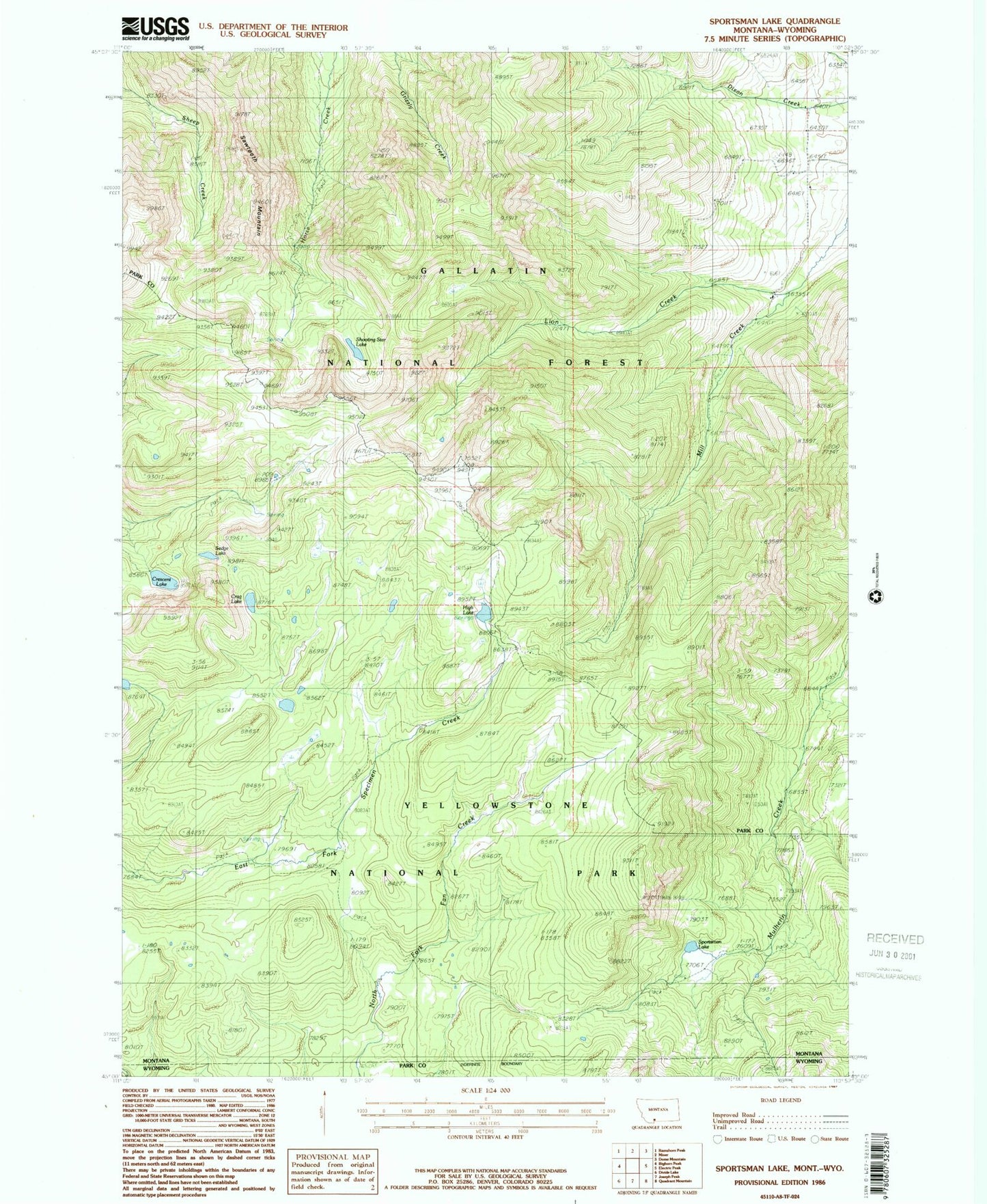
Historical USGS topographic quad map of Sportsman Lake in the state of Montana. Typical map scale is 1:24,000, but may vary for certain years, if available. Print size: 24" x 27"
This quadrangle is in the following counties: Park.
The map contains contour lines, roads, rivers, towns, and lakes. Printed on high-quality waterproof paper with UV fade-resistant inks, and shipped rolled.
Contains the following named places: Lion Creek, Sawtooth Mountain, Shooting Star Lake, Shooting Star Mountain, Crag Lake, Crescent Lake, High Lake, Sedge Lake, Sportsman Lake, Sportsman Lake Trail, Sportsman Patrol Cabin, Yellowstone National Park County (historical), Mill Creek