MyTopo
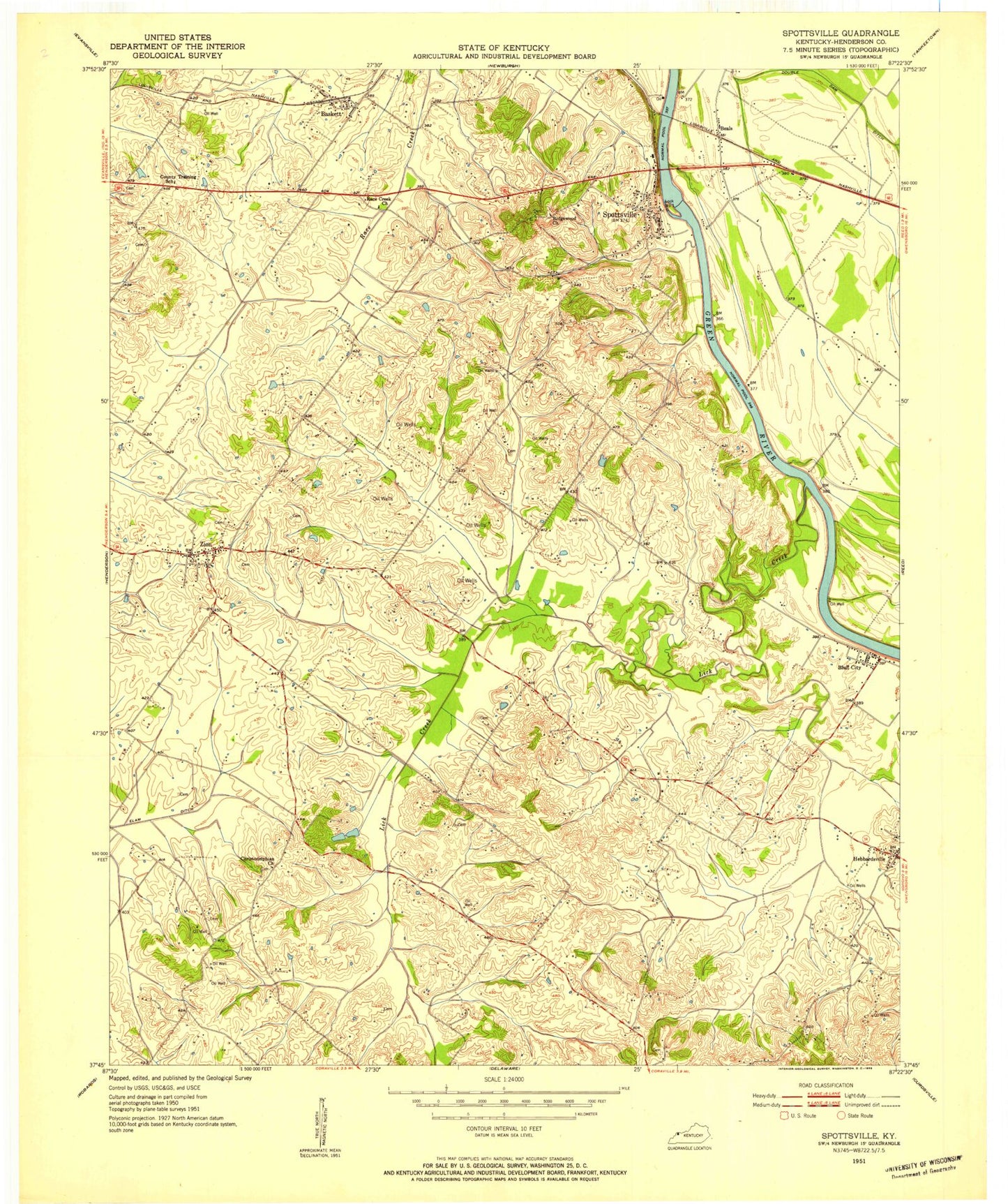
Classic USGS Spottsville Kentucky 7.5'x7.5' Topo Map
Couldn't load pickup availability
Historical USGS topographic quad map of Spottsville in the state of Kentucky. Map scale may vary for some years, but is generally around 1:24,000. Print size is approximately 24" x 27"
This quadrangle is in the following counties: Henderson.
The map contains contour lines, roads, rivers, towns, and lakes. Printed on high-quality waterproof paper with UV fade-resistant inks, and shipped rolled.
Contains the following named places: Baskett, Baskett Post Office, Baskett Volunteer Fire Department, Beals, Bluff City, Christodelphian Church, Hebbardsville, Hebbardsville School, Lick Creek, Lock and Dam Number 1, Race Creek Church, Ridgewood Presbyterian Church, Spottsville, Spottsville Census Designated Place, Spottsville Division, Spottsville Fire Department, Spottsville Post Office, Zion, Zion Census Designated Place, Zion Fire Department, ZIP Code: 42458