MyTopo
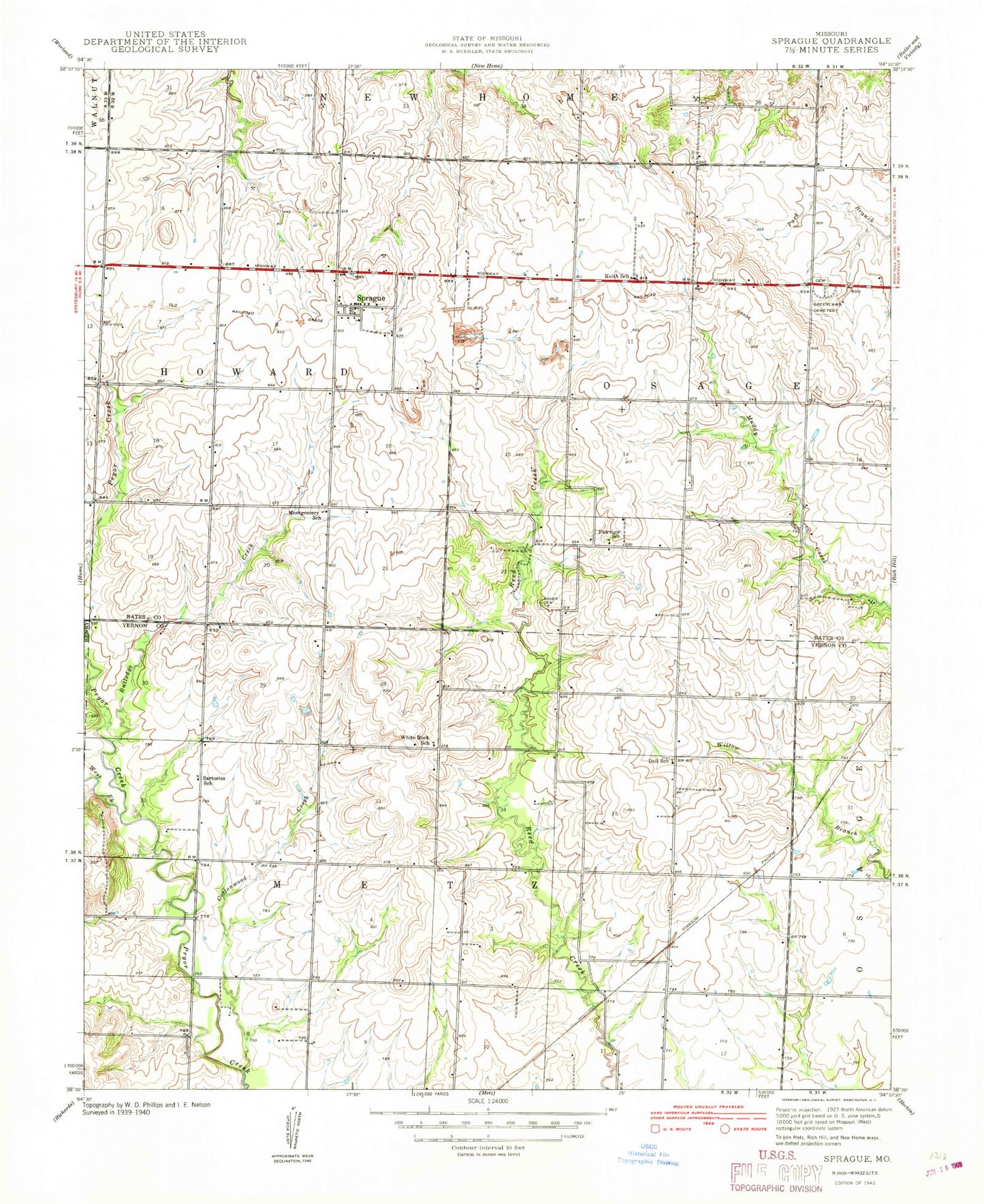
Classic USGS Sprague Missouri 7.5'x7.5' Topo Map
Couldn't load pickup availability
Historical USGS topographic quad map of Sprague in the state of Missouri. Map scale may vary for some years, but is generally around 1:24,000. Print size is approximately 24" x 27"
This quadrangle is in the following counties: Bates, Vernon.
The map contains contour lines, roads, rivers, towns, and lakes. Printed on high-quality waterproof paper with UV fade-resistant inks, and shipped rolled.
Contains the following named places: Bethel Church, Cottonwood Creek, Dell School, Fairview Rider Cemetery, Fairview School, Greenlawn Cemetery, Harmony Mission Wildlife Area, Keith, Keith School, Mongomery School, Mononame 64 Dam, Peabody Wildlife Area, Pohl-Harner Lake Dam, Rutledge Creek, Sartorius School, Sprague, Sprague School, West Fork Pryor Creek, White Rock School, ZIP Code: 64779