MyTopo
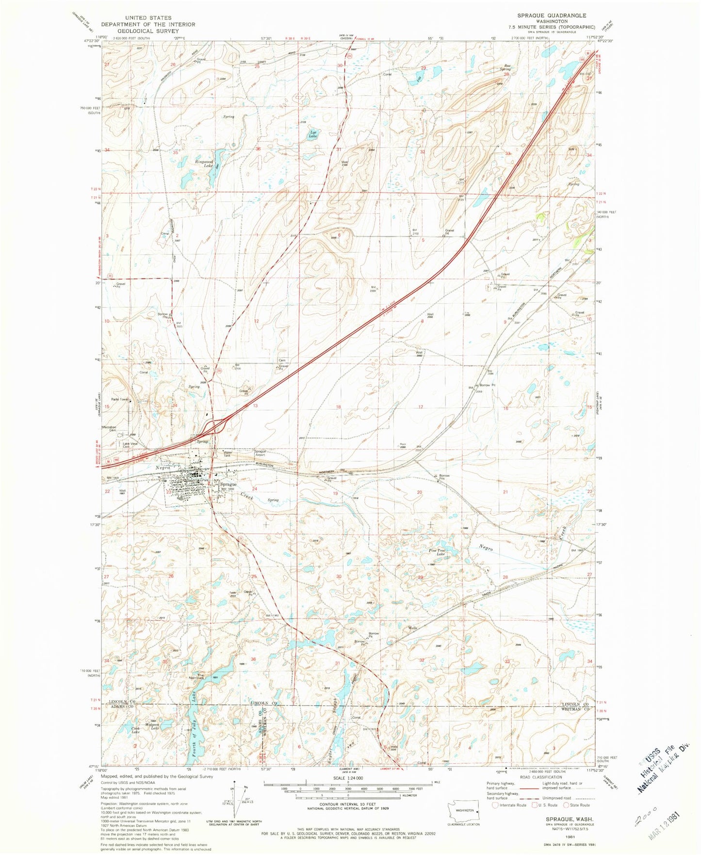
Classic USGS Sprague Washington 7.5'x7.5' Topo Map
Couldn't load pickup availability
Historical USGS topographic quad map of Sprague in the state of Washington. Map scale may vary for some years, but is generally around 1:24,000. Print size is approximately 24" x 27"
This quadrangle is in the following counties: Adams, Lincoln, Whitman.
The map contains contour lines, roads, rivers, towns, and lakes. Printed on high-quality waterproof paper with UV fade-resistant inks, and shipped rolled.
Contains the following named places: Box Spring, City of Sprague, Cook Lake, Fourth of July Lake, Lake View Cemetery, Lincoln County Fire District 1 Emergency Response Center, Lye Lake, Macabee Cemetery, Pine Tree Lake, Redfern Aerodrome, Ringwood Lake, Snyder Slough, Sprague, Sprague Elementary School, Sprague High School, Sprague Post Office, The Narrows, Widgeon Lake