MyTopo
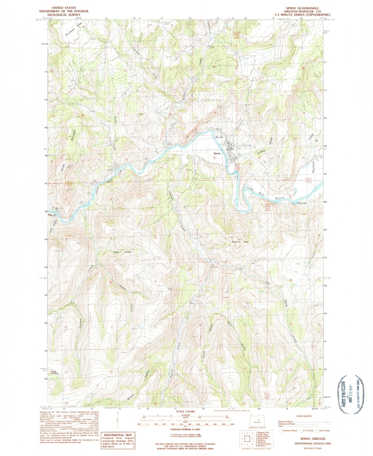
Classic USGS Spray Oregon 7.5'x7.5' Topo Map
Couldn't load pickup availability
Historical USGS topographic quad map of Spray in the state of Oregon. Map scale may vary for some years, but is generally around 1:24,000. Print size is approximately 24" x 27"
This quadrangle is in the following counties: Wheeler.
The map contains contour lines, roads, rivers, towns, and lakes. Printed on high-quality waterproof paper with UV fade-resistant inks, and shipped rolled.
Contains the following named places: Balm Hollow, Branson Canyon, Burton Canyon, Button Hollow, Canyon Creek, Corncob Creek, Cry Creek, Evans Creek, Harper Mountain, Haystack Creek, Haystack Valley, Holmes Creek, Kahler Creek, Laurel Hollow, Left Hand Creek, Long Hollow, Parrish Creek, Poplar Post Office, Sentinel Peak, Slick Hollow, Snabel Creek, Spray, Spray Airstrip, Spray Boat Access Site, Spray Cemetery, Spray City Hall, Spray Pioneer Museum, Spray Post Office, Spray Public Works Road Department, Spray Riverfront Park, Spray Rodeo Grounds, Spray School, Spray School Public Library, Spray Sewage Treatment Plant, Spray Volunteer Ambulance Association, Spray Volunteer Fire Department, Town Gulch, Town of Spray, ZIP Code: 97874