MyTopo
Classic USGS Spring City Nevada 7.5'x7.5' Topo Map
Couldn't load pickup availability
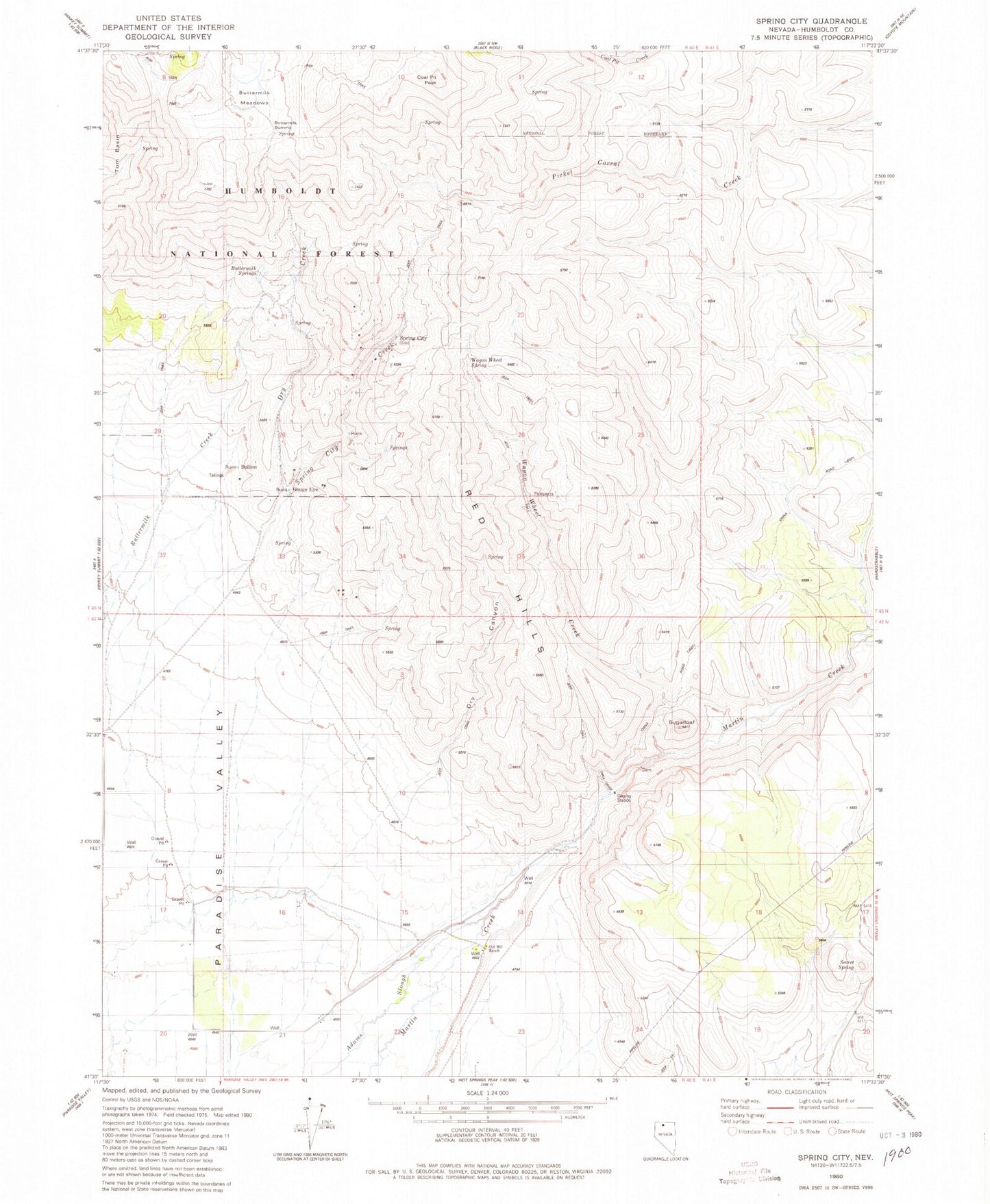
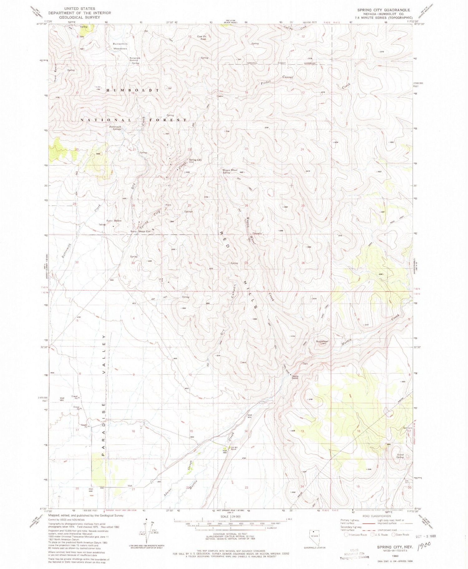
Historical USGS topographic quad map of Spring City in the state of Nevada. Map scale may vary for some years, but is generally around 1:24,000. Print size is approximately 24" x 27"
This quadrangle is in the following counties: Humboldt.
The map contains contour lines, roads, rivers, towns, and lakes. Printed on high-quality waterproof paper with UV fade-resistant inks, and shipped rolled.
Contains the following named places: Ansotegui Ranch, Bullion, Buttermilk Meadows, Buttermilk Springs, Buttermilk Summit, Cerri Ranch, China Grade, China Road, Coal Pit Creek, Coal Pit Peak, Deadman Gulch, Dry Canyon, Dry Creek, Gouge Eye, Humboldt County Fish Hatchery, Old Mill Ranch, Paradise Mill, Paradise Mining District, Paradise Valley Mining District, Queen City, Red Hills, Secret Spring, Spring City, Spring City Canyon, Spring City Creek, Spring City Post Office, Sugarloaf, Sugarloaf Dam, Wagon Wheel Creek, Wagon Wheel Spring