MyTopo
Classic USGS Spring Creek Tennessee 7.5'x7.5' Topo Map
Couldn't load pickup availability
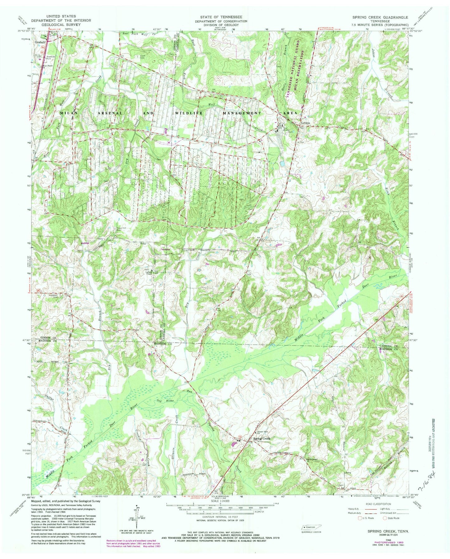
Historical USGS topographic quad map of Spring Creek in the state of Tennessee. Map scale may vary for some years, but is generally around 1:24,000. Print size is approximately 24" x 27"
This quadrangle is in the following counties: Carroll, Gibson, Madison.
The map contains contour lines, roads, rivers, towns, and lakes. Printed on high-quality waterproof paper with UV fade-resistant inks, and shipped rolled.
Contains the following named places: Bellwood School, Birch Branch, Crooked Creek, District 1, Dry Branch, Dry Creek, Duffys Creek, Elam Cemetery, Gilmers Creek, Graball, Hope Hill Cemetery, Hope Hill Church, Hope Hill School, Hopewell Cemetery, Hopewell Church, Lake Site Number 86-2, Latham Chapel, Lavinia, Lavinia Baptist Church, Lavinia Cemetery, Lavinia Census Designated Place, Lavinia Methodist Church, Lavinia Post Office, Madison County Fire Department Station 7, New Carmel Church, OFDBA Number 86-2 Dam, Old River Run, Spring Creek, Spring Creek Baptist Church, Spring Creek Post Office, Spring Creek School, Strayhorn School, Sunset View Church, West Carroll Primary School, West Plains Church, ZIP Code: 38348