MyTopo
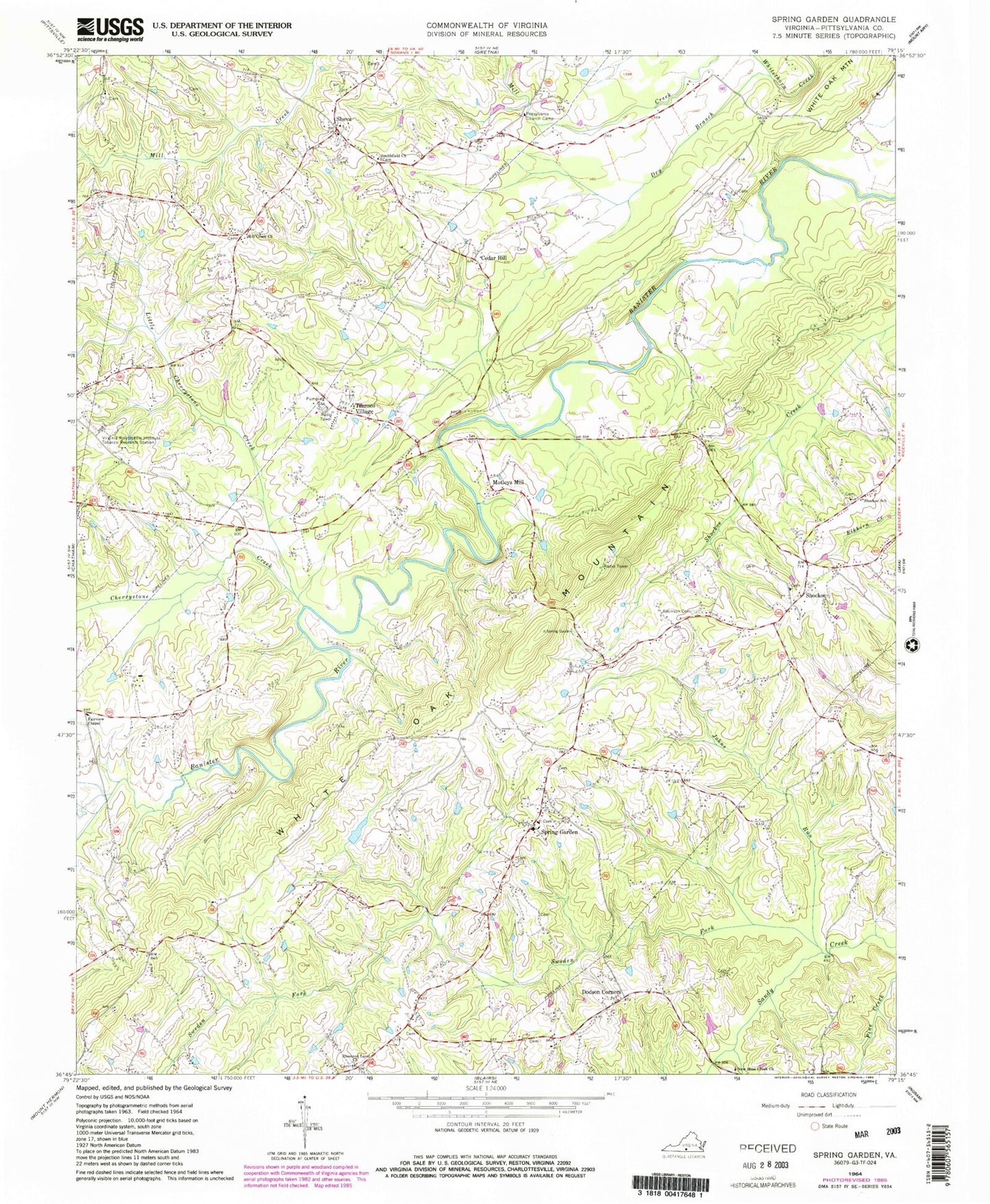
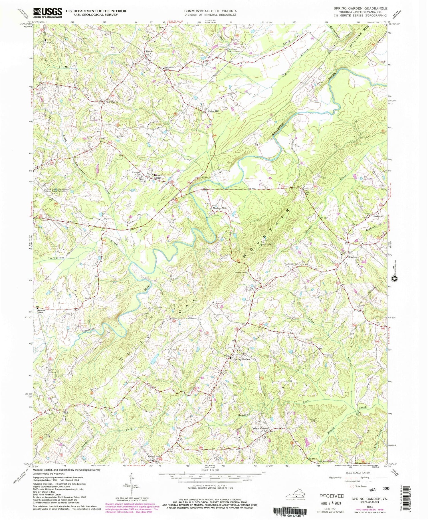
Classic USGS Spring Garden Virginia 7.5'x7.5' Topo Map
Couldn't load pickup availability
Historical USGS topographic quad map of Spring Garden in the state of Virginia. Map scale may vary for some years, but is generally around 1:24,000. Print size is approximately 24" x 27"
This quadrangle is in the following counties: Pittsylvania.
The map contains contour lines, roads, rivers, towns, and lakes. Printed on high-quality waterproof paper with UV fade-resistant inks, and shipped rolled.
Contains the following named places: Atkinson Cemetery, Banister District, Banister School, C B Firth Dam, Cedar Hill, Cherrystone Creek, Chestnut Level Church, Clark Bridge, Dodson Corners, Dry Branch, Fairview Chapel, Hood Dam, Hood Lake, Johns Run, Little Cherrystone Creek, Mill Creek Church, Mill Creek School, Motleys Mill, Mountain Spring Church, New Mine Creek Church, Pittsylvania Church Camp, Robinson Bridge, Sheva, Shockoe, Shockoe Baptist Church, Shockoe School, Singers Grove School, Smithfield Church, Sonans School, Spring Garden, Sweden Fork, Transco Village, Walnut Winds Farm, Wayside School, White Oak Mountain Dam, White Oak Mountain Lake, White Oak Mountain Wildlife Management Area


