MyTopo
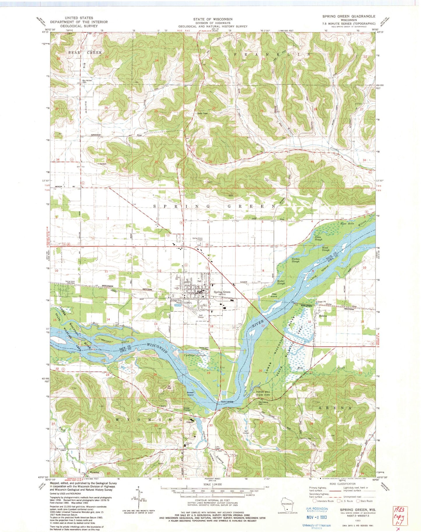
Classic USGS Spring Green Wisconsin 7.5'x7.5' Topo Map
Couldn't load pickup availability
Historical USGS topographic quad map of Spring Green in the state of Wisconsin. Map scale may vary for some years, but is generally around 1:24,000. Print size is approximately 24" x 27"
This quadrangle is in the following counties: Iowa, Sauk.
The map contains contour lines, roads, rivers, towns, and lakes. Printed on high-quality waterproof paper with UV fade-resistant inks, and shipped rolled.
Contains the following named places: Big Hollow, Big Hollow Cemetery, Blue Hole, Bossard Memorial Library, Christ Lutheran Church, Cynthia Slough, Deer Island, Helen Lake, Helena, Hill Slough, Hillside Home School, Hutter Slough, Jones Slough, Jones Valley, Kempthorne Medical Building, Long Island, Lower Taliesin Lake 12, Lowery Creek, Metcalf Island, Midway Farm, Mill Creek, Norton Slough, Oak Ridge Estates, Old Helena Cemetery, Pecks Landing, River Valley Elementary School, River Valley High School, River Valley Middle School, Saint Johns Catholic Church, Saint John's Catholic School, Spring Green, Spring Green Area Fire Protection District and Emergency Medical Services, Spring Green Chapel, Spring Green Congregational Church, Spring Green Muncipal Golf Course, Spring Green Muncipal Park, Spring Green Police Department, Spring Green Post Office, Spring Green Prairie, Spring Green Preserve State Natural Area, Spring Green South Park, Spring Green Town - Sauk County Sheriff's Office, Spring Green Wastewater Treatment Facility, Sweet Island, Taliesin, The Springs Golf Course, Tower Hill, Tower Hill Bottoms State Natural Area, Tower Hill State Park, Town of Spring Green, Unity Chapel, Village of Spring Green, Wilson Creek, Wintergreen Downhill Ski Lodge, Wood Slough, Wright 3WR1787 Dam, Wyoming, Wyoming Valley Methodist Church, ZIP Code: 53588


