MyTopo
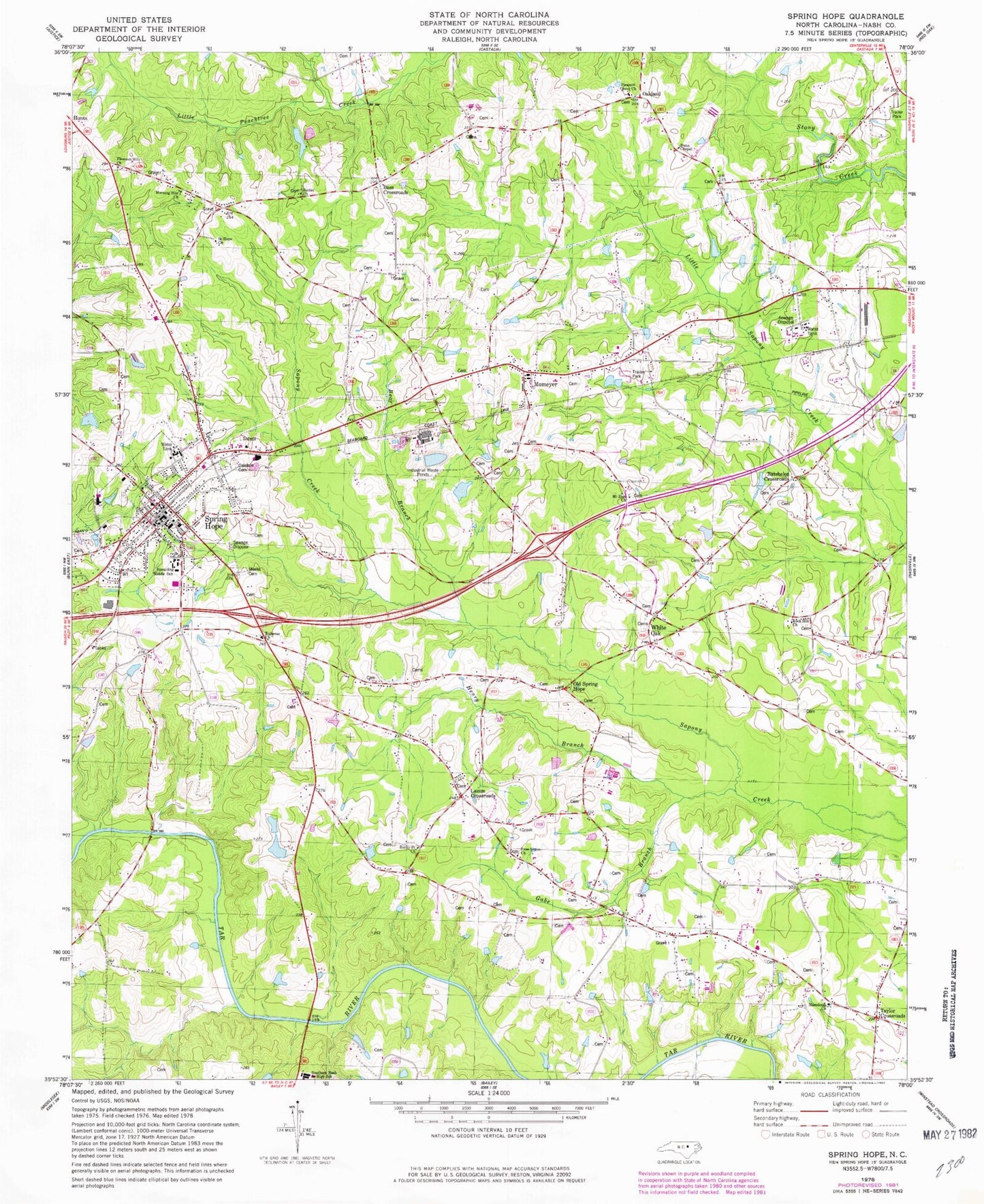
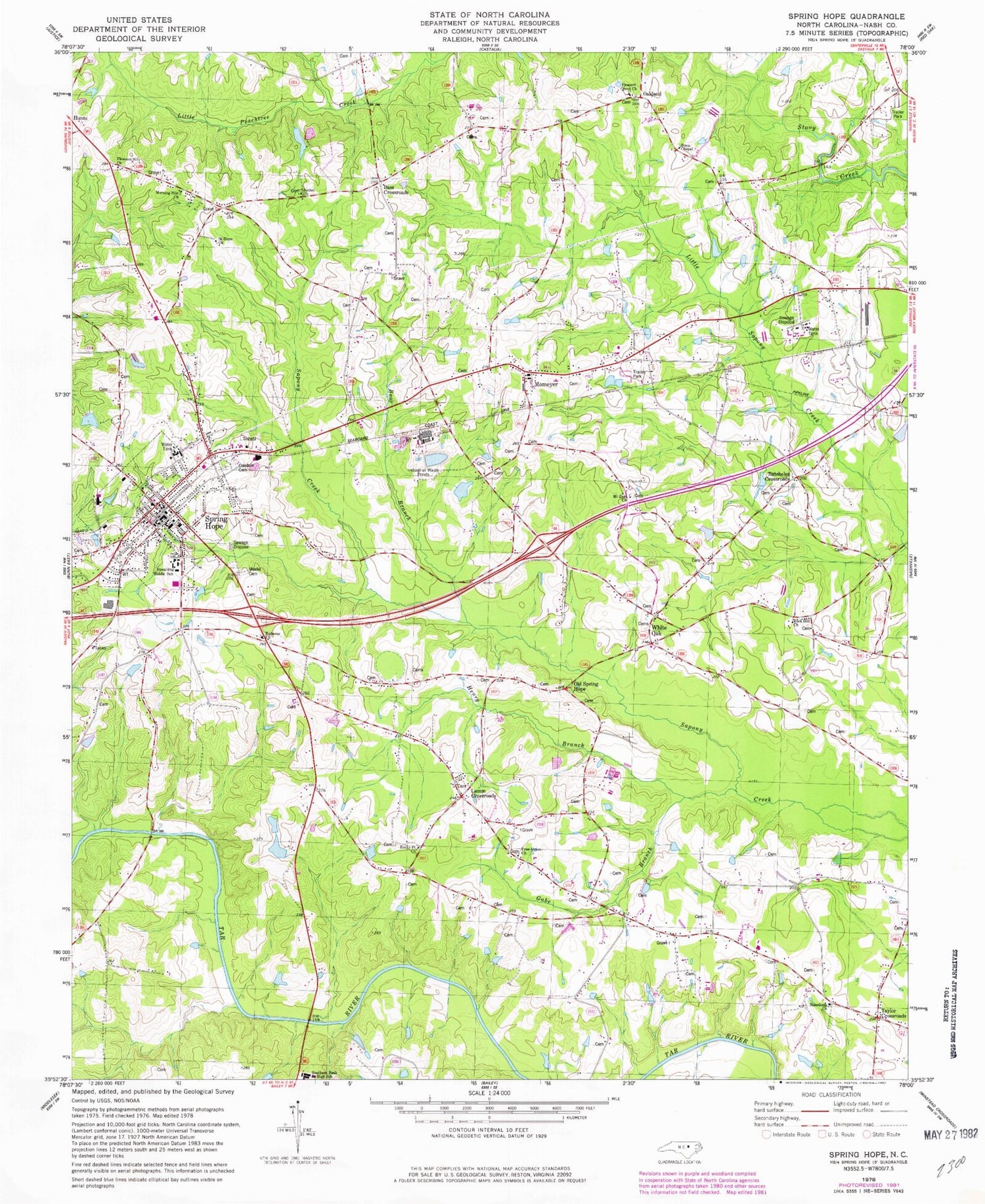
Classic USGS Spring Hope North Carolina 7.5'x7.5' Topo Map
Couldn't load pickup availability
Historical USGS topographic quad map of Spring Hope in the state of North Carolina. Map scale may vary for some years, but is generally around 1:24,000. Print size is approximately 24" x 27"
This quadrangle is in the following counties: Nash.
The map contains contour lines, roads, rivers, towns, and lakes. Printed on high-quality waterproof paper with UV fade-resistant inks, and shipped rolled.
Contains the following named places: Bains School, Bass Church, Bass Crossroads, Batchelor Crossroads, Bear Branch, Bethel Church, Bodies Millpond Dam, Browns Bridge, Bunn Chapel, Debroux School, Ephesus Church, Farm Service Agency Interest of North Carolina, Finch, Free Union Church, Free Union Church Cemetery, Gabe Branch, Hendricks Store, Henry Branch, Hunts, Hunts School, Lamm Crossroads, Macedonia Church, Macedonia School, Meeks Cemetery, Momeyer, Momeyer Volunteer Fire and Rescue Department, Morning Star Church, Mount Zion Church, Mount Zion Church Cemetery, Nash Correctional Institution, New Peachtree Church, Oakdale Cemetery, Oakland, Old Spring Hope, Pleasant Grove Academy, Pleasant Grove Church, Pleasant Hill Church, Red Crossroads, Rock Hill Church, Rocky Point Church, Saint Hope Church, Southern Nash Junior High School, Spaulding Middle School, Spring Hope, Spring Hope Church, Spring Hope Elementary School, Spring Hope Fire Department, Spring Hope Police Department, Spring Hope Post Office, Taylor Crossroads, Town of Momeyer, Town of Spring Hope, Township of Mannings, Tysons School, Webbs Millpond, Webbs Millpond Dam, White Oak, White Oak School, York Bridge, ZIP Code: 27882


