MyTopo
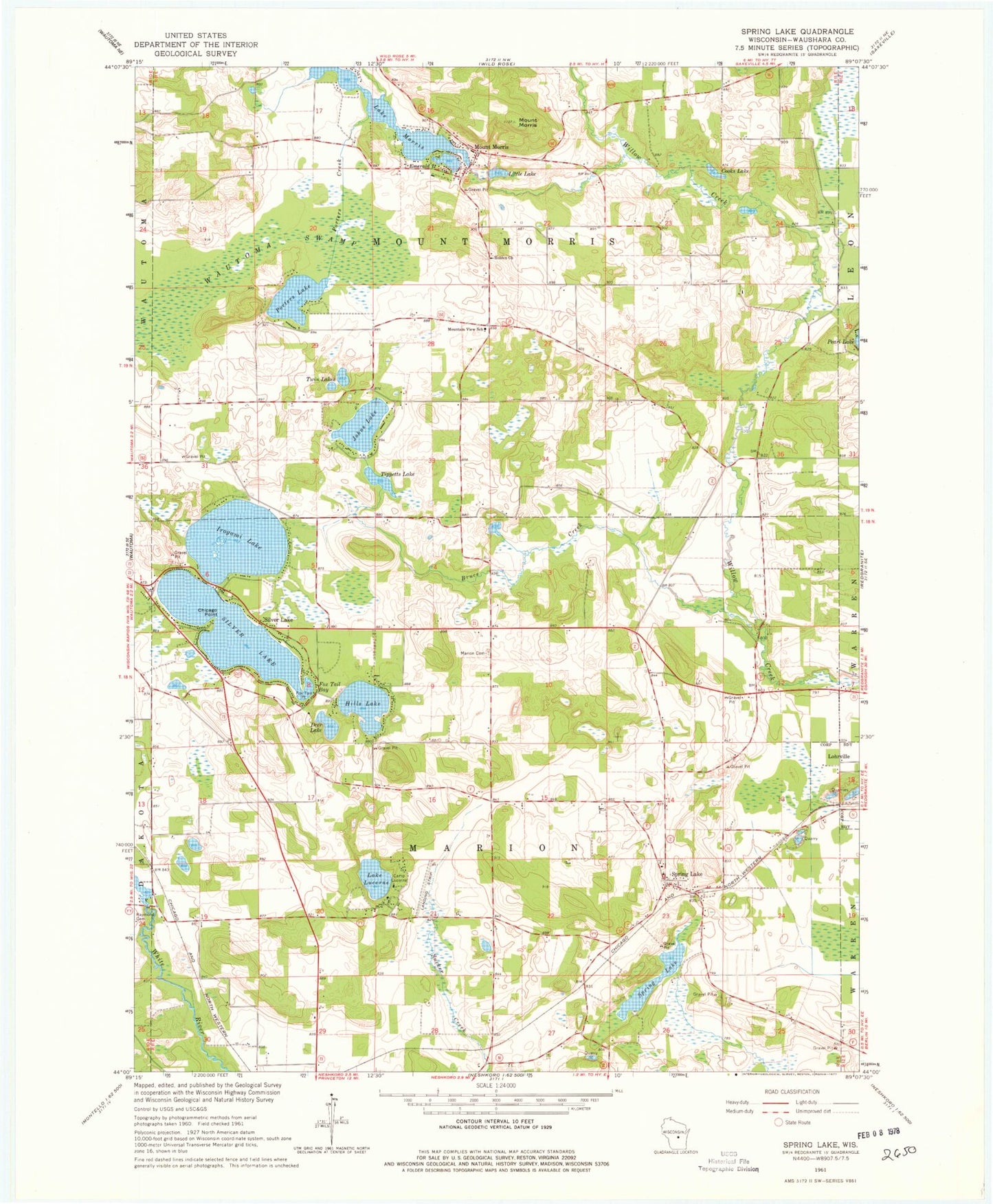
Classic USGS Spring Lake Wisconsin 7.5'x7.5' Topo Map
Couldn't load pickup availability
Historical USGS topographic quad map of Spring Lake in the state of Wisconsin. Map scale may vary for some years, but is generally around 1:24,000. Print size is approximately 24" x 27"
This quadrangle is in the following counties: Waushara.
The map contains contour lines, roads, rivers, towns, and lakes. Printed on high-quality waterproof paper with UV fade-resistant inks, and shipped rolled.
Contains the following named places: Alpine Lake 3WR471 Dam, Alpine Lake 4, Bruce Creek, Camp Lucerne, Chicago Point, Cooks Lake, Deer Lake, Emerald Lake, Fish Lake 2WP6 Dam, Fish Lake 5, Fox Tail Bay, Fox Tail Point, Hills Lake, Holden Church, Irogami Lake, Johns Lake, Lake Lucerne, Lake Morris, Little Lake, Lower White River WP271 Dam, Marion Cemetery, Marion Town Police Department, Mount Morris, Mount Morris 3WR1972 Dam, Mountain View School, Oakridge Mennonite School, Plantation Pine Airport, Porters Creek, Porters Lake, Silver Lake, Spring Creek Airport, Spring Lake, Squaw Lake, Tippetts Lake, Town of Marion, Town of Mount Morris, Twin Lakes, Waushara County, Wautoma Swamp, White River Flowage, Wood Tick Strip


