MyTopo
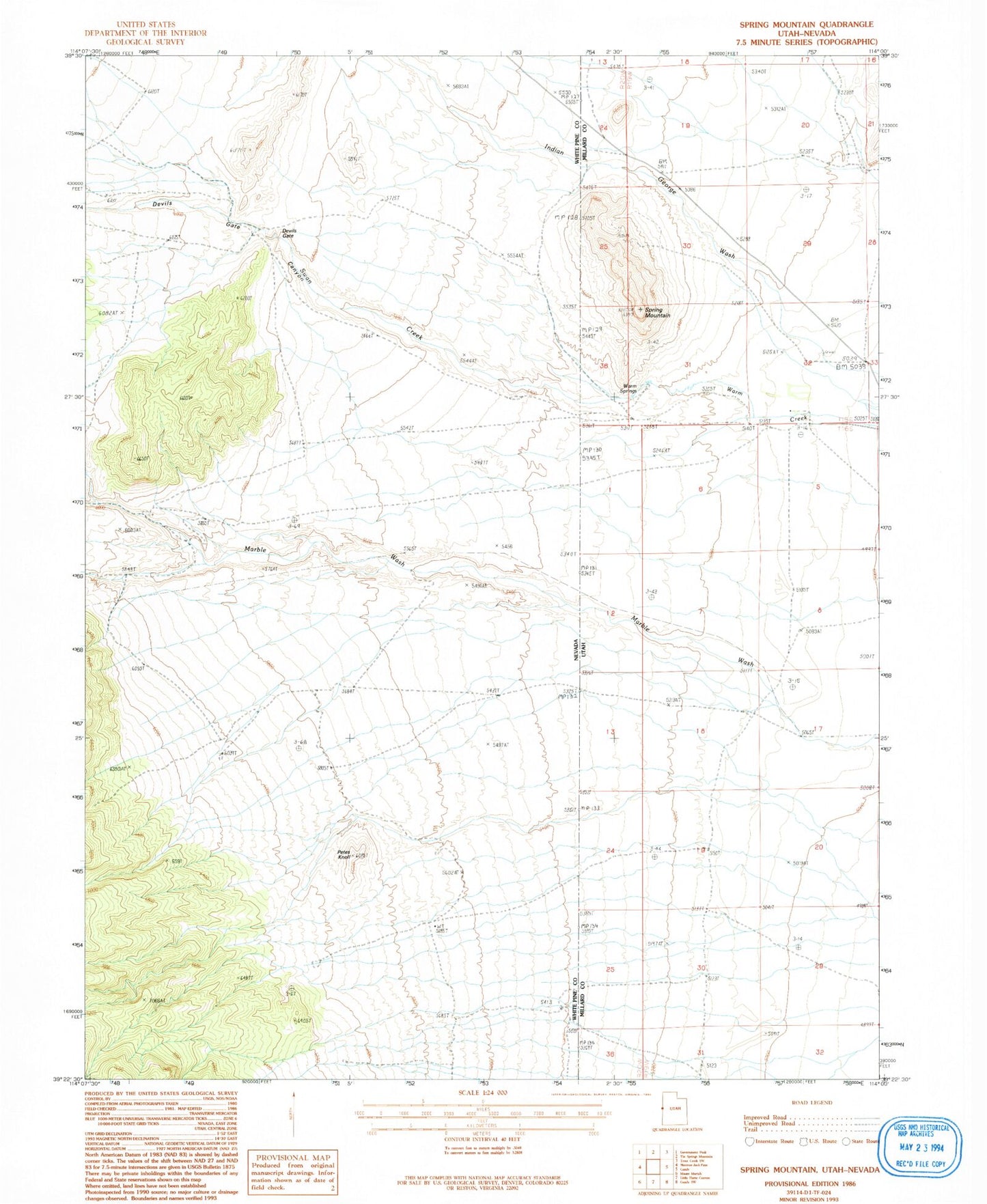
Classic USGS Spring Mountain Utah 7.5'x7.5' Topo Map
Regular price
$16.95
Regular price
Sale price
$16.95
Unit price
per
Couldn't load pickup availability
Historical USGS topographic quad map of Spring Mountain in the states of Utah, Nevada. Map scale may vary for some years, but is generally around 1:24,000. Print size is approximately 24" x 27"
This quadrangle is in the following counties: Millard, White Pine.
The map contains contour lines, roads, rivers, towns, and lakes. Printed on high-quality waterproof paper with UV fade-resistant inks, and shipped rolled.
Contains the following named places: Devils Gate, Devils Gate Canyon, Indian George Wash, Marble Monster Mine, Marble Vale Mine, Petes Knoll, Spring Mountain, Swan Creek, Warm Springs