MyTopo
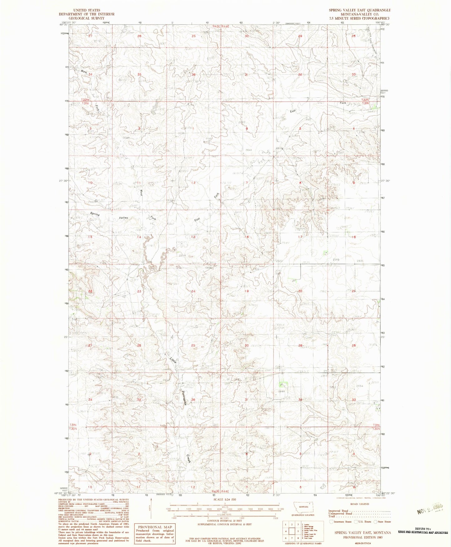
Classic USGS Spring Valley East Montana 7.5'x7.5' Topo Map
Regular price
$16.95
Regular price
Sale price
$16.95
Unit price
per
Couldn't load pickup availability
Historical USGS topographic quad map of Spring Valley East in the state of Montana. Map scale may vary for some years, but is generally around 1:24,000. Print size is approximately 24" x 27"
This quadrangle is in the following counties: Valley.
The map contains contour lines, roads, rivers, towns, and lakes. Printed on high-quality waterproof paper with UV fade-resistant inks, and shipped rolled.
Contains the following named places: 31N44E04AAAC01 Well, 31N44E17DDAA01 Well, 31N44E20BDBD01 Well, 31N44E28AAAB01 Well, 31N44E28AAAC01 Well, 31N44E33DABA01 Well, 31N44E33DADA01 Well, East Fork Little Porcupine Creek, Ghost Number 3 Dam, Olfert Airport, Spring Valley, West Fork Little Porcupine Creek