MyTopo
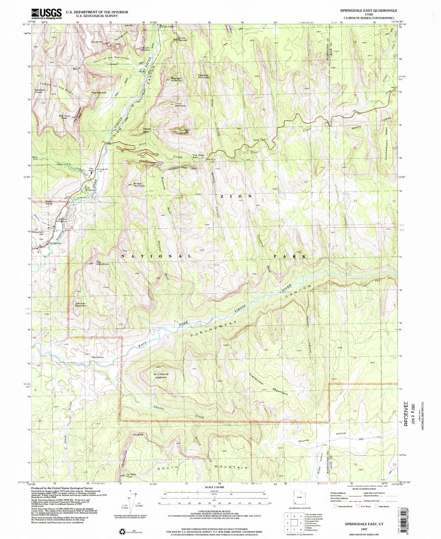
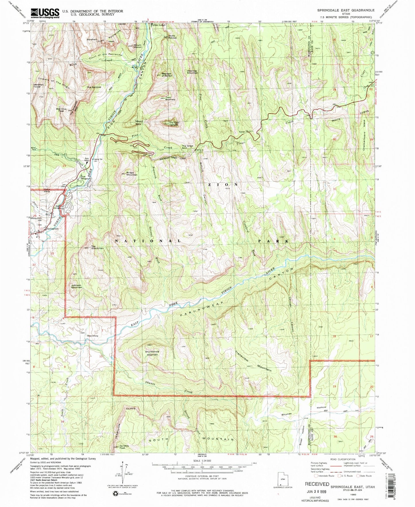
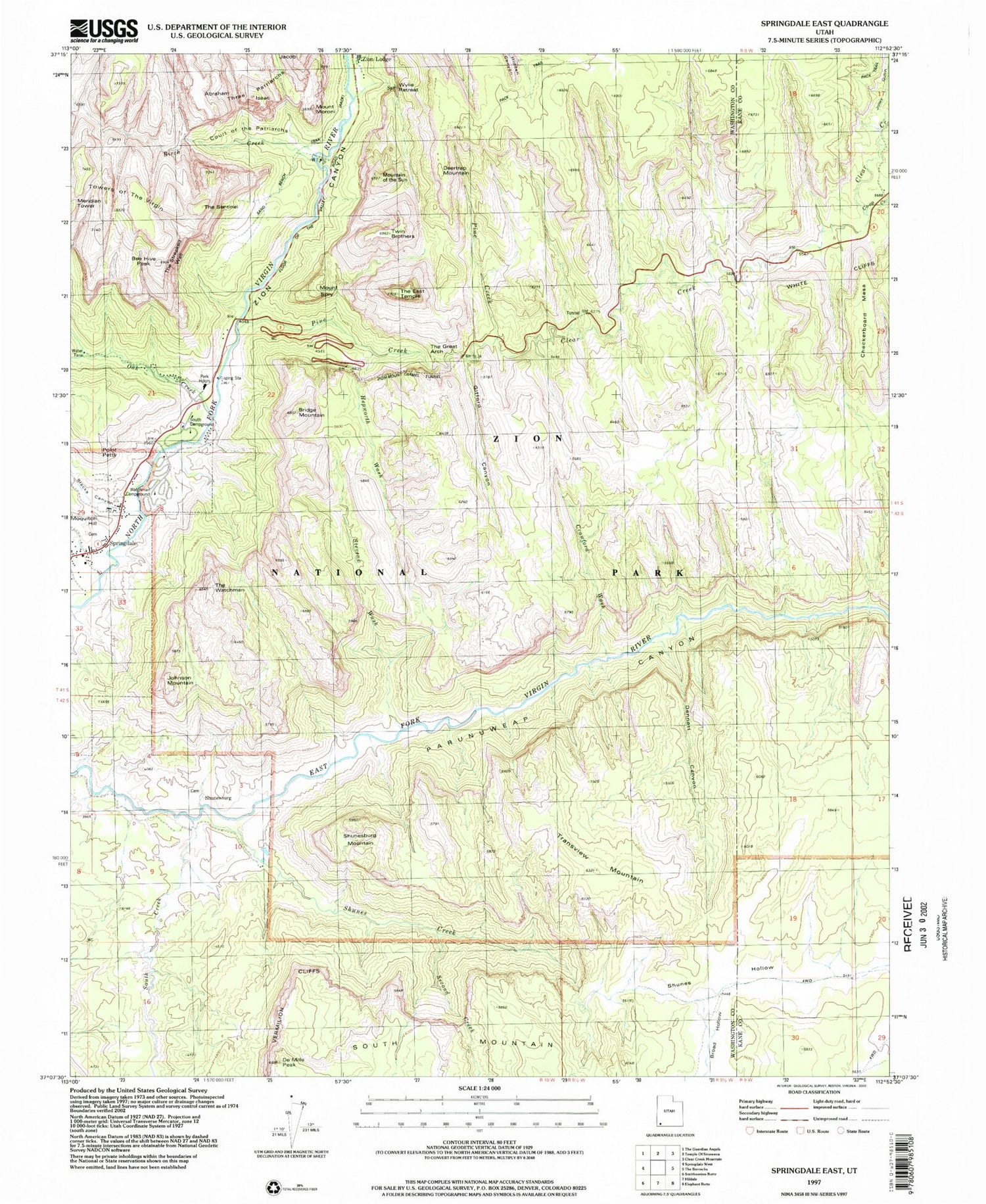
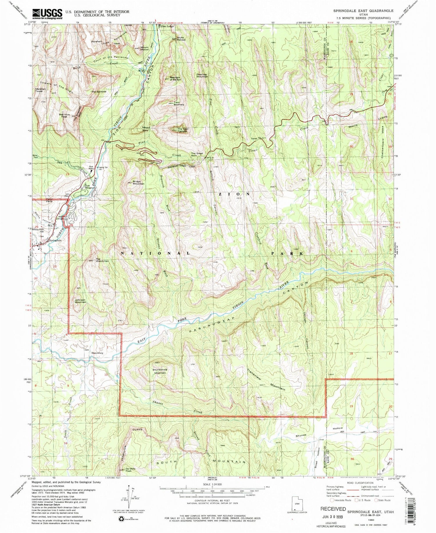
Classic USGS Springdale East Utah 7.5'x7.5' Topo Map
Couldn't load pickup availability
Historical USGS topographic quad map of Springdale East in the state of Utah. Typical map scale is 1:24,000, but may vary for certain years, if available. Print size: 24" x 27"
This quadrangle is in the following counties: Kane, Washington.
The map contains contour lines, roads, rivers, towns, and lakes. Printed on high-quality waterproof paper with UV fade-resistant inks, and shipped rolled.
Contains the following named places: Birch Creek, Blacks Canyon, Bridge Mountain, Checkerboard Mesa, Clear Creek, Court of the Patriarchs, Crawford Wash, De Mille Peak, Deertrap Mountain, Dennett Canyon, Gifford Canyon, Hepworth Wash, Johnson Mountain, Jolley Gulch, Lewis Ranch, Moquitch Hill, Mount Moroni, Mountain of the Sun, Oak Creek, Pine Creek, Point Petty, Second Creek, Shunesburg Mountain, South Campground, South Creek, Springdale, Mount Spry, Stevens Wash, Bee Hive, The East Temple, The Sentinel, The Streaked Wall, The Watchman, Three Patriarchs, Transview Mountain, Twin Brothers, Zion Lodge, Zion-Mount Carmel Highway Tunnel, Abraham Peak, Canyon Overlook Trail, East Entrance, Isaac Peak, Sand Bench Trail, South Entrance, Springdale Elementary School, Watchman Campground, Watchman Trail, Zion, Zion Canyon Visitor Center, Zion Nature Center, Broad Hollow, Shunes Creek, Shunes Hollow, Co-op Creek, Shunesburg, Oak Creek Residential Area, Pine Creek Gorge, Virgin River Bridge, Watchman Residential Area, Wylie Retreat, Canyon Overlook, The Church of Jesus Christ of Latter Day Saints, Zion National Park Fire and Aviation Management, Springdale - Zion Canyon Police Department, Springdale Post Office, Hilltop Cemetery, Shunesburg Cemetery


