MyTopo
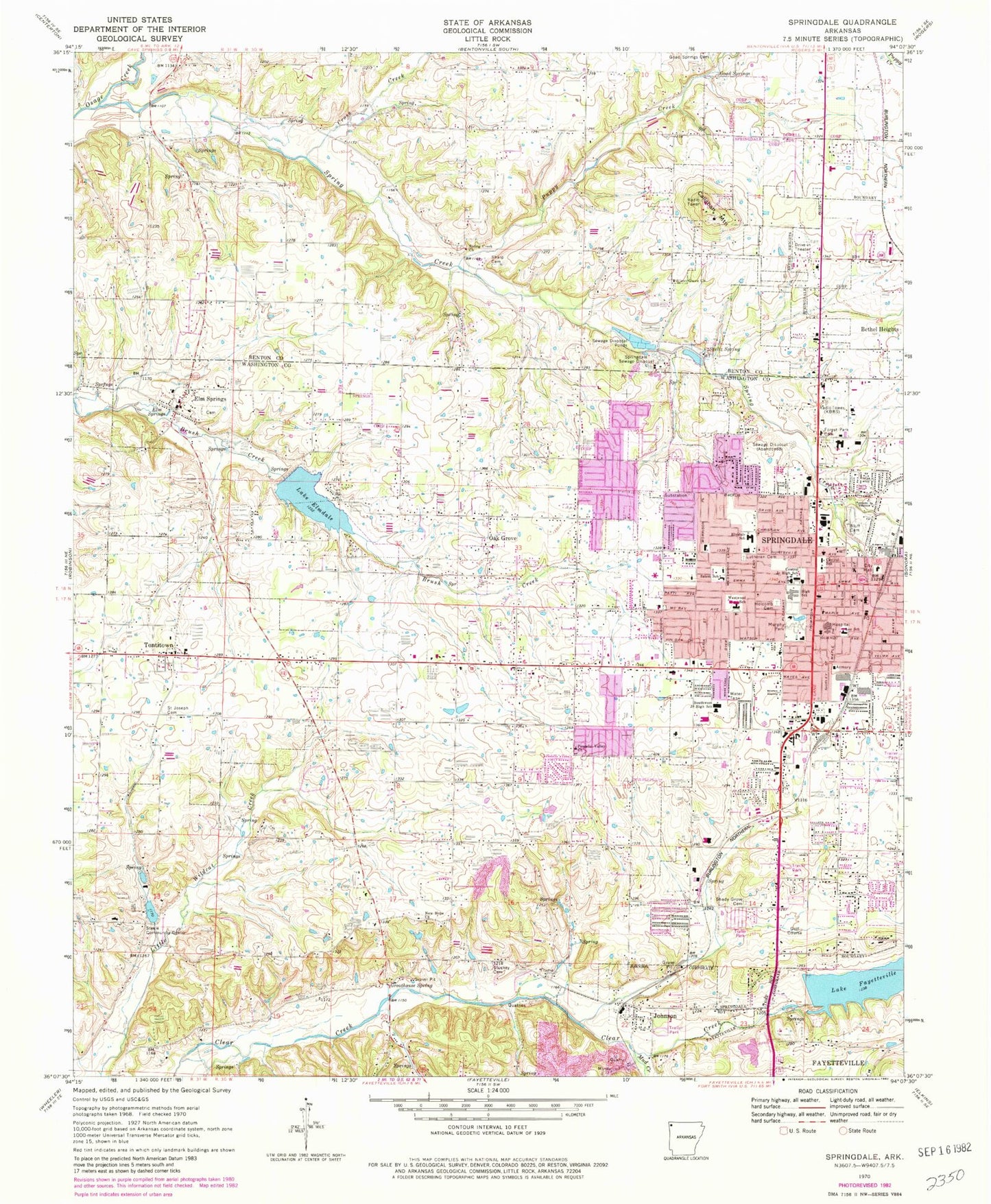
Classic USGS Springdale Arkansas 7.5'x7.5' Topo Map
Couldn't load pickup availability
Historical USGS topographic quad map of Springdale in the state of Arkansas. Map scale may vary for some years, but is generally around 1:24,000. Print size is approximately 24" x 27"
This quadrangle is in the following counties: Benton, Washington.
The map contains contour lines, roads, rivers, towns, and lakes. Printed on high-quality waterproof paper with UV fade-resistant inks, and shipped rolled.
Contains the following named places: Air - Evacuation Lifeteam - Springdale, Arbor Acres Lake, Arbor Acres Lake Dam, Arkansas and Missouri Railroad Security and Information Unit, Arkansas Paramed Transfer Service Springdale, Arts Center of the Ozarks, Bernice Young Elementary School, Bethany Fellowship Church, Bethel Heights, Bethel Heights Police Department, Bethel Heights Volunteer Fire Department, Bethel School, Bluff Cemetery, Callahan Mountain, Caudle Avenue Baptist Church, Center Corner School, Central Elementary School, Central High School, Central Junior High School, City of Bethel Heights, City of Elm Springs, City of Johnson, City of Springdale, City of Tontitown, Cross Creek, Cross Roads, Elm Springs, Elm Springs Cemetery, Elm Springs Police Department, Elm Springs Post Office, Elmdale Baptist Church, Elmdale Elementary School, Evangel Assembly of God Church, First Christian Church, First Church of Christ Scientist, First Church of the Nazarene, First United Methodist Church, First United Presbyterian Church, Forest Park Cemetery, George Elementary School, George Junior High School, Goad Springs, Goad Springs Cemetery, Grace Baptist Church, Greathouse Spring, Gulley, Har - Ber High School, Helen Tyson Middle School, Hellstern Middle School, Hewitts Mill, Holcomb Cemetery, Immanuel Baptist Church, John Tyson Elementary School, Johnson, Johnson Police Department, Johnson Post Office, Johnson Volunteer Fire Department, KBRS-AM (Springdale), Lake Elmdale, Lake Elmdale Dam, Lake Fayetteville, Lake Fayetteville Dam, Lee Elementary School, Liberty, Mud Creek, Murphy Park, New Hope Church, Northwest Arkansas Mall Shopping Center, Northwest Medical Center - Springdale, Northwest Medical Center - Willow Creek Women's Hospital, Northwest Medical Transfer Service, Oak Grove, Oak Grove Baptist Church, Peaceful Valley Church, Plaza Shopping Center, Pleasant Street Church of Christ, Puppy Creek, Robert E Lee Elementary School, Saint Joseph Cemetery, Saint Raphaels Catholic Church, Saint Thomas Episcopal Church, Salem Lutheran Church, Salem School, Shady Grove, Shady Grove Cemetery, Sharp Cemetery, Shiloh Christian School, Shiloh Church, Shiloh Historic District, Shiloh Memorial Park, Shiloh Museum, Silent Grove, Silent Grove Baptist Church, Silent Grove Cemetery, Silent Grove School, Smith Elementary School, Southwest Junior High School, Spring Creek, Spring Creek Bridge, Spring Creek Cemetery, Spring Creek Missionary Baptist Church, Spring Creek School, Springdale, Springdale Branch Library, Springdale City Hall, Springdale Country Club, Springdale Fire Department Ambulance, Springdale Fire Department Station 1, Springdale Fire Department Station 2, Springdale Fire Department Station 3, Springdale Fire Department Station 4, Springdale Fire Department Station 6, Springdale High School, Springdale Memorial Hospital Heliport, Springdale Missionary Baptist Church, Springdale Police Department, Springdale Post Office, Springdale Sewage Disposal, Springdale Station Post Office, Steele, Steele Community Center, Stuckey Cemetery, Stultz Spring, Sunset Square Shopping Center, Thurman G Smith Elementary School, Tontitown, Tontitown Fire Department, Tontitown Post Office, Township of Johnson, Township of Tontitown, Union School, Vogel, Walker Elementary School, Wesley United Methodist Church, Westwood Elementary School, ZIP Code: 72762


