
MyTopo
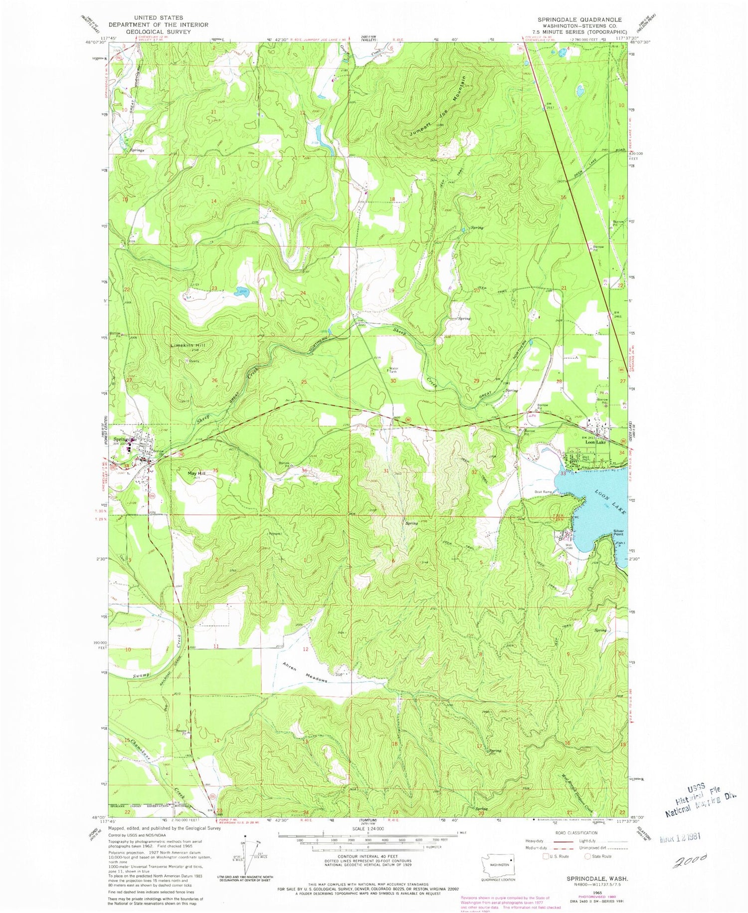
Classic USGS Springdale Washington 7.5'x7.5' Topo Map
Couldn't load pickup availability
Historical USGS topographic quad map of Springdale in the state of Washington. Map scale may vary for some years, but is generally around 1:24,000. Print size is approximately 24" x 27"
This quadrangle is in the following counties: Stevens.
The map contains contour lines, roads, rivers, towns, and lakes. Printed on high-quality waterproof paper with UV fade-resistant inks, and shipped rolled.
Contains the following named places: Ahren Meadows, Deer Park Mennonite Church, Jumpoff Joe Mountain, Limekiln Hill, Loon Lake, Loon Lake Acres Mobile Home Park, Loon Lake Assembly of God Church, Loon Lake Census Designated Place, Loon Lake Dam, Loon Lake Elementary School, Loon Lake Post Office, Mary Walker High School, May Hill, Pine Bluff Airport, Silver Point, Sowers Reservoir, Sowers Reservoir Dam, Springdale, Springdale Community Church, Springdale Middle School, Springdale Post Office, Springdale Wastewater Treatment Plant, Stevens County Fire District 1 Station 2 Loon Lake, Stevens County Fire District 1 Station 7 Springdale, Town of Springdale, Tracy Point


