MyTopo
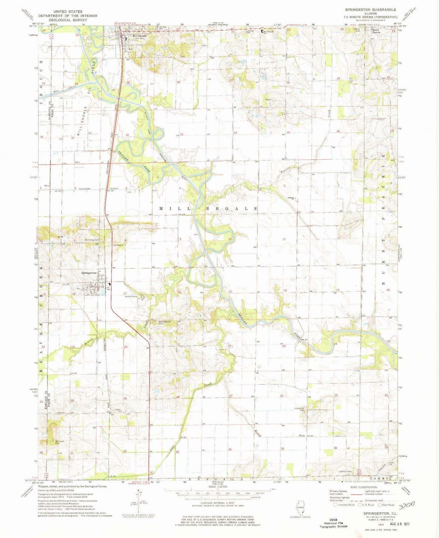
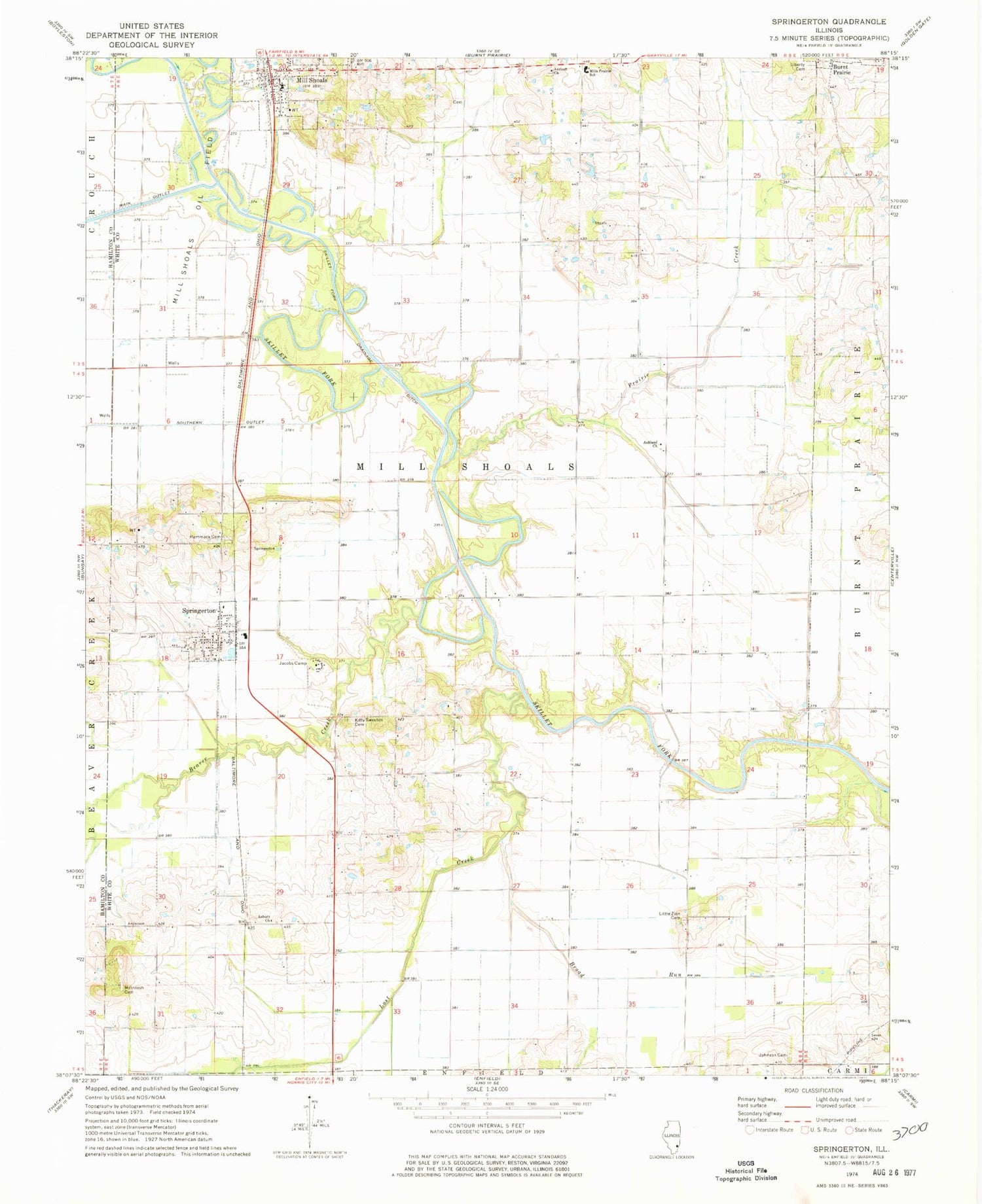
Classic USGS Springerton Illinois 7.5'x7.5' Topo Map
Couldn't load pickup availability
Historical USGS topographic quad map of Springerton in the state of Illinois. Map scale may vary for some years, but is generally around 1:24,000. Print size is approximately 24" x 27"
This quadrangle is in the following counties: Hamilton, White.
The map contains contour lines, roads, rivers, towns, and lakes. Printed on high-quality waterproof paper with UV fade-resistant inks, and shipped rolled.
Contains the following named places: Antioch Church, Asbury Church, Ashland Church, Ashland School, Beaver Creek, Borium Cemetery, Broad Run, Crossroads School, Fairfield Rural Fire Protection District Substation, Fairview Church, Fleck School, Hammack Cemetery, Jacobs Camp, Johnson Cemetery, Liberty Cemetery, Little Zion Cemetery, Little Zion Church, Lone Oak School, Lost Creek, McIntosh Cemetery, McIntosh School, McIntosh Settlement, Mill Shoals, Mill Shoals Oil Field, Mill Shoals Post Office, Mills Prairie School, Nubbin Ridge School, Pleasant Valley School, Prairie Creek, Satisfaction School, Springer Station, Springerton, Springerton Cemetery, Springerton Post Office, Township of Mill Shoals, Union School, Village of Mill Shoals, Village of Springerton, West Antioch Cemetery, White School, Wildcat School, ZIP Codes: 62862, 62887


