MyTopo
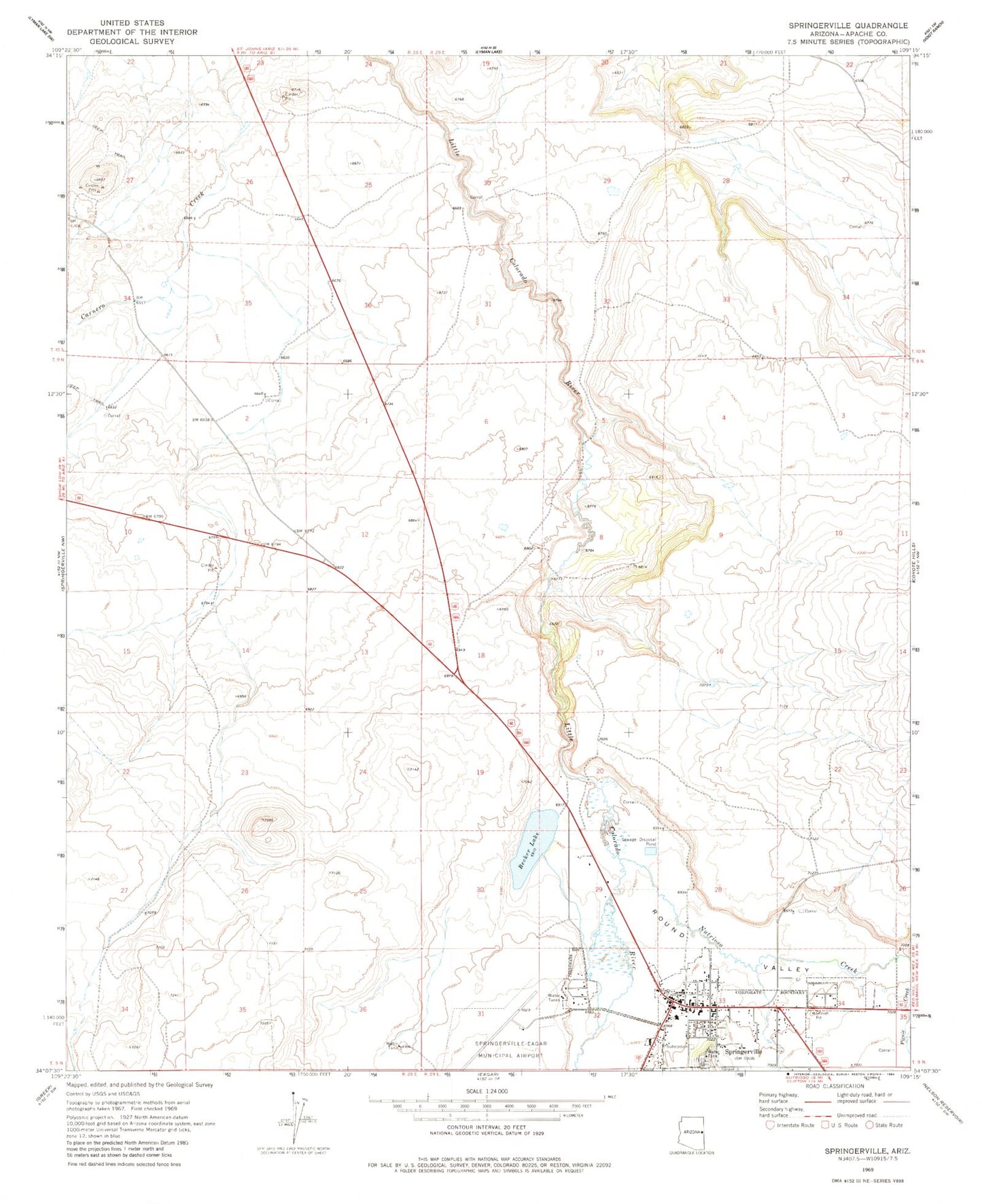
Classic USGS Springerville Arizona 7.5'x7.5' Topo Map
Couldn't load pickup availability
Historical USGS topographic quad map of Springerville in the state of Arizona. Map scale may vary for some years, but is generally around 1:24,000. Print size is approximately 24" x 27"
This quadrangle is in the following counties: Apache.
The map contains contour lines, roads, rivers, towns, and lakes. Printed on high-quality waterproof paper with UV fade-resistant inks, and shipped rolled.
Contains the following named places: Apache and Sitgraves Forest Supervisor Office, Apache County Sheriff's Office Round Valley, Becker Lake, Casa Malpais Campground, Casa Malpais Site, First Assembly of God, Immanuel Lutheran Church, Jesus First Community Church, Kingdom Hall of Jehovahs Witnesses Eager Congregation, KQAZ-FM (Springerville), KRVZ-AM (Springerville), Nutrioso Creek, Picnic Creek, Round Valley, Round Valley Senior Center, Saint Peter's Catholic Church, Springerville, Springerville Forest Service Facility, Springerville Municipal Airport, Springerville Police Department, Springerville Post Office, Springerville Ranger District Office, Springerville Seventh Day Adventist Church, Springerville Town Hall, Springfield Elementary School, Town of Springerville, United States Forest Service Fire Department Apache - Sitgreaves National Forest, Valle Redondo Trailer Park, White Mountain Regional Medical Center, ZIP Code: 85938