MyTopo
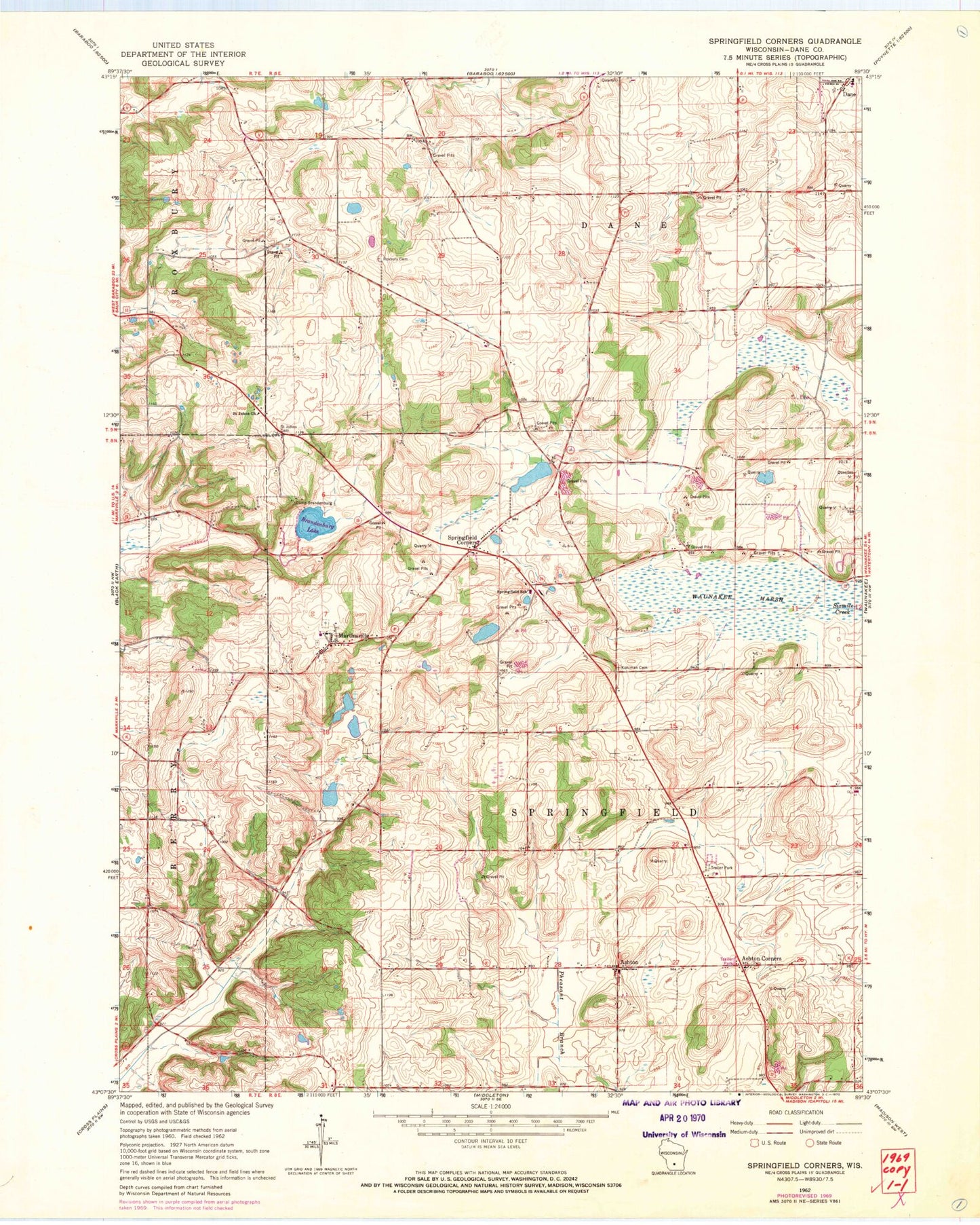
Classic USGS Springfield Corners Wisconsin 7.5'x7.5' Topo Map
Couldn't load pickup availability
Historical USGS topographic quad map of Springfield Corners in the state of Wisconsin. Map scale may vary for some years, but is generally around 1:24,000. Print size is approximately 24" x 27"
This quadrangle is in the following counties: Dane.
The map contains contour lines, roads, rivers, towns, and lakes. Printed on high-quality waterproof paper with UV fade-resistant inks, and shipped rolled.
Contains the following named places: Ashton, Ashton Corners, Barbian Pond, Bicklers Apple Farm, Blessed Trinity Catholic School, Brandenburg Lake, Camp Brandenburg, Carl Buechner Pond, Dahmen Pond, Dane Cemetery, Diedrich Pond, Dons Mobile Manor, Empire Prairies State Natural Area, Kalscheur Pond, Koch Prairie, Kohlman Cemetery, Louis Buechner Pond, Lutheran Hill, Martinsville, Meier Pond, Saint Johns Church, Saint John's Lutheran Cemetery, Saint Martins Catholic Church, Saint Martin's Cemetery, Saint Michael's Cemetery, Saint Peter Catholic School, Saint Peters Catholic Church, Saint Peter's Cemetery, Springfield Corners, Springfield Pond, Springfield School, Town of Springfield, Truehl Cemetery, Wagner Dairy Farm, Waunakee Marsh, Waunakee Marsh State Wildlife Management Area, WMLI-FM (Sauk City), Ziegler Dairy Farms, Ziegler Quarry, ZIP Code: 53529


