
MyTopo
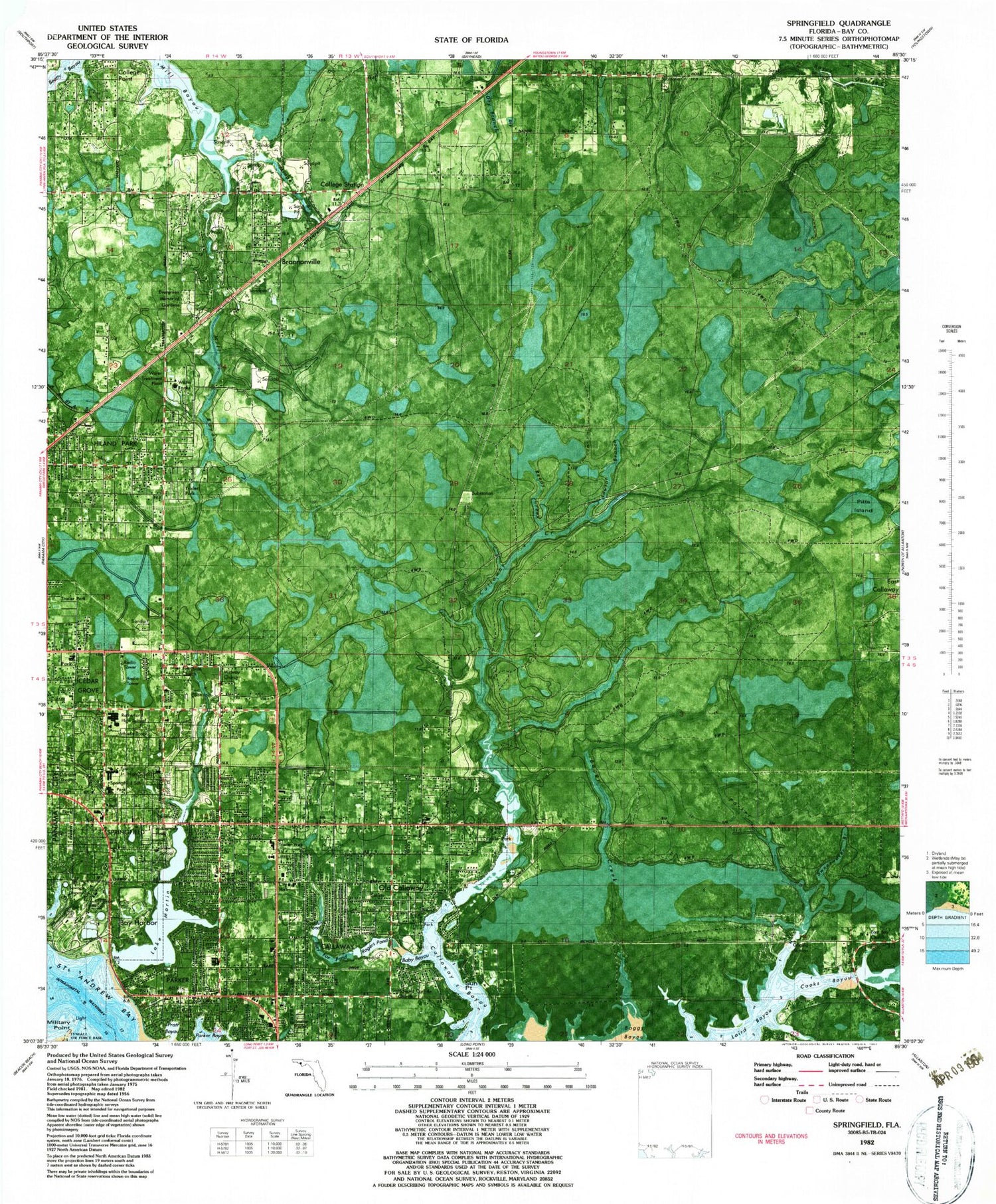
Classic USGS Springfield Florida 7.5'x7.5' Topo Map
Couldn't load pickup availability
Historical USGS topographic quad map of Springfield in the state of Florida. Map scale may vary for some years, but is generally around 1:24,000. Print size is approximately 24" x 27"
This quadrangle is in the following counties: Bay.
The map contains contour lines, roads, rivers, towns, and lakes. Printed on high-quality waterproof paper with UV fade-resistant inks, and shipped rolled.
Contains the following named places: Bay County Jail, Bay County Sheriff's Office, Bay County Sheriff's Office Callaway Station, Bay Harbor, Bayou George Church, Boggy Creek, Brannonville, Brannonville Baptist Church, Callaway, Callaway Assembly of God Church, Callaway Creek, Callaway Fire Department, Cedar Grove Elementary School, Chemical Addiction Recovery Effort Center, Cherry Hill Church of God of Prophecy, City of Callaway, City of Parker, City of Springfield, College Station, Cooks Bayou, East Bay Fire Department Station 22, Evergreen Memorial Gardens, Everitt Middle School, Florida Highway Patrol Troop A, Gulf Coast Helicopters Heliport, Hiland Park Census Designated Place, Hiland Park Fire Department, Lake Martin, Lawton Branch, Military Point, Minge Branch, Oak Hill Community Hospital, Old Callaway, Panama City Division, Panama City Police Department, Parker, Parker Branch, Parker Elementary School, Parker Fire Department, Parker Point, Pitts Island, Pratt Bayou, Reedy Creek, Saint Andrews Shopping Center, Shaw School, Southwood Shopping Center, Springfield, Springfield Community Church, Springfield Fire Department, Springfield Plaza, Springfield Police Department, Sun Point, Sweetwater Branch, Town of Cedar Grove, WDLP, WGNE-AM (Panama City), WLTG-AM (Panama City), WRBA-FM (Springfield), WYOO-FM (Springfield), ZIP Code: 32404


