MyTopo
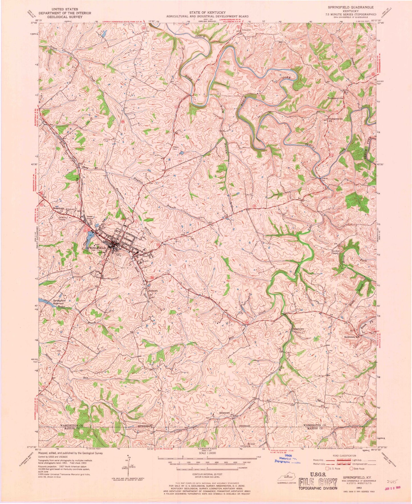
Classic USGS Springfield Kentucky 7.5'x7.5' Topo Map
Couldn't load pickup availability
Historical USGS topographic quad map of Springfield in the state of Kentucky. Map scale may vary for some years, but is generally around 1:24,000. Print size is approximately 24" x 27"
This quadrangle is in the following counties: Marion, Washington.
The map contains contour lines, roads, rivers, towns, and lakes. Printed on high-quality waterproof paper with UV fade-resistant inks, and shipped rolled.
Contains the following named places: Armory Hill, Arnolds Airport, Barbours Mill Pike, Ben Hardin Historical Marker, Bethlehem Church, Booker Branch, Brady Branch, Briartown, Buck Branch, Cemetery Hill, City of Springfield, Dorseys Mill, Elenores Historical Marker, Elmwood Historical Marker, Fenwick Post Office, Frog Hollow, Hardins Chapel, Haydon Branch, House of History Historical Marker, Jesse Head Historical Marker, Jimtown, John Hunt Morgans Raids Historical Marker, John Pope Historical Marker, Keene Cemetery, Lebanon Springfield Airport-George Hoerter Field, Logan Branch, Lone Star, Maple Grove, Matthew Walton Historical Marker, Mill Creek, Oakland, Pleasant Run, Poorhouse Branch, Rineltown, Saint Dominics Cemetery, Saint Ivos Church, Shay Branch, Simms Post Office, Simstown, Springfield, Springfield - Washington Fire Department, Springfield Division, Springfield Police Department, Springfield Post Office, Sugar Grove, Thompsonville, Thompsonville Baptist Church, Thompsonville Church, Walker Run, Washington County Ambulance Service, Washington County Fire Department, Washington County Sheriff's Office, ZIP Code: 40069


