MyTopo
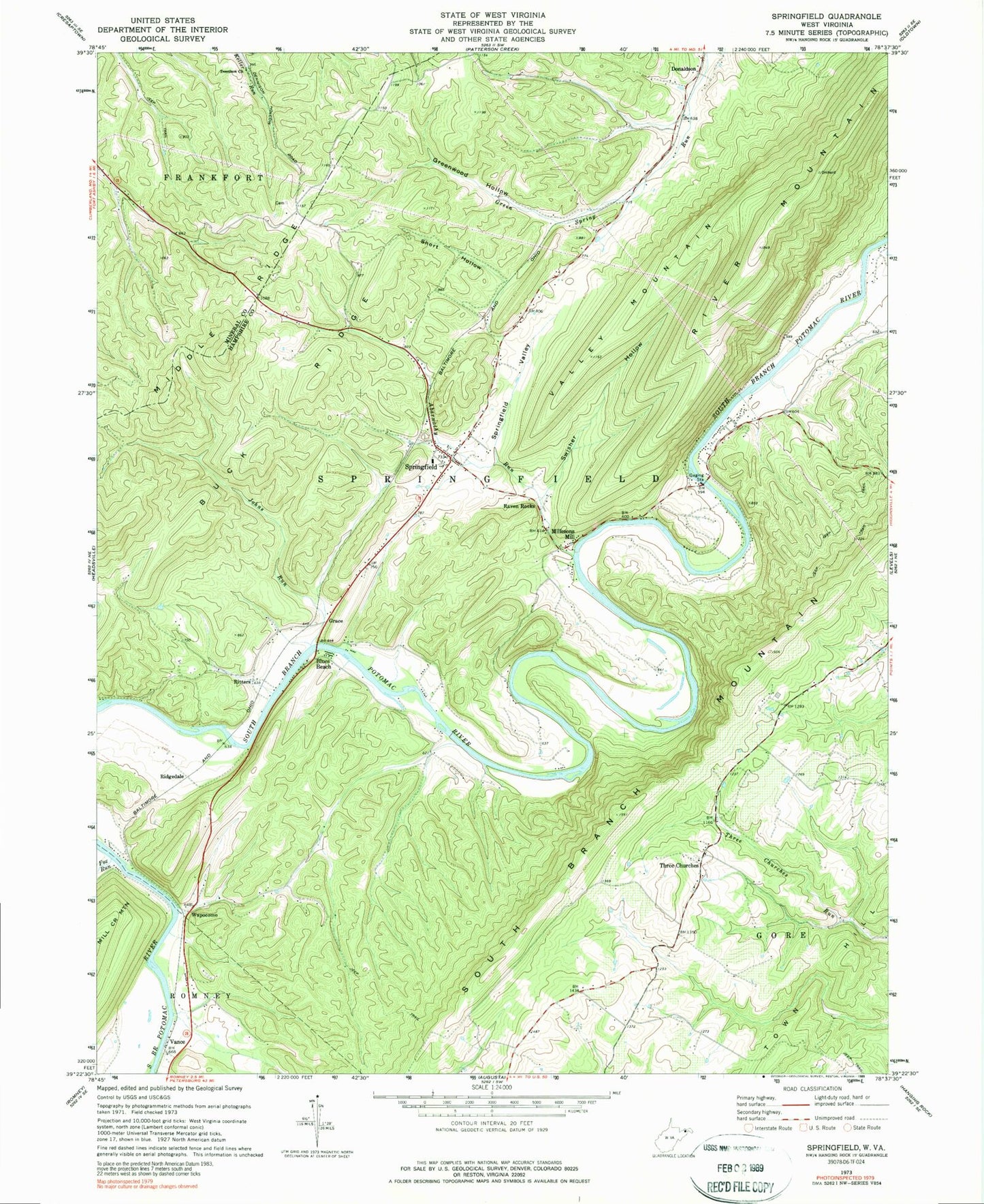
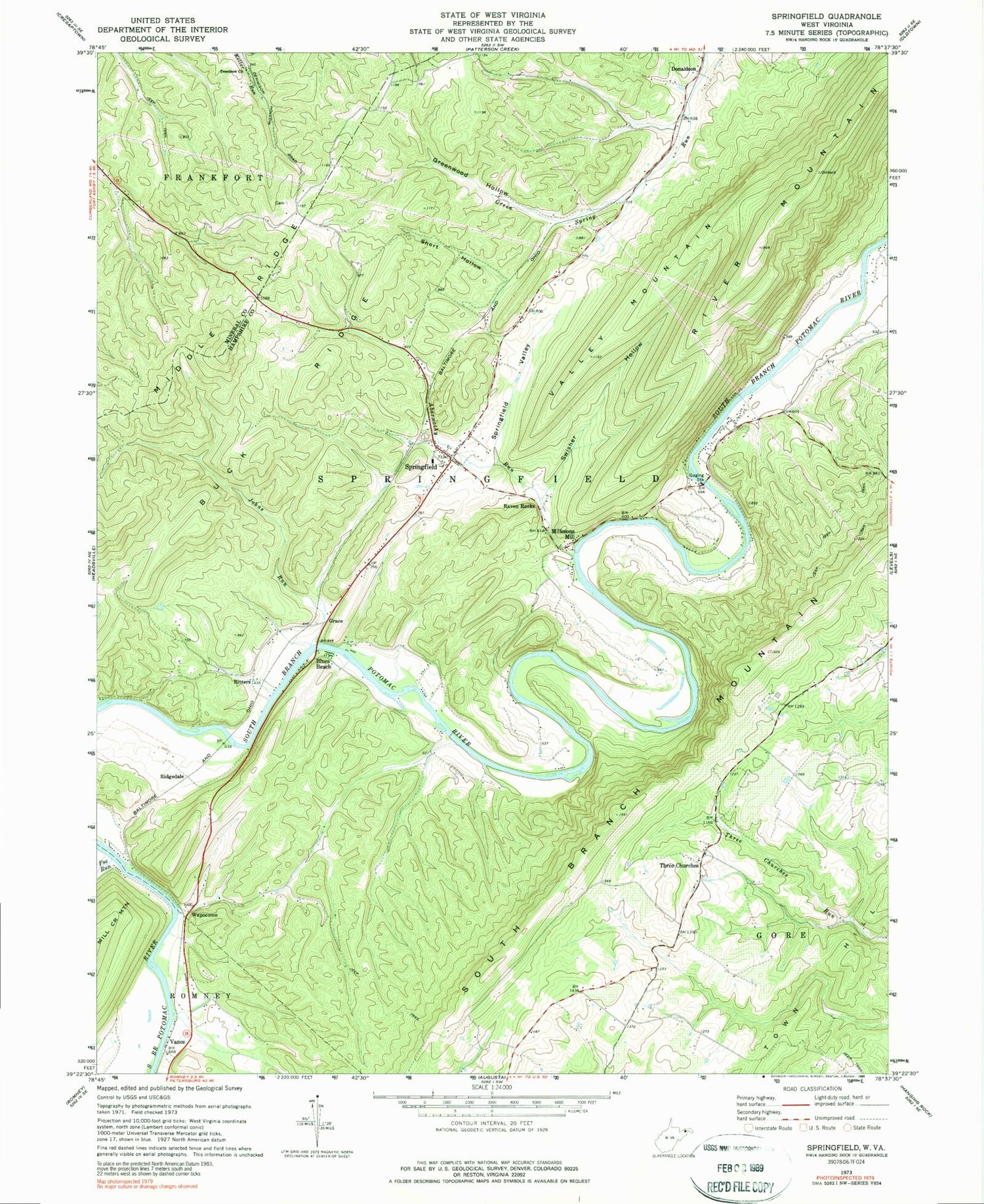
Classic USGS Springfield West Virginia 7.5'x7.5' Topo Map
Couldn't load pickup availability
Historical USGS topographic quad map of Springfield in the states of West Virginia, Virginia. Typical map scale is 1:24,000, but may vary for certain years, if available. Print size: 24" x 27"
This quadrangle is in the following counties: Hampshire, Mineral.
The map contains contour lines, roads, rivers, towns, and lakes. Printed on high-quality waterproof paper with UV fade-resistant inks, and shipped rolled.
Contains the following named places: Abernathy Run, Buck Ridge, Buffalo Creek, Dennison Church, Fox Run, Greenwood Hollow, Johns Run, Middle Ridge, River Mountain, Short Hollow, Springfield, Springfield Valley, Swisher Hollow, Ritters, Vance, Wapocomo, Blues Beach, Donaldson, Grace, Millesons Mill, Raven Rocks, Ridgedale, Three Churches, Valley Mountain, Cornwell School (historical), Dewey School (historical), Donaldson School (historical), Jersey School (historical), Kerns School (historical), Kincade School (historical), Poland School (historical), Taylor School (historical), Huffman Spring, Raven Rock Spring, Springfield Spring, Branch Mountain Methodist Church, Milleson, Mount Bethel Cemetery, Mount Bethel Presbyterian Church, Mount Zion Baptist Church, Springfield - Green Spring Elementary School, Springfield Post Office, Springfield Wildlife Management Area, Three Churches Post Office, Springfield District, Eastview Airport, Springfield Valley Volunteer Fire Department, Springfield Area Rescue Squad, Springfield Census Designated Place, Millesons Mill Bridge, John Blue Bridge, Bethel Methodist Church Cemetery, Branch Mountain United Methodist Church Cemetery, Branch Mountain Cemetery, Springfield Hill Cemetery, Fort Valley Volunteer Fire and Rescue - Substation Company 5


