MyTopo
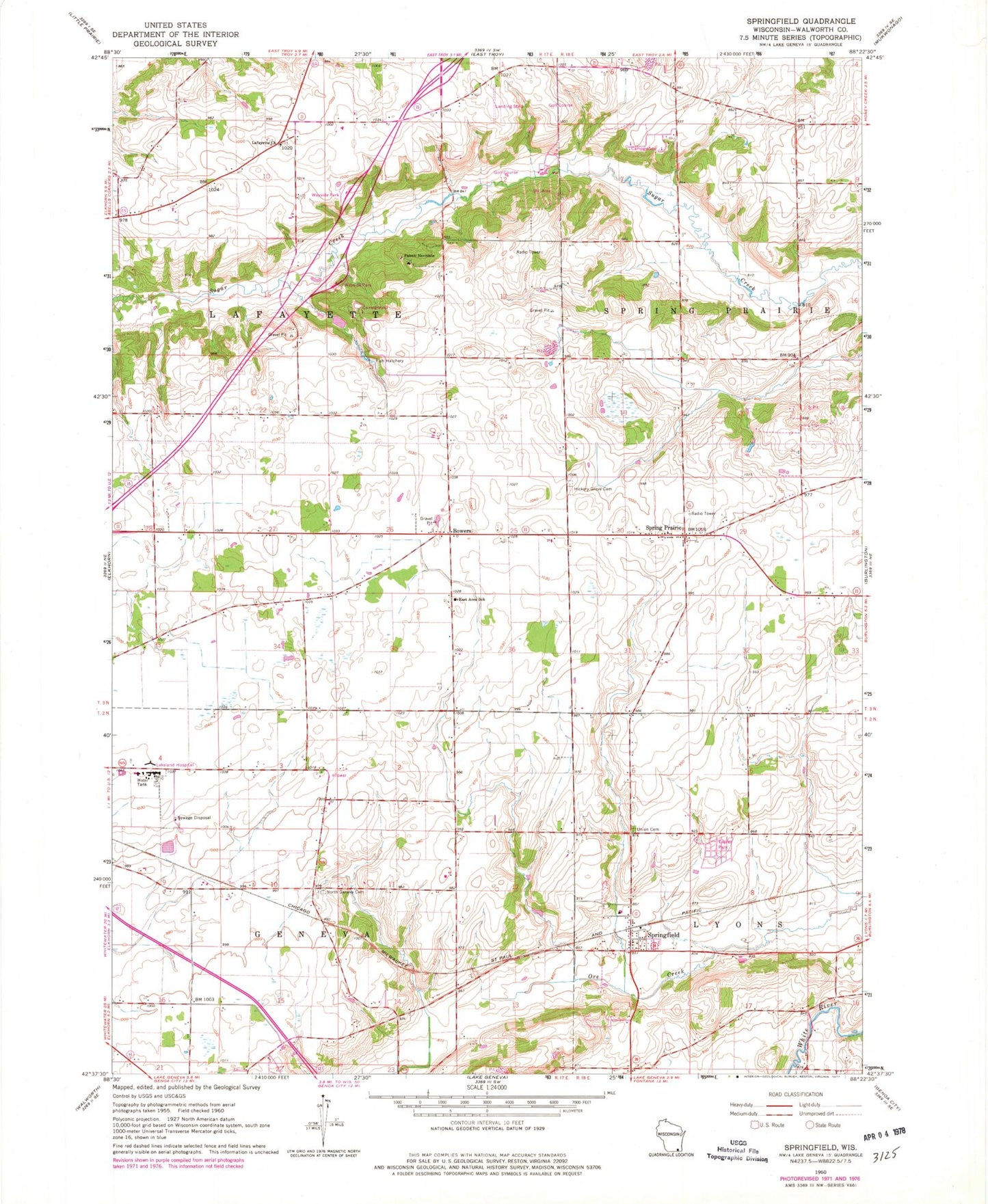
Classic USGS Springfield Wisconsin 7.5'x7.5' Topo Map
Couldn't load pickup availability
Historical USGS topographic quad map of Springfield in the state of Wisconsin. Map scale may vary for some years, but is generally around 1:24,000. Print size is approximately 24" x 27"
This quadrangle is in the following counties: Walworth.
The map contains contour lines, roads, rivers, towns, and lakes. Printed on high-quality waterproof paper with UV fade-resistant inks, and shipped rolled.
Contains the following named places: Aurora Lakeland Medical Center, Barker Strip Airport, Bowers, East Area School, Elmer Droster E5299 Dam, Hickory Grove Cemetery, Lafayette Church, Lakeland Hospital Heliport, Lakeland School, Mount Fuji Airport, North Geneva Cemetery, Palotti Novitiate, Plows & Props Airport, Spring Prairie, Springfield, Springfield Census Designated Place, Springfield Post Office, Terhark Airport, Town of Geneva, Town of Lafayette, Union Cemetery, Walworth County Hospital, Walworth County Jail, Walworth County Sheriff's Office, White Oak Cemetery


