MyTopo
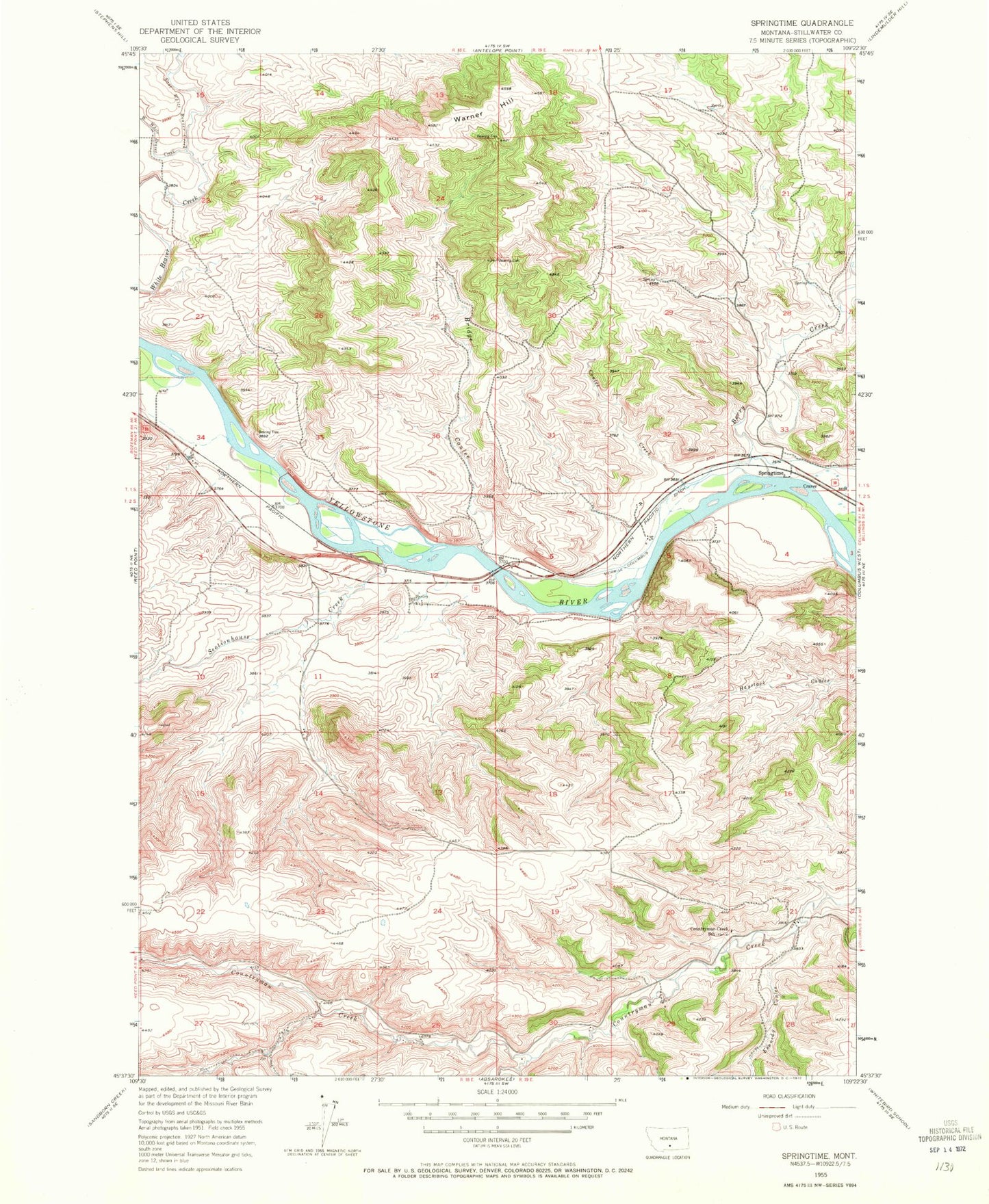
Classic USGS Springtime Montana 7.5'x7.5' Topo Map
Couldn't load pickup availability
Historical USGS topographic quad map of Springtime in the state of Montana. Map scale may vary for some years, but is generally around 1:24,000. Print size is approximately 24" x 27"
This quadrangle is in the following counties: Stillwater.
The map contains contour lines, roads, rivers, towns, and lakes. Printed on high-quality waterproof paper with UV fade-resistant inks, and shipped rolled.
Contains the following named places: Berry Creek, Bridge Coulee, Coulee Creek, Countryman Creek School, Craver, East White Beaver Creek, Kennedy Coulee, Merrill Post Office, Oneida, Sectionhouse Creek, Springtime, Springtime Number 1 Dam, Springtime Post Office, Stillwater County, Warner Hill, West White Beaver Creek, Whistle Creek