MyTopo
Classic USGS Springtown SE Texas 7.5'x7.5' Topo Map
Couldn't load pickup availability
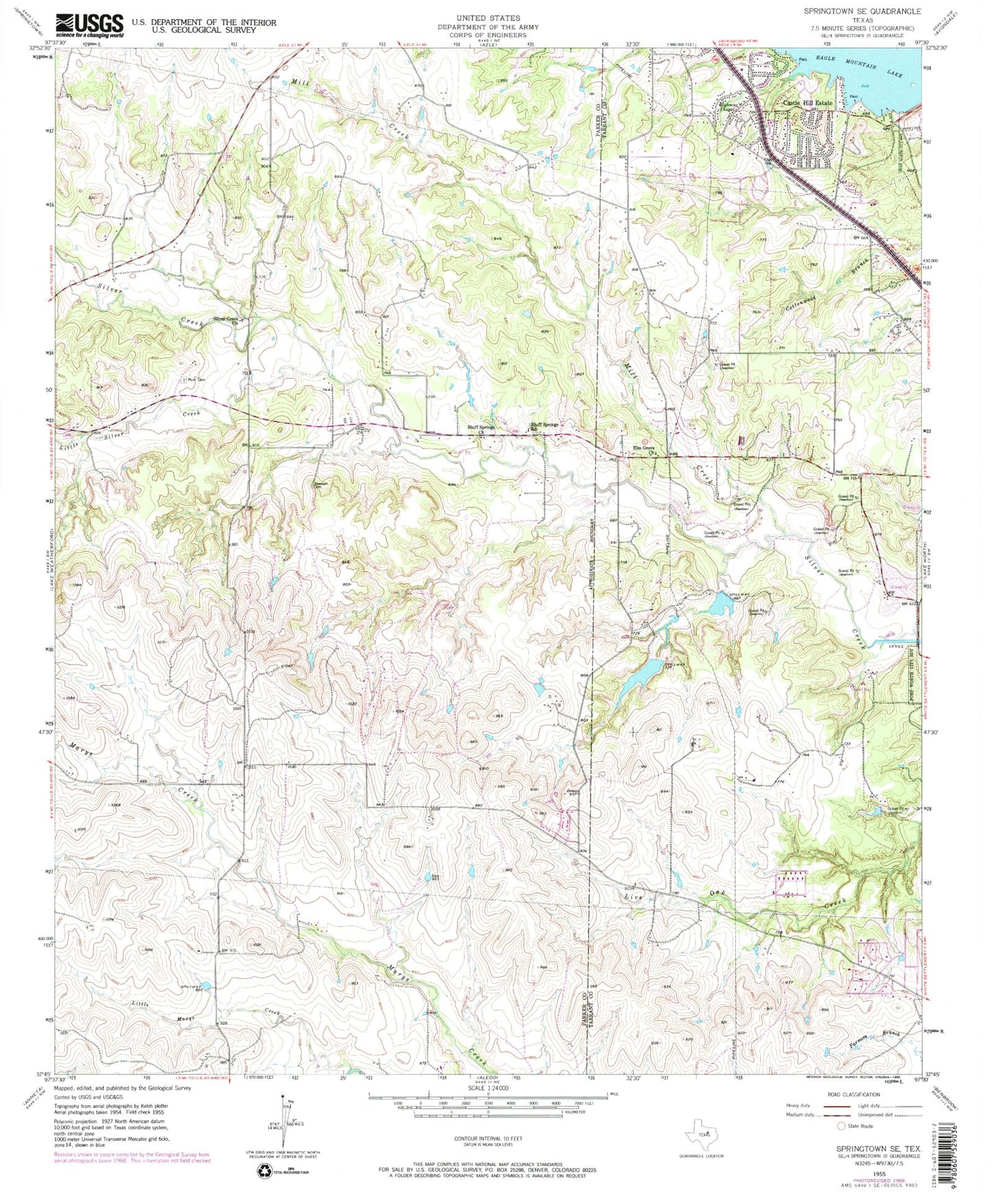
Historical USGS topographic quad map of Springtown SE in the state of Texas. Map scale may vary for some years, but is generally around 1:24,000. Print size is approximately 24" x 27"
This quadrangle is in the following counties: Parker, Tarrant.
The map contains contour lines, roads, rivers, towns, and lakes. Printed on high-quality waterproof paper with UV fade-resistant inks, and shipped rolled.
Contains the following named places: Aledo Volunteer Fire Department Station 2, Beggs Ranch-Aledo Airport, Blue Haze Elementary School, Bluff Springs Church, Bluff Springs School, Castle Hill Estate, Eagle Heights Elementary School, Elm Grove Church, Fire Station Number 33, First Baptist Church of Castle Hills, Flying Oaks Airport, Fort Worth City Park, Fort Worth Fire Department Station 32, Haywire Lake Number 1, Haywire Lake Number 1 Dam, Haywire Lake Number 2, Haywire Lake Number 2 Dam, Highway Chapel, Little Silver Creek, Log Cabin Airport, Mary Springs, Mill Creek, Newsom Cemetery, North Texas Emergency Medical Service, Silver Creek Church, Silvercreek United Methodist Church, Spillway Volunteer Fire Department, Tanna Hill Intermediate School, Trinity Baptist Church, Walsh Lake, Walsh Lake Dam, ZIP Code: 76108


