MyTopo
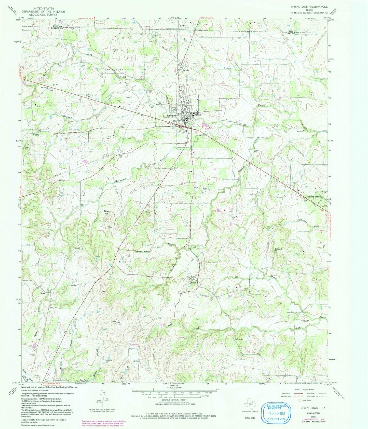
Classic USGS Springtown Texas 7.5'x7.5' Topo Map
Couldn't load pickup availability
Historical USGS topographic quad map of Springtown in the state of Texas. Map scale may vary for some years, but is generally around 1:24,000. Print size is approximately 24" x 27"
This quadrangle is in the following counties: Parker, Wise.
The map contains contour lines, roads, rivers, towns, and lakes. Printed on high-quality waterproof paper with UV fade-resistant inks, and shipped rolled.
Contains the following named places: Abundant Life Church of God, Browders Creek, Bud Clark Cemetery, Burkhalter Cemetery, Carter, Carter Census Designated Place, City of Springtown, Dry Branch, First Baptist Church, Flying E Ranch Airport, Fundamental Baptist Church, Goshen, Goshen Cemetery, Goshen Creek, Hangmans Hollow, Heritage Museum, Highland Addition, Highland Church, KMQX-FM (Springtown), Koontz Heliport Heliport, Lick Branch, Mill Branch, New Life Family Fellowship Church, Parker County Constable's Office Precinct 1, Porcupine Stadium, Springtown, Springtown Cemetery, Springtown City Hall, Springtown Hinkle Elementary School, Springtown Lipstreu Elementary School, Springtown Oil Field, Springtown Police Department, Springtown Post Office, Springtown Volunteer Fire Department, Springtown Volunteer Fire Department Station 2, Springtown Watson Elementary School, Springtown-Reno Division, Tater Hill, Underline Ok Airport, Veal Station, Veal Station Cemetery, Woody Creek, Woody Miller Cemetery, Yale Academic Center, ZIP Code: 76082