MyTopo
Classic USGS Springview NW Nebraska 7.5'x7.5' Topo Map
Regular price
$16.95
Regular price
Sale price
$16.95
Unit price
per
Couldn't load pickup availability
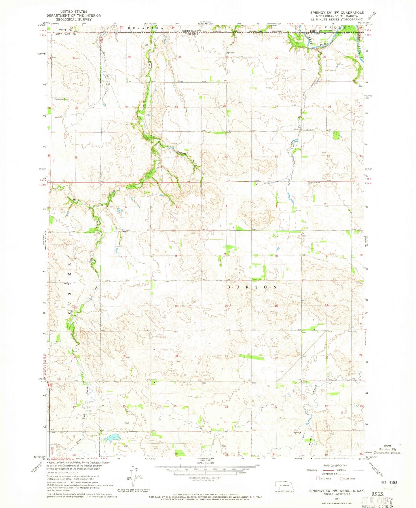
Historical USGS topographic quad map of Springview NW in the states of Nebraska, South Dakota. Map scale may vary for some years, but is generally around 1:24,000. Print size is approximately 24" x 27"
This quadrangle is in the following counties: Keya Paha, Tripp.
The map contains contour lines, roads, rivers, towns, and lakes. Printed on high-quality waterproof paper with UV fade-resistant inks, and shipped rolled.
Contains the following named places: Bloomstrom Dam, Bloomstrom Reservoir, Deckers Gulch, Dubel Bridge, East Holt Creek, Holt Creek, Jordan Creek, Jordan School, Jordan Valley Cemetery, Kappelman Dam, Kappleman Reservoir, Keya Paha County, Sloan Dam, Sloan Reservoir, West Enterprise Cemetery