MyTopo
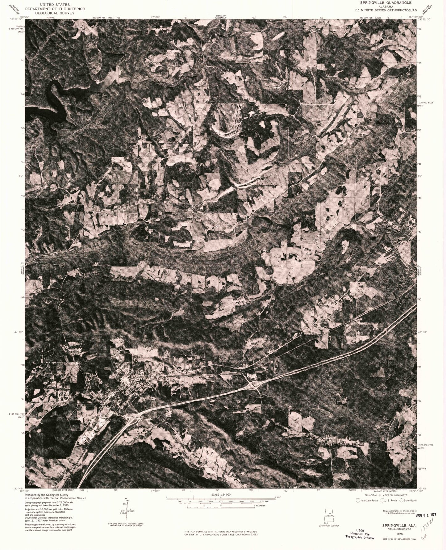
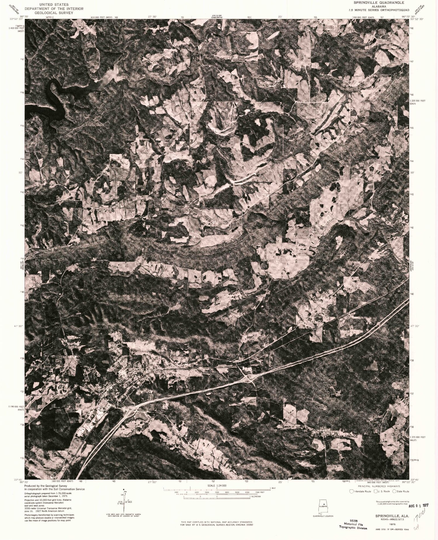
Classic USGS Springville Alabama 7.5'x7.5' Topo Map
Couldn't load pickup availability
Historical USGS topographic quad map of Springville in the state of Alabama. Map scale may vary for some years, but is generally around 1:24,000. Print size is approximately 24" x 27"
This quadrangle is in the following counties: Blount, St. Clair.
The map contains contour lines, roads, rivers, towns, and lakes. Printed on high-quality waterproof paper with UV fade-resistant inks, and shipped rolled.
Contains the following named places: Banks Chapel, Box Creek, Buck Ridge, Burch Dam, Burch Lake, Canoe Lake, Cedar Grove School, Cherokee Farm, City of Springville, Community Church, Davis Lake Volunteer Fire Department, Difficulty Branch, Elam Dam, Elam Lake, Fall Branch, Fuller Cemetery, Goodwins Mill, Harbert Dam, Harbert Lake, Harvey Mine, Herrings Big Spring, Hickman Dam, Hickman Lake, Holly Springs, Holly Springs Church, Holly Springs Volunteer Fire Department, Hooper Cemetery, Hooper Gap, Howell Dam, Jones Chapel Missionary Baptist Church, Jones Mountain, Mardis Cemetery, McClendon, McClendon Gap, Middle Ridge, Montgomery School, Mountain View Lake, New Hope Church, Oak Grove Church, Pleasant Hill Volunteer Fire Department, Pleasant Hills Church, Red Hill Church, Rehoba School, Saint Clair Springs, Smiths Ferry, Spring Lake College, Springville, Springville Elementary School, Springville Fire and Rescue Station 1, Springville High School, Springville Police Department, Springville Post Office, Straight Mountain Church, Walker Gap, Woodard Creek, ZIP Code: 35146