MyTopo
Classic USGS Springville Indiana 7.5'x7.5' Topo Map
Couldn't load pickup availability
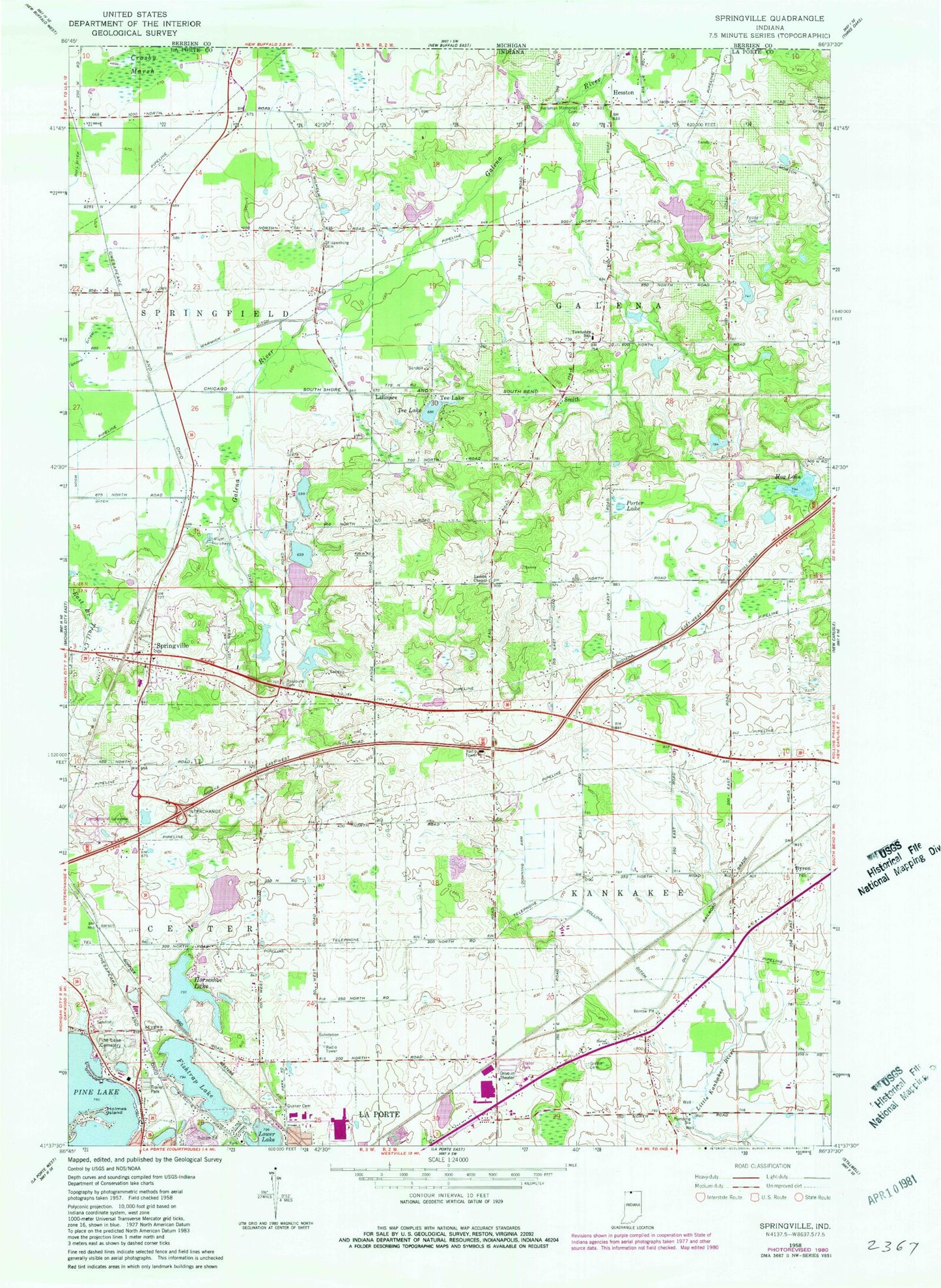
Historical USGS topographic quad map of Springville in the state of Indiana. Map scale may vary for some years, but is generally around 1:24,000. Print size is approximately 24" x 27"
This quadrangle is in the following counties: LaPorte.
The map contains contour lines, roads, rivers, towns, and lakes. Printed on high-quality waterproof paper with UV fade-resistant inks, and shipped rolled.
Contains the following named places: Collins Ditch, Downing Arm, Fishtrap Lake, Foster Cemetery, Galena Elementary School, Hog Lake, Holmes Island, Horseshoe Lake, La Porte Fire Department Station 2, Lalimere, Lambs Chapel, Lower Lake, Miller Griffin Cemetery, Moon Ditch, Pine Lake Cemetery, Porter Lake, Quaker Cemetery, Rossburg Cemetery, Shippeeburg Cemetery, Smith, Springville, Tee Lake, Township of Galena, Township of Kankakee, Warwick Ditch