MyTopo
Classic USGS Springville New York 7.5'x7.5' Topo Map
Couldn't load pickup availability
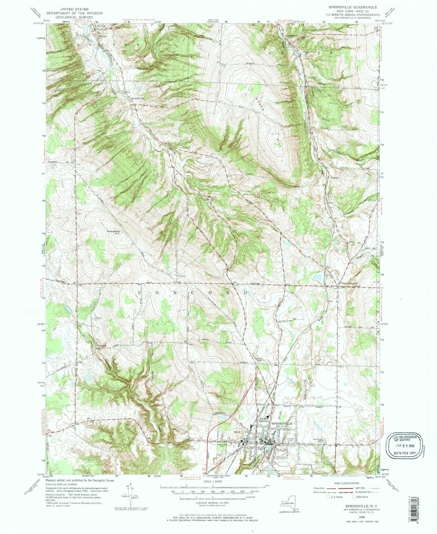
Historical USGS topographic quad map of Springville in the state of New York. Typical map scale is 1:24,000, but may vary for certain years, if available. Print size: 24" x 27"
This quadrangle is in the following counties: Cattaraugus, Erie.
The map contains contour lines, roads, rivers, towns, and lakes. Printed on high-quality waterproof paper with UV fade-resistant inks, and shipped rolled.
Contains the following named places: Landon Brook, Bertrand Chaffee Hospital, Cobble Hill Cemetery, Concord, Concord Cemetery, Crump Brook, East Concord, Fairview Cemetery, Fowlerville, Glenwood, Graff Brook, Griffith Institute High School, Maplewood Cemetery, Faith Church Cemetery, Sibley Cemetery, Spencer Brook, Sprague Brook, Springville, Townsend Hill, Hayes Hollow, South Hill, Footes, Bertrand Chaffee Hospital Heliport, Ciszak Airport (historical), Town of Concord, Village of Springville, Halls Tree Farm, Hills Christmas Tree Farm, Watermans Greenhouse And Garden Center, Wendels Poultry Farm, Griffith Institute Middle School, East Concord Volunteer Fire Department, Springville Volunteer Fire Company Station 1, Millers Dairy Farms, East Concord Post Office, Glenwood Post Office, Springville Post Office, League for the Handicapped Preschool Learning Center, Saint Aloysius Regional School, Springville Elementary School, Springville Assembly of God Church, First Presbyterian Church, Springville First United Methodist Church, Kingdom Hall of Jehovah's Witnesses, New Life Fellowship Church, Our Saviour Lutheran Church, Saint Aloysius Roman Catholic Church, Saint Paul's Episcopal Church, Salem Lutheran Church, Concord Crest Golf Course, Concord Public Library, Fiddlers Green Manor Nursing Home, Springville Volunteer Fire Department, Evergreen Cemetery


