MyTopo
Classic USGS Springwater New York 7.5'x7.5' Topo Map
Couldn't load pickup availability
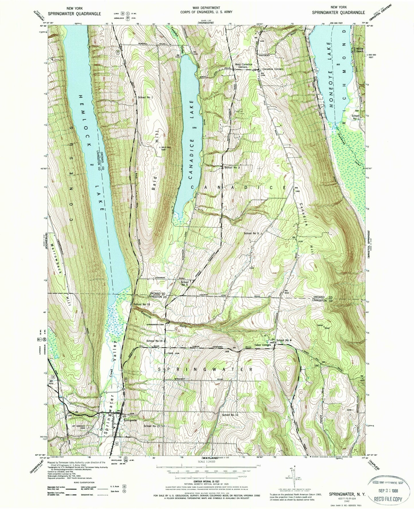
Historical USGS topographic quad map of Springwater in the state of New York. Typical map scale is 1:24,000, but may vary for certain years, if available. Print size: 24" x 27"
This quadrangle is in the following counties: Livingston, Ontario.
The map contains contour lines, roads, rivers, towns, and lakes. Printed on high-quality waterproof paper with UV fade-resistant inks, and shipped rolled.
Contains the following named places: Bald Hill, Canadice Hill, Canadice Lake, Evergreen Cemetery, Ford Cemetery, Green Gully, Hemlock Lake, Limekiln Creek, Mount Vernon Evergreen Cemetery, Reynolds Gully, Springwater, Springwater Creek, Springwater Valley, Tabor Corners, West Canadice Corners, Briggs Gully, Honeoye Inlet, Marrowback Hill, Willow Beach, Canadice Corners, School Number 1 (historical), School Number 1 (historical), School Number 10 (historical), School Number 13 (historical), School Number 19 (historical), School Number 21 (historical), School Number 3 (historical), School Number 4 (historical), School Number 5 (historical), School Number 6 (historical), Town of Canadice, Town of Springwater, Canadice Corners Cemetery, Tibbals Cemetery, Fort Farm Cemetery, Capron Cemetery, Eagle Crest Vineyards, Springwater Census Designated Place, Springwater Post Office, Holiday Hill Campground, Springwater Town Hall, Springwater Town Wastewater Treatment Facility, Springwater Ambulance Volunteer Emergency Services, Springwater Fire Department Incorporated


