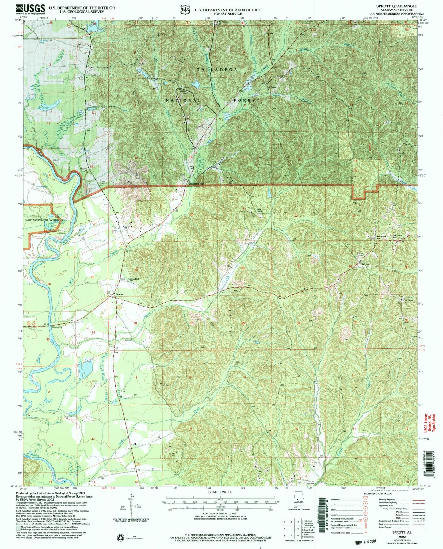
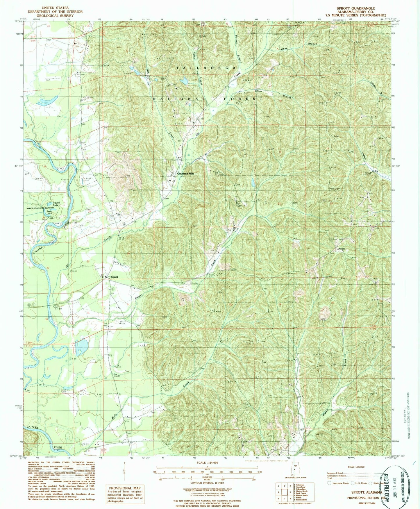
MyTopo
Classic USGS Sprott Alabama 7.5'x7.5' Topo Map
Couldn't load pickup availability
Historical USGS topographic quad map of Sprott in the state of Alabama. Map scale may vary for some years, but is generally around 1:24,000. Print size is approximately 24" x 27"
This quadrangle is in the following counties: Perry.
The map contains contour lines, roads, rivers, towns, and lakes. Printed on high-quality waterproof paper with UV fade-resistant inks, and shipped rolled.
Contains the following named places: Athahatchee, Barnett Branch, Barron - Wells Cemetery, Camp Branch, Cleveland Mills, Cleveland Mills Church, Concord Baptist Church, Daniel Cemetery, Dobyne - Haggard Cemetery, Ephesus Baptist Church, Farrer Cemetery, Ivey Cemetery, Iveys Chapel, Iveys Chapel Cemetery, Little Creek, Middle Lake, Mill Creek, Mount Pisgah Church, Mount Pleasant Freewill Baptist Church, New Hope Methodist Church, Oak Grove Church, Oak Grove School, Osborn, Osburn Cemetery, Perry Lake, Provewell Church, Provewell School, Round Lake, Sprott, Sprott Division, Sprott Volunteer Fire Department, Stone Branch, Swann Cemetery, Theo, Warren Academy, White Branch, White Cemetery