MyTopo
Classic USGS Spruce Brook Maine 7.5'x7.5' Topo Map
Regular price
$16.95
Regular price
Sale price
$16.95
Unit price
per
Couldn't load pickup availability
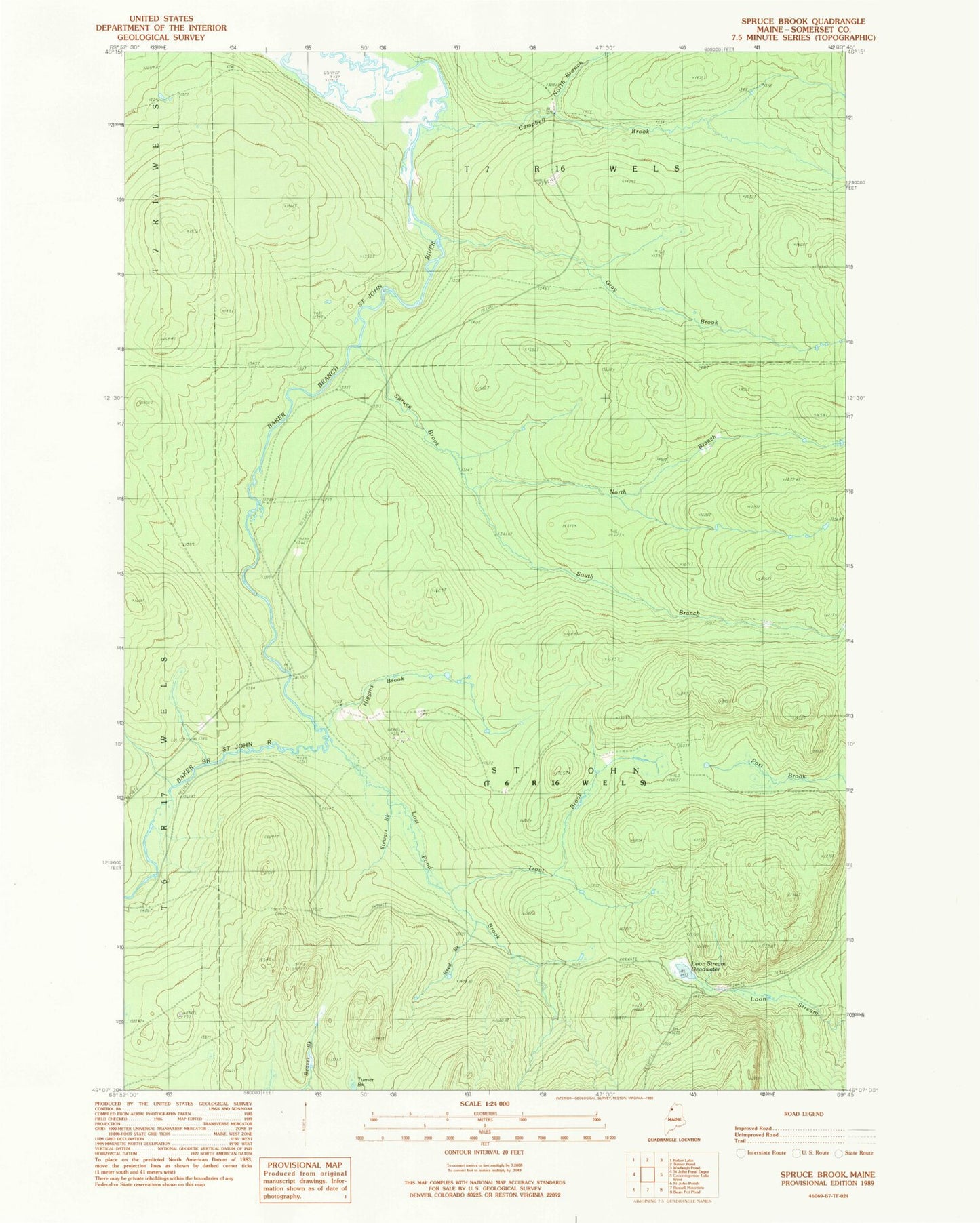
Historical USGS topographic quad map of Spruce Brook in the state of Maine. Typical map scale is 1:24,000, but may vary for certain years, if available. Print size: 24" x 27"
This quadrangle is in the following counties: Somerset.
The map contains contour lines, roads, rivers, towns, and lakes. Printed on high-quality waterproof paper with UV fade-resistant inks, and shipped rolled.
Contains the following named places: Campbell Brook, Gray Brook, Higgins Brook, Loon Stream Deadwater, Lost Pond Brook, North Branch Campbell Brook, North Branch Spruce Brook, Reed Brook, South Branch Spruce Brook, Spruce Brook, Stewart Brook, Trout Brook, Turner Brook, Saint John Township