MyTopo
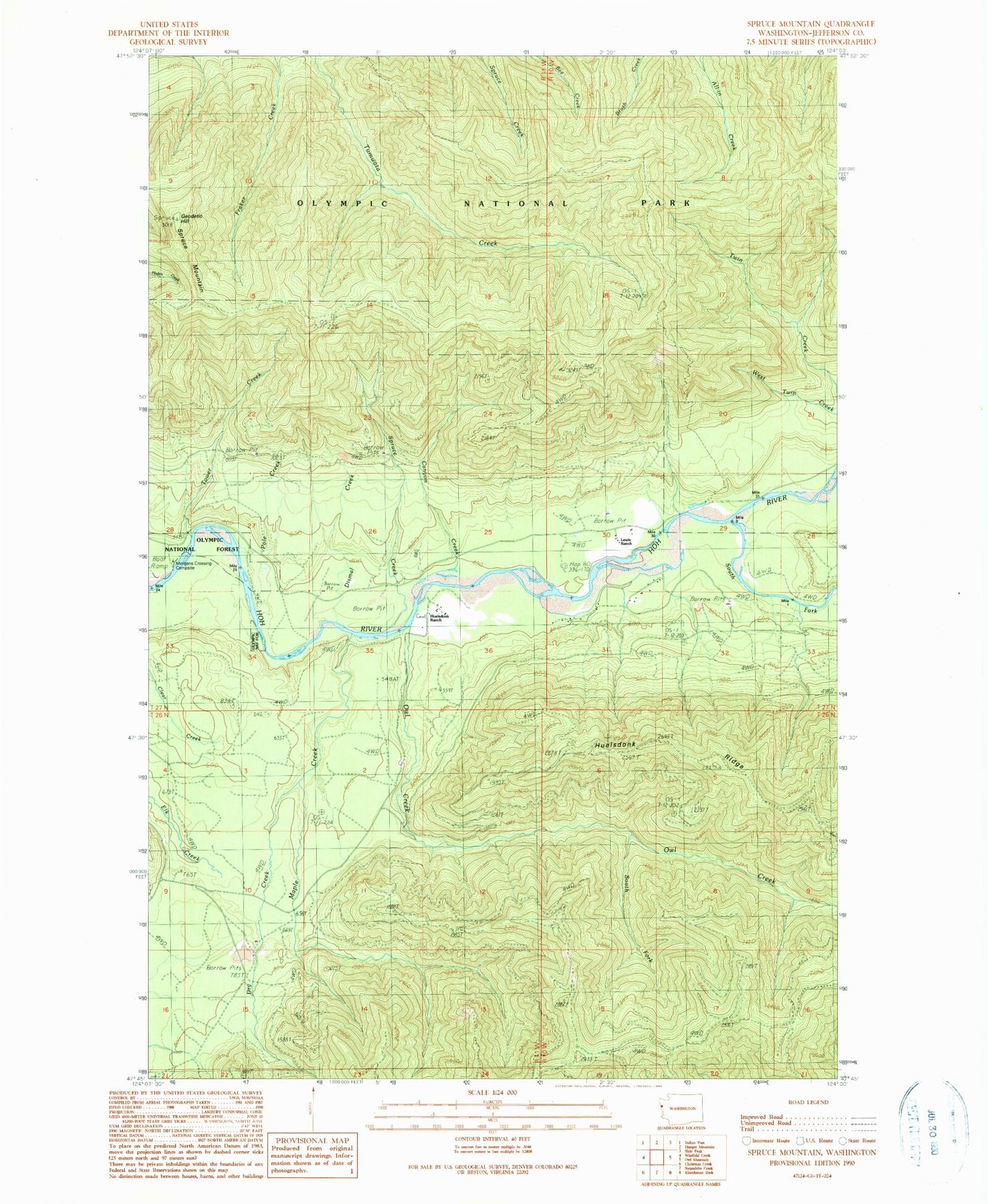
Classic USGS Spruce Mountain Washington 7.5'x7.5' Topo Map
Couldn't load pickup availability
Historical USGS topographic quad map of Spruce Mountain in the state of Washington. Map scale may vary for some years, but is generally around 1:24,000. Print size is approximately 24" x 27"
This quadrangle is in the following counties: Jefferson.
The map contains contour lines, roads, rivers, towns, and lakes. Printed on high-quality waterproof paper with UV fade-resistant inks, and shipped rolled.
Contains the following named places: Bogachiel-Hoh Trail, Canyon Creek, Dismal Creek, Dry Creek, Geodetic Hill, Huelsdonk Bridge, Huelsdonk Campground, Huelsdonk Ranch, Lewis Ranch, Maple Creek, Owl Creek, Peak Six, Pole Creek, South Fork Hoh River, South Fork Owl Creek, Spruce Creek, Spruce Mountain, Tower Creek