
MyTopo
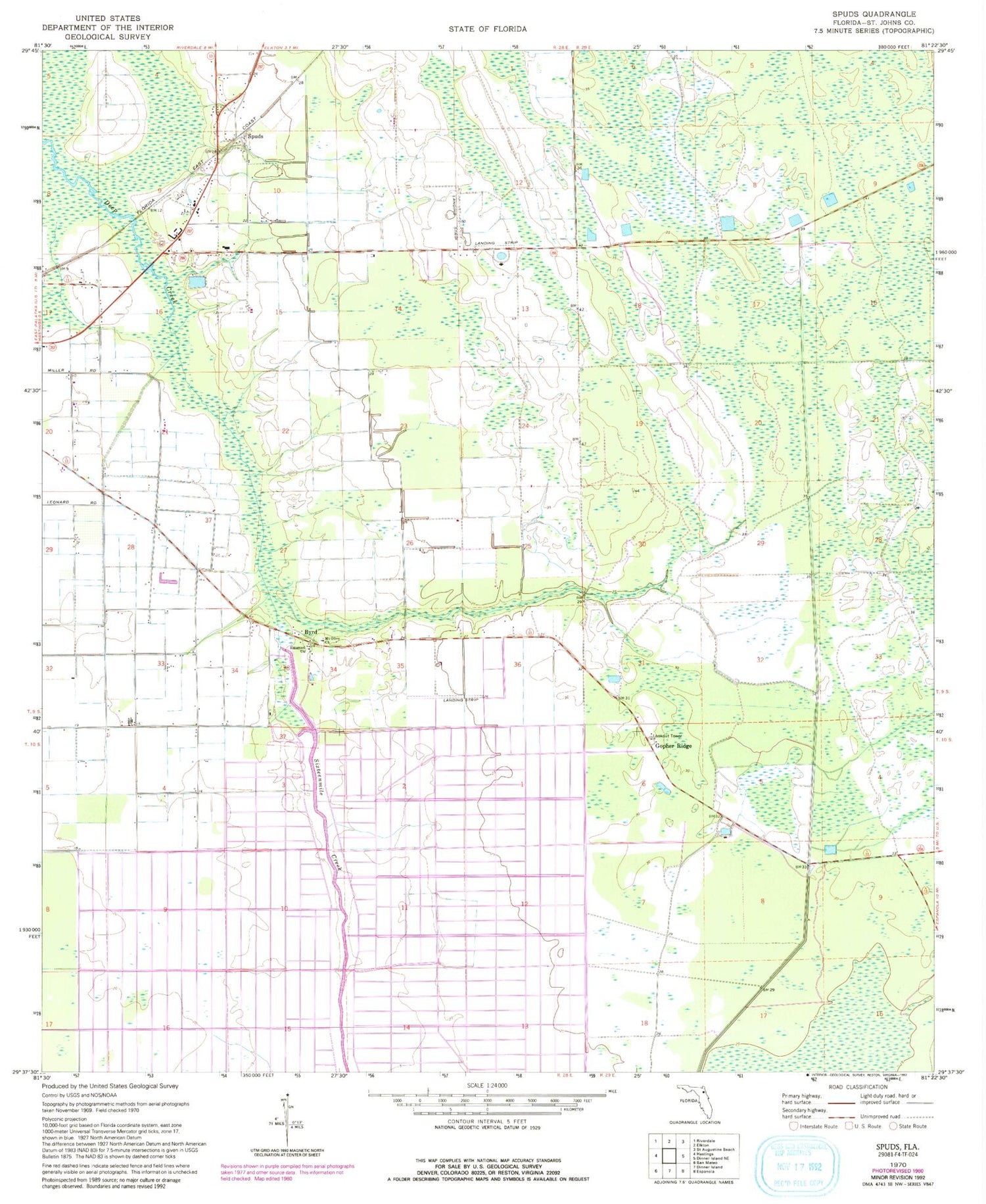
Classic USGS Spuds Florida 7.5'x7.5' Topo Map
Couldn't load pickup availability
Historical USGS topographic quad map of Spuds in the state of Florida. Map scale may vary for some years, but is generally around 1:24,000. Print size is approximately 24" x 27"
This quadrangle is in the following counties: Flagler, St. Johns.
The map contains contour lines, roads, rivers, towns, and lakes. Printed on high-quality waterproof paper with UV fade-resistant inks, and shipped rolled.
Contains the following named places: Big Fish Tail Swamp, Byrd, Emanuel Church, Flagler Estates Census Designated Place, Frontier Airport, Gopher Ridge, Gopher Ridge Tower, Hastings Census Designated Place, Hastings Division, Hutson Airfield, Mount Olive Church, Saint Johns County Fire Rescue Station 8 - Hastings, San Buenaventura, Sixteenmile Creek, Spuds, Tater Farms Strip, ZIP Code: 32145


