MyTopo
Classic USGS Spur Peak Washington 7.5'x7.5' Topo Map
Regular price
$16.95
Regular price
Sale price
$16.95
Unit price
per
Couldn't load pickup availability
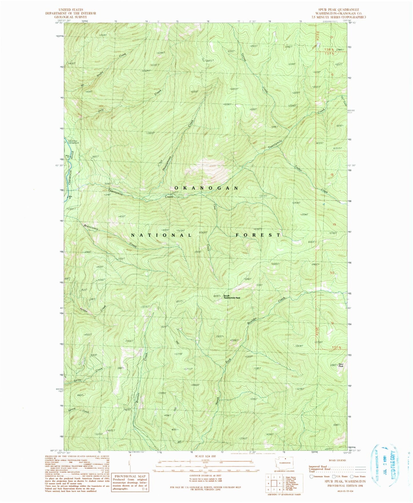
Historical USGS topographic quad map of Spur Peak in the state of Washington. Typical map scale is 1:24,000, but may vary for certain years, if available. Print size: 24" x 27"
This quadrangle is in the following counties: Okanogan.
The map contains contour lines, roads, rivers, towns, and lakes. Printed on high-quality waterproof paper with UV fade-resistant inks, and shipped rolled.
Contains the following named places: Claw Creek, Fly Creek, Honeymoon Creek, July Creek, South Twentymile Peak, South Twentymile Trail, Spur Peak, Timber Creek, Twentymile Creek, Twentymile Trail, Yarrow Creek, Okanogan National Forest, North Fork Twentymile Trail, North Fork Twentymile Trail