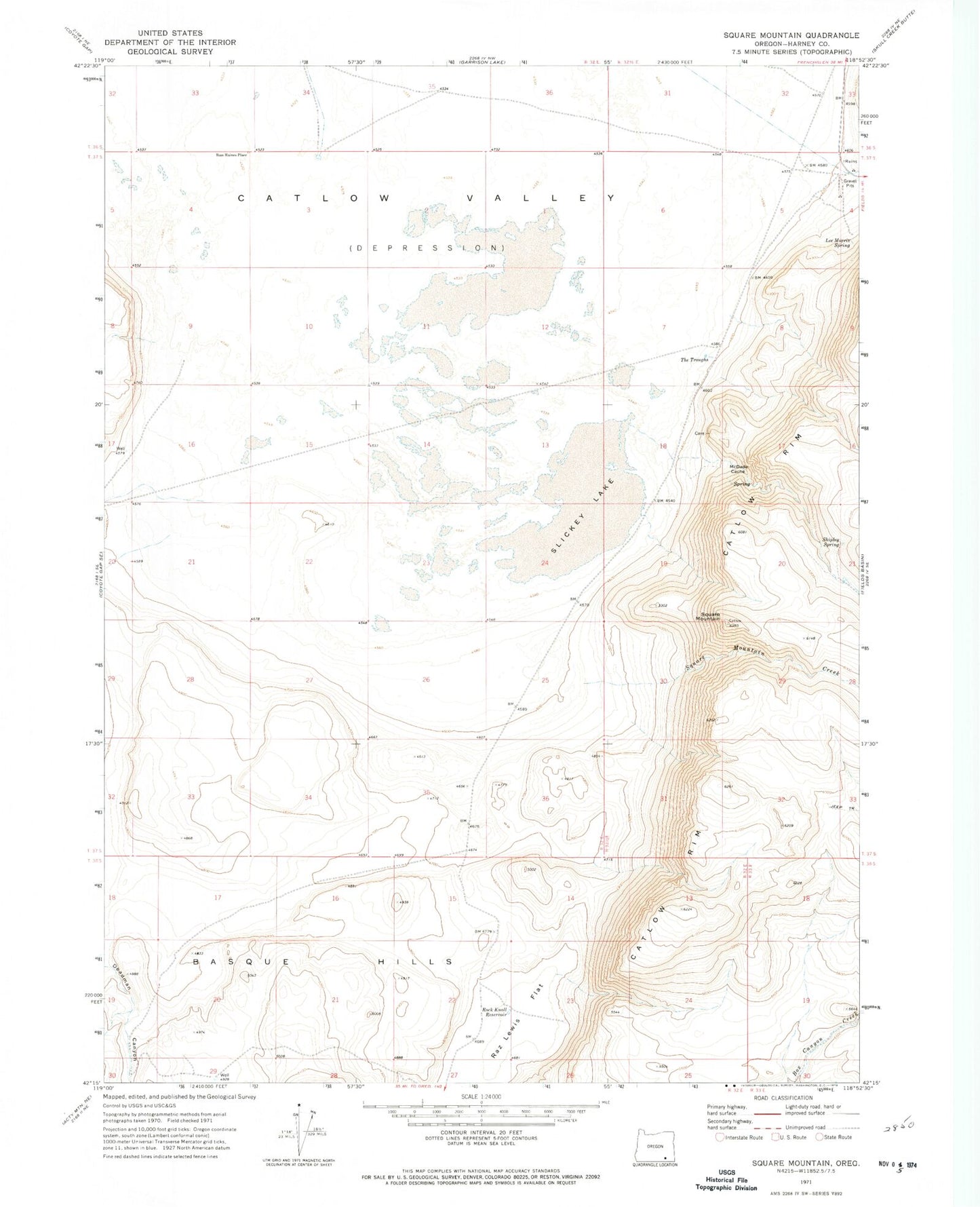
MyTopo
Classic USGS Square Mountain Oregon 7.5'x7.5' Topo Map
Regular price
$16.95
Regular price
Sale price
$16.95
Unit price
per
Couldn't load pickup availability
Historical USGS topographic quad map of Square Mountain in the state of Oregon. Map scale may vary for some years, but is generally around 1:24,000. Print size is approximately 24" x 27"
This quadrangle is in the following counties: Harney.
The map contains contour lines, roads, rivers, towns, and lakes. Printed on high-quality waterproof paper with UV fade-resistant inks, and shipped rolled.
Contains the following named places: Bass Haines Place, Catlow Spring, Chukar Guzzler, Early Pass Well, Lee Morris Spring, Long Hollow, McDade Cache, Pueblo Reservoir, Raz Lewis Flat, Rock Knoll Reservoir, Shipley Spring, Slickey Lake, Square Mountain, Square Mountain Creek, The Troughs