MyTopo
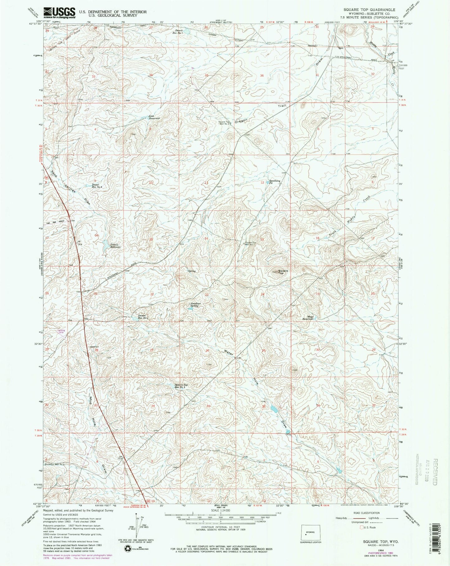
Classic USGS Square Top Wyoming 7.5'x7.5' Topo Map
Couldn't load pickup availability
Historical USGS topographic quad map of Square Top in the state of Wyoming. Map scale may vary for some years, but is generally around 1:24,000. Print size is approximately 24" x 27"
This quadrangle is in the following counties: Sublette.
The map contains contour lines, roads, rivers, towns, and lakes. Printed on high-quality waterproof paper with UV fade-resistant inks, and shipped rolled.
Contains the following named places: Antelope Spring, Boulder Division, Desert Reservoir Number 1, Desert Reservoir Number 4, Desert Reservoir Number 6, Emigrant Trail, Lost Reservoir, Mayo Reservoir, South Muddy Creek, Speedway Pit, Square Top, Square Top Reservoir Number 6, Square Top Well Number 1, Square Top Well Number 2, Tibbals Reservoir