
MyTopo
Classic USGS Squaw Buttes South Dakota 7.5'x7.5' Topo Map
Regular price
$16.95
Regular price
Sale price
$16.95
Unit price
per
Couldn't load pickup availability
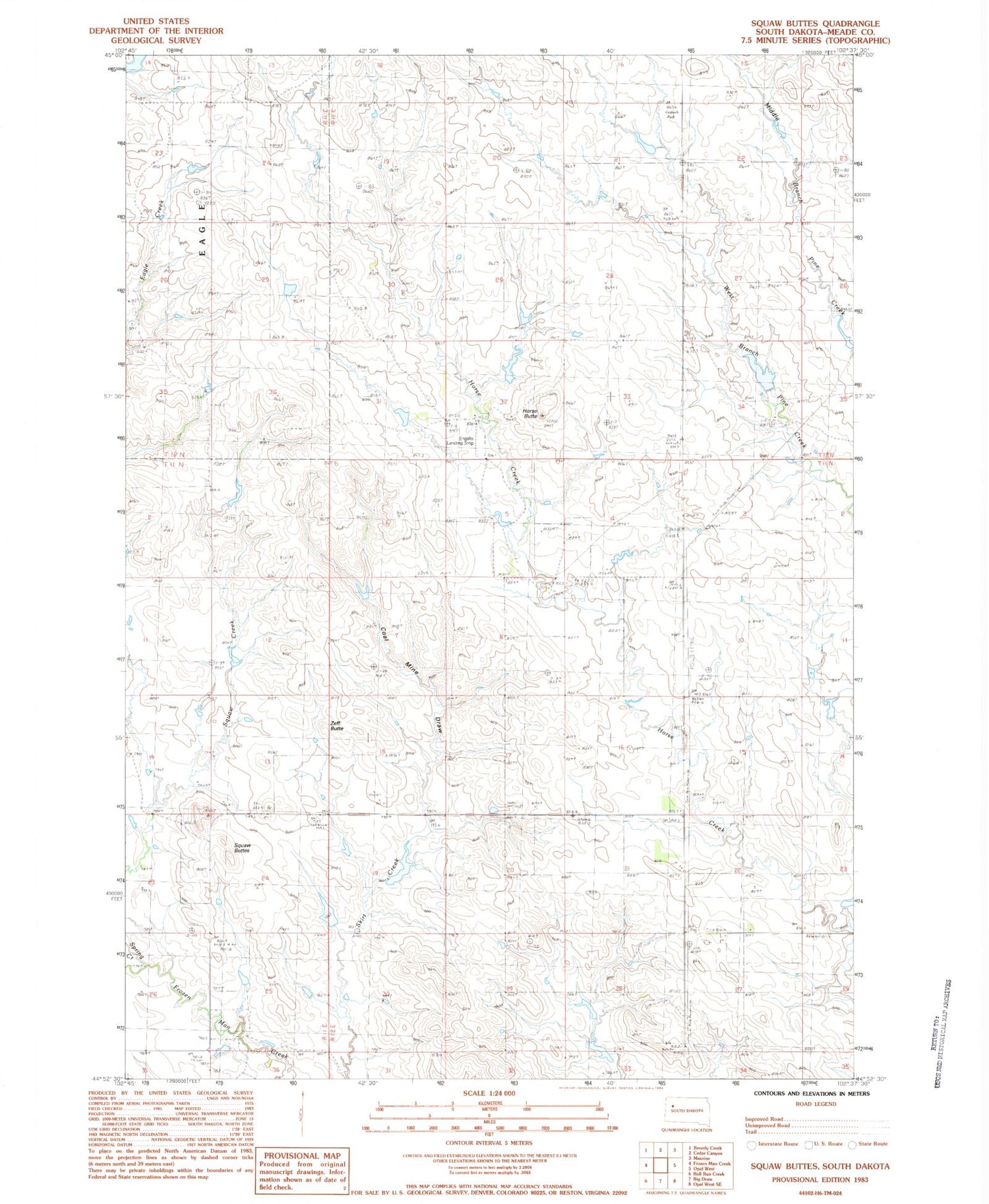
Historical USGS topographic quad map of Squaw Buttes in the state of South Dakota. Map scale may vary for some years, but is generally around 1:24,000. Print size is approximately 24" x 27"
This quadrangle is in the following counties: Meade.
The map contains contour lines, roads, rivers, towns, and lakes. Printed on high-quality waterproof paper with UV fade-resistant inks, and shipped rolled.
Contains the following named places: Coal Mine Draw, Deer Creek, Engalls Landing Strip, Horse Butte, L Ingalls Number 1 Dam, L Ingalls Number 2 Dam, OK Anderson Dam, Patterson Holding Dam, R Hampton Number 1 Dam, Spring Creek, Township of Horse Butte, Township of Royal, Vig Buttes, Zeff Butte


