MyTopo
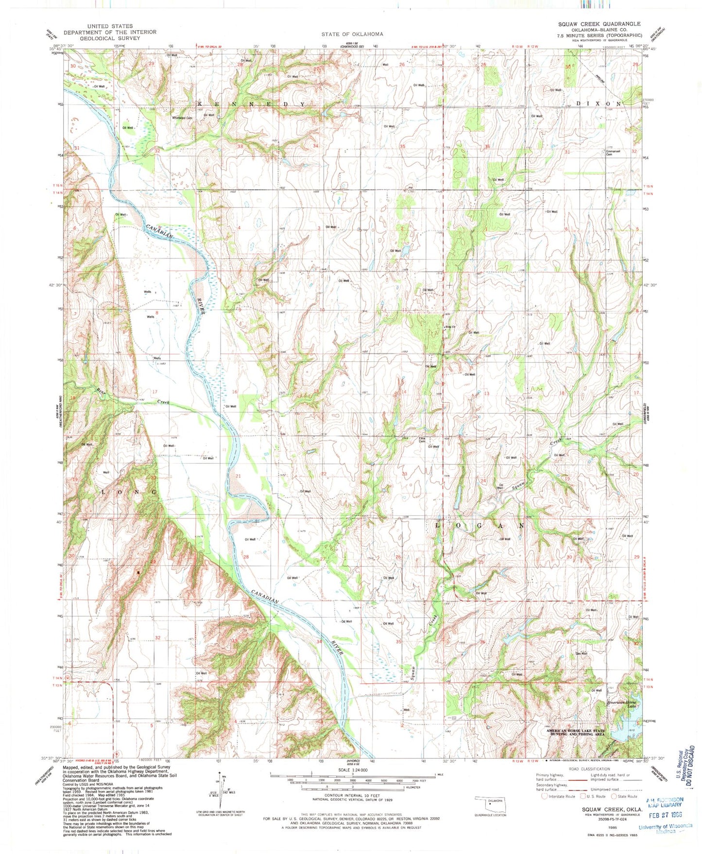
Classic USGS Squaw Creek Oklahoma 7.5'x7.5' Topo Map
Couldn't load pickup availability
Historical USGS topographic quad map of Squaw Creek in the state of Oklahoma. Map scale may vary for some years, but is generally around 1:24,000. Print size is approximately 24" x 27"
This quadrangle is in the following counties: Blaine.
The map contains contour lines, roads, rivers, towns, and lakes. Printed on high-quality waterproof paper with UV fade-resistant inks, and shipped rolled.
Contains the following named places: American Horse Lake, American Horse Lake Dam, American Horse Lake State Hunting and Fishing Area, Bear Creek, Emmanuel Cemetery, Etna Cemetery, Etna Church, Groendyke Pond Number 1, Groendyke Pond Number 1 Dam, Macedonia Cemetery, Nelson Burns Dam, Nelson Burns Reservoir, Squaw Creek, Township of Logan, Whirlwind Cemetery