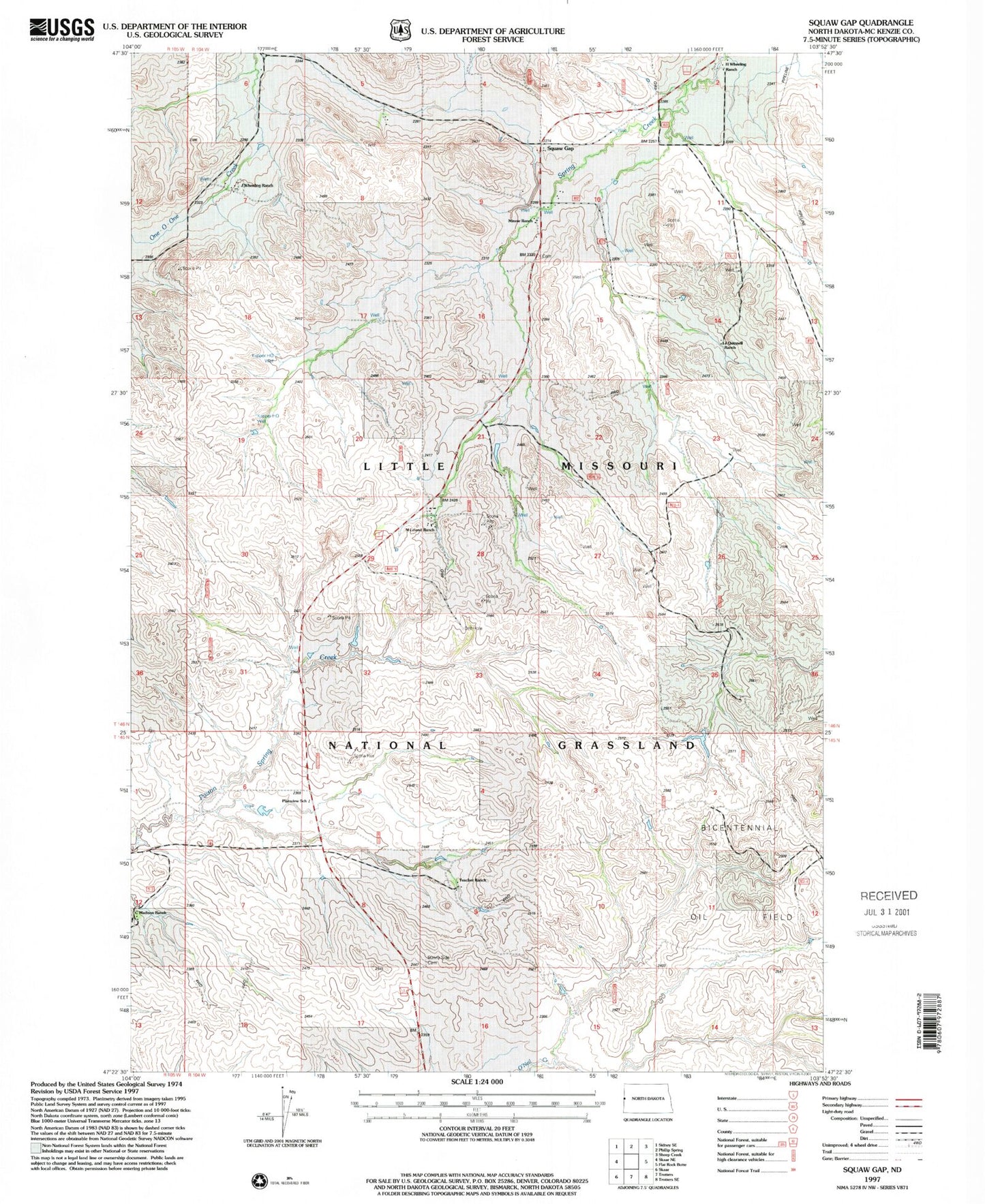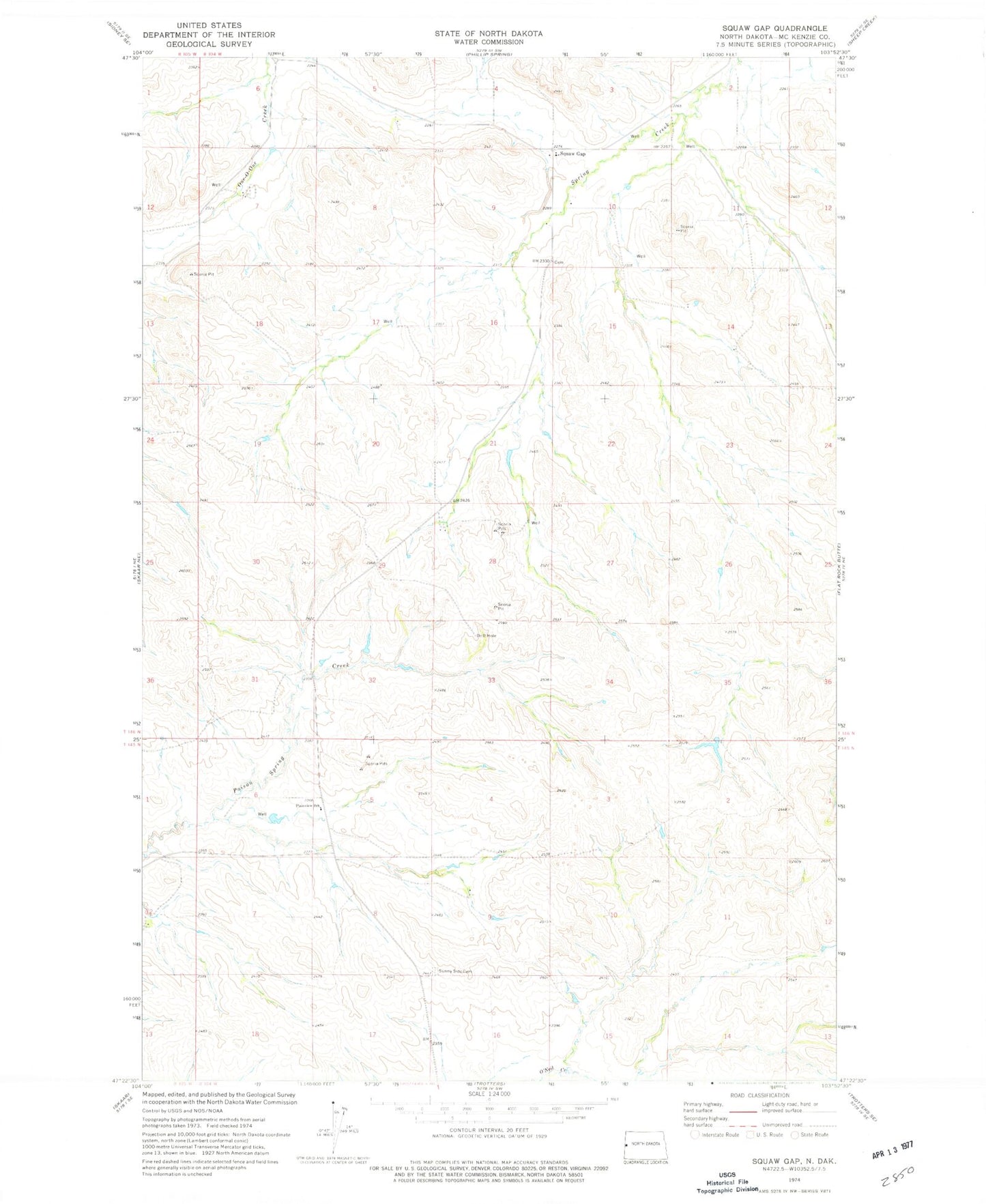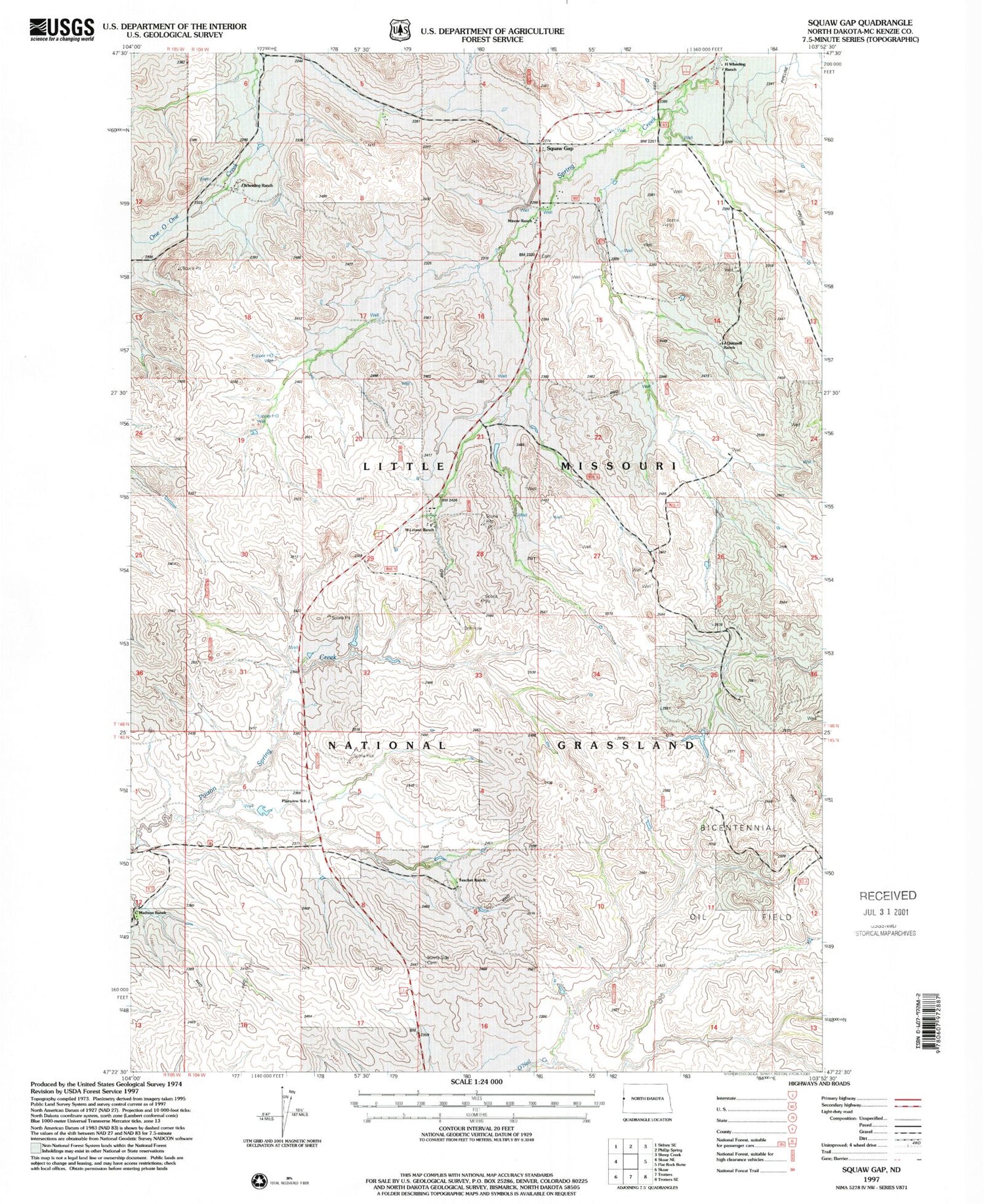
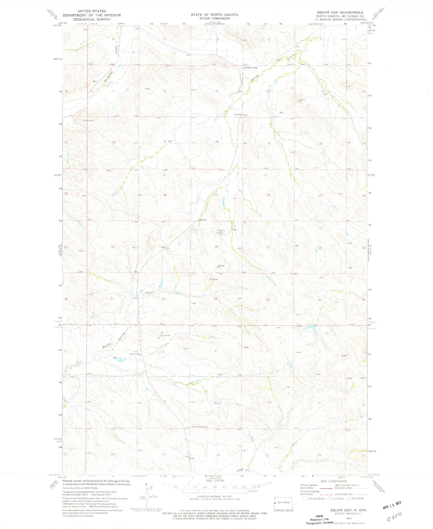
MyTopo
Classic USGS Squaw Gap North Dakota 7.5'x7.5' Topo Map
Regular price
$16.95
Regular price
Sale price
$16.95
Unit price
per
Couldn't load pickup availability
Historical USGS topographic quad map of Squaw Gap in the state of North Dakota. Map scale may vary for some years, but is generally around 1:24,000. Print size is approximately 24" x 27"
This quadrangle is in the following counties: McKenzie.
The map contains contour lines, roads, rivers, towns, and lakes. Printed on high-quality waterproof paper with UV fade-resistant inks, and shipped rolled.
Contains the following named places: C Madison Ranch, H Wheeling Ranch, J Wheeling Ranch, Kupper Headquarter Water Well, M Leland Ranch, Plainview School, Squaw Gap, Squaw Gap Cemetery, Squaw Gap School, Sunny Side Cemetery, Tescher Ranch