MyTopo
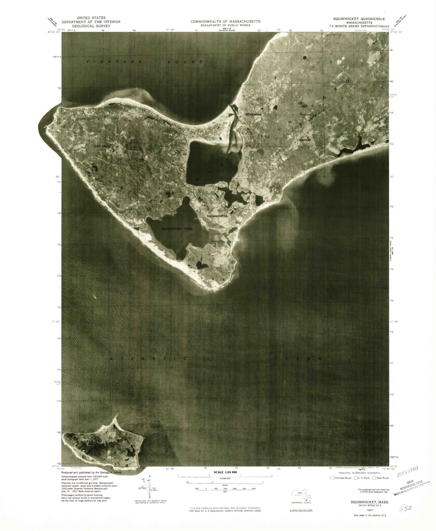
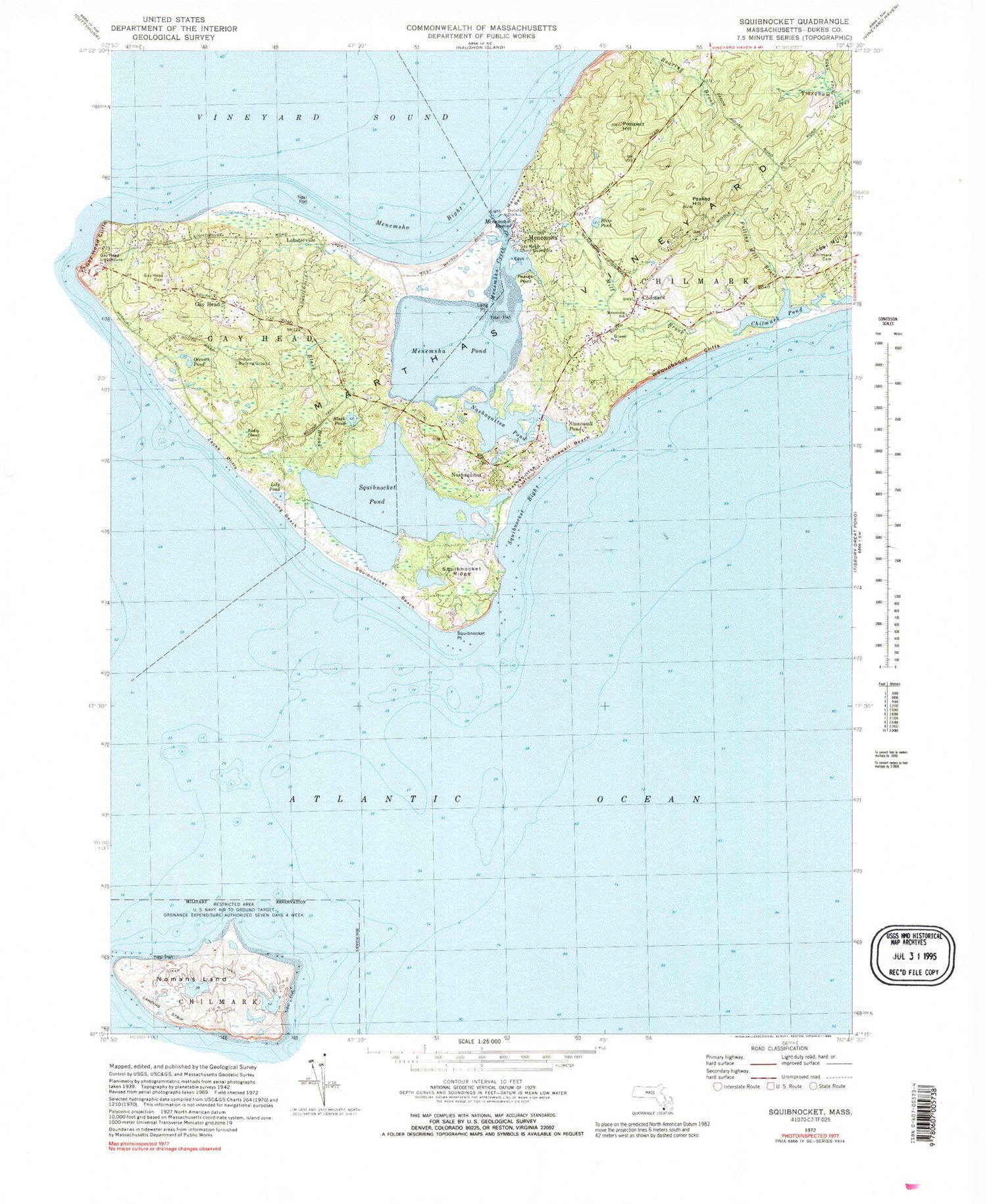
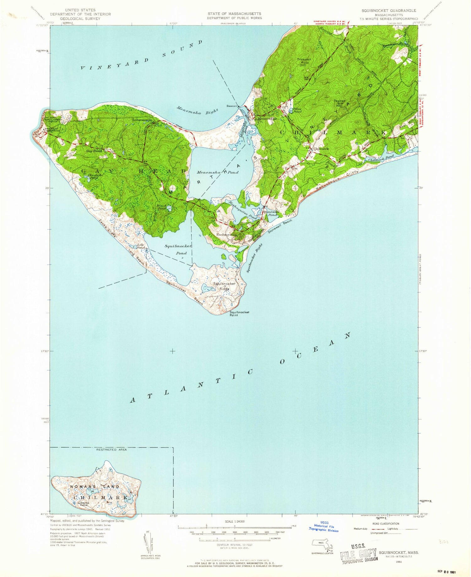
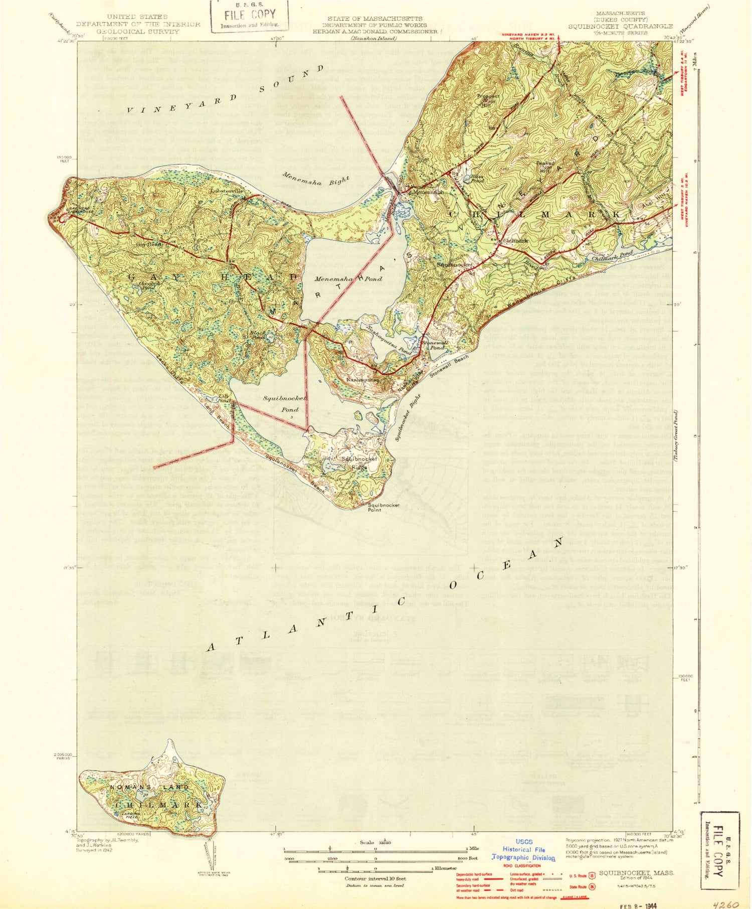
Classic USGS Squibnocket Massachusetts 7.5'x7.5' Topo Map
Couldn't load pickup availability
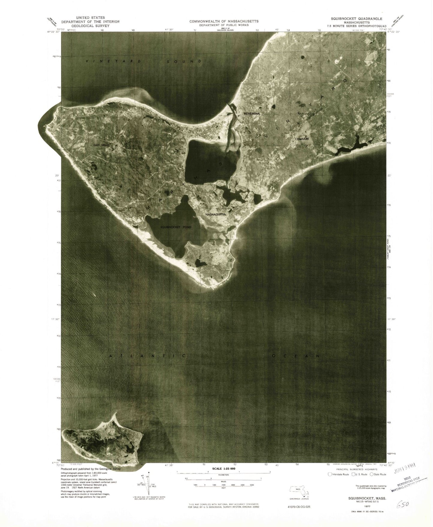
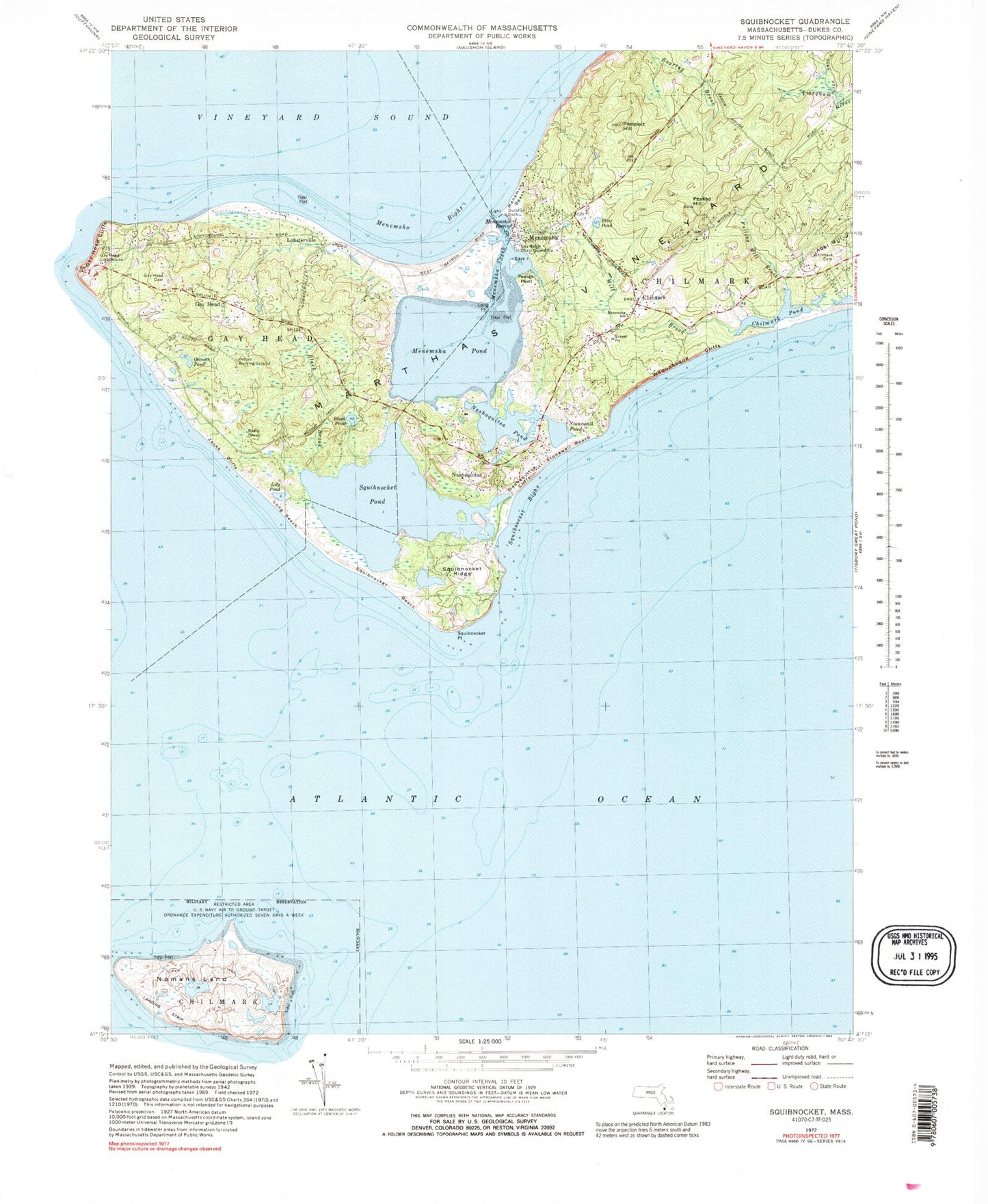
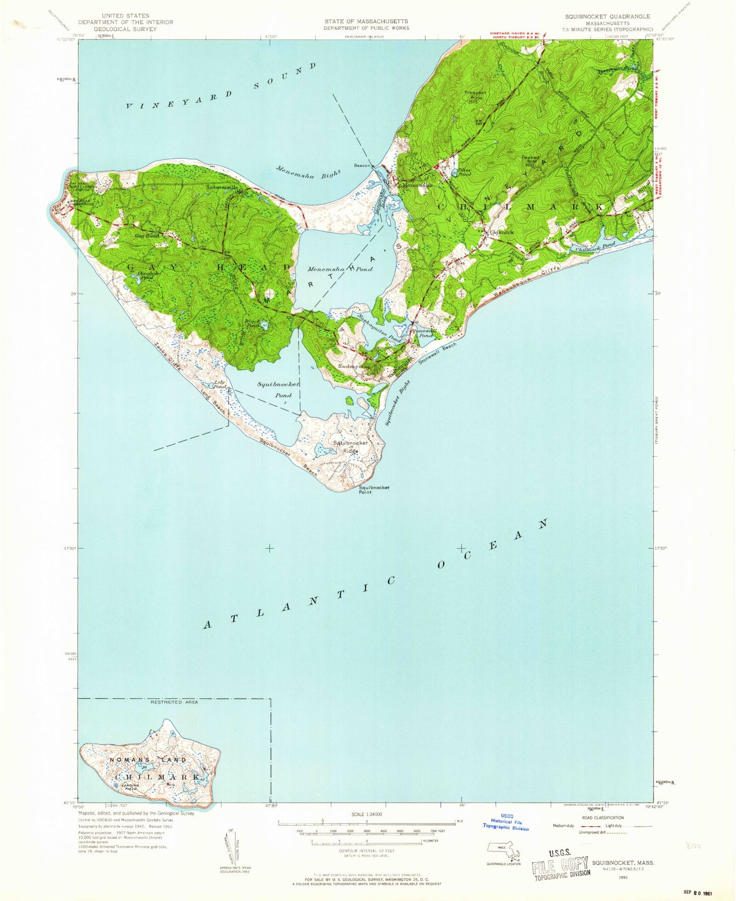
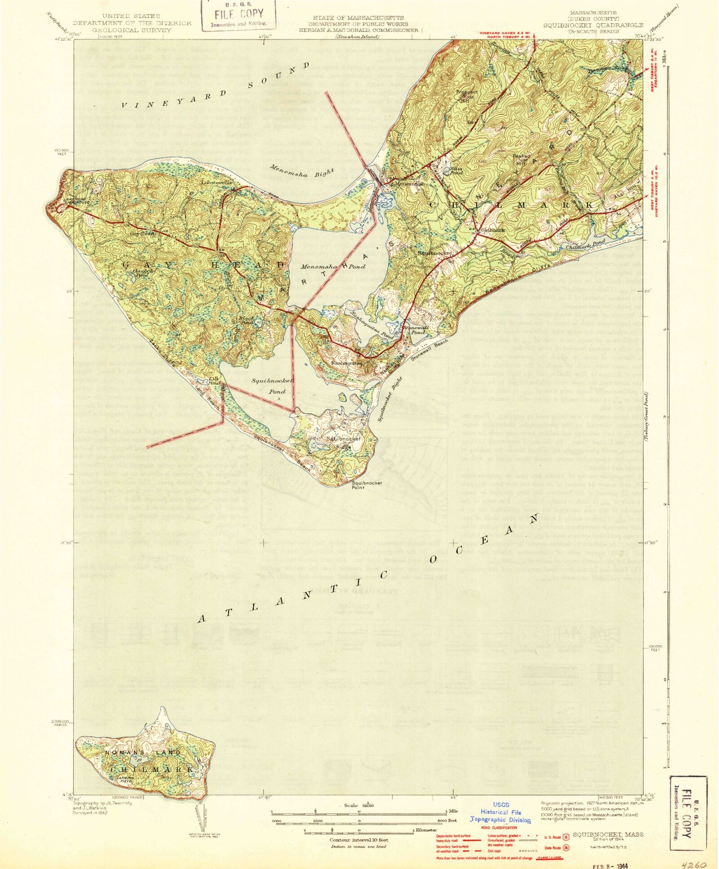
Historical USGS topographic quad map of Squibnocket in the state of Massachusetts. Map scale may vary for some years, but is generally around 1:24,000. Print size is approximately 24" x 27"
This quadrangle is in the following counties: Dukes.
The map contains contour lines, roads, rivers, towns, and lakes. Printed on high-quality waterproof paper with UV fade-resistant inks, and shipped rolled.
Contains the following named places: Abel Hill, Aquinnah Census Designated Place, Aquinnah Fire Department, Aquinnah Police Department, Black Brook, Black Pond, Bliss Pond, Chilmark, Chilmark Cemetery, Chilmark Community Center, Chilmark Community Church, Chilmark Elementary School, Chilmark Fire Department Station 1 Headquarters, Chilmark Gap Filler Annex, Chilmark Police Department, Chilmark Post Office, Chilmark Public Library, Chilmark Town Hall, Cooks Springs, Dutcher Dock, Edys Island, Fulling Mill Brook, Gay Head, Gay Head Cemetery, Gay Head Coast Guard Station, Gay Head Indian Burying Ground, Gay Head Town Beach, Indian Lands, Lily Pond, Lobsterville, Lobsterville Beach, Lone Rock, Long Beach, Long Point, Lucy Vincent Beach, Menamsha Creek Entrance Jetty Light, Menemsha, Menemsha Basin, Menemsha Beach, Menemsha Bight, Menemsha Creek, Menemsha Hills Reservation, Menemsha Hills Reservation Beach, Menemsha Pond, Mill Brook, Nashaquitsa, Nashaquitsa Cliffs, Nashaquitsa Pond, Nomans Land, Nomans Land Island National Wildlife Refuge, Occooch Pond, Old Man, Peaked Hill, Peases Point, Prospect Hill, Squibnocket, Squibnocket Beach, Squibnocket Bight, Squibnocket Herring Run, Squibnocket Marshes, Squibnocket Point, Squibnocket Pond, Squibnocket Post Office, Squibnocket Ridge, Stonewall Beach, Stonewall Pond, Town of Chilmark, Tri - Town Ambulance, United States Army Air Warning Station Number 6, Wampanoag-Aquinnah Trust Land, Wequobsque Cliffs, Zacks Cliffs, ZIP Code: 02535
