MyTopo
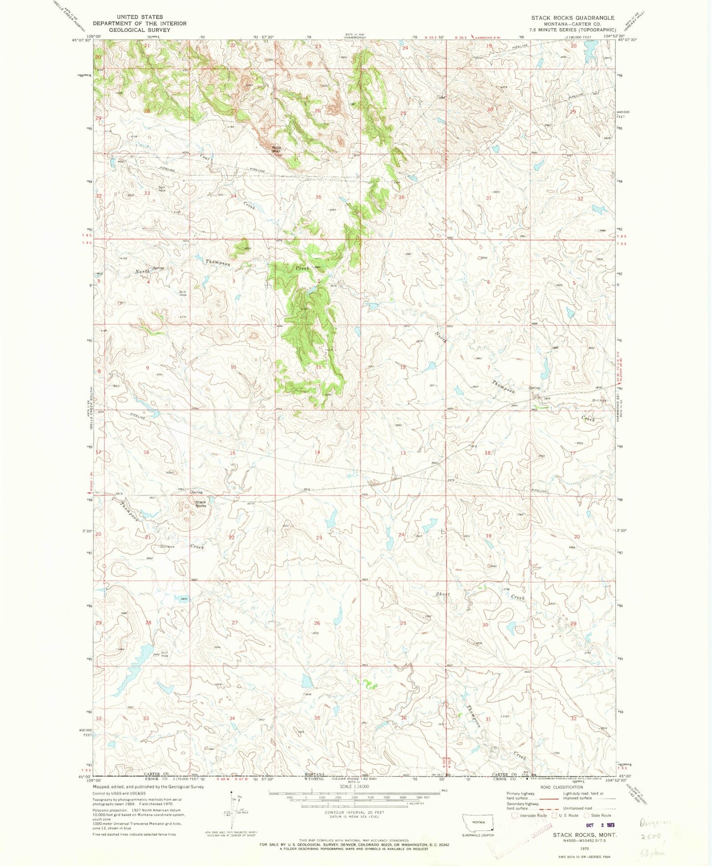
Classic USGS Stack Rocks Montana 7.5'x7.5' Topo Map
Regular price
$16.95
Regular price
Sale price
$16.95
Unit price
per
Couldn't load pickup availability
Historical USGS topographic quad map of Stack Rocks in the state of Montana. Map scale may vary for some years, but is generally around 1:24,000. Print size is approximately 24" x 27"
This quadrangle is in the following counties: Carter, Crook.
The map contains contour lines, roads, rivers, towns, and lakes. Printed on high-quality waterproof paper with UV fade-resistant inks, and shipped rolled.
Contains the following named places: Ace of Diamonds Dam, Coal Creek, Gerald Craft Number 6 Dam, Jack of Diamonds Dam, Jack of Hearts Dam, Jack of Spades Dam, King of Diamonds Dam, Queen of Hearts Dam, Rock Wall, Stack Rocks, Thompson Creek