MyTopo
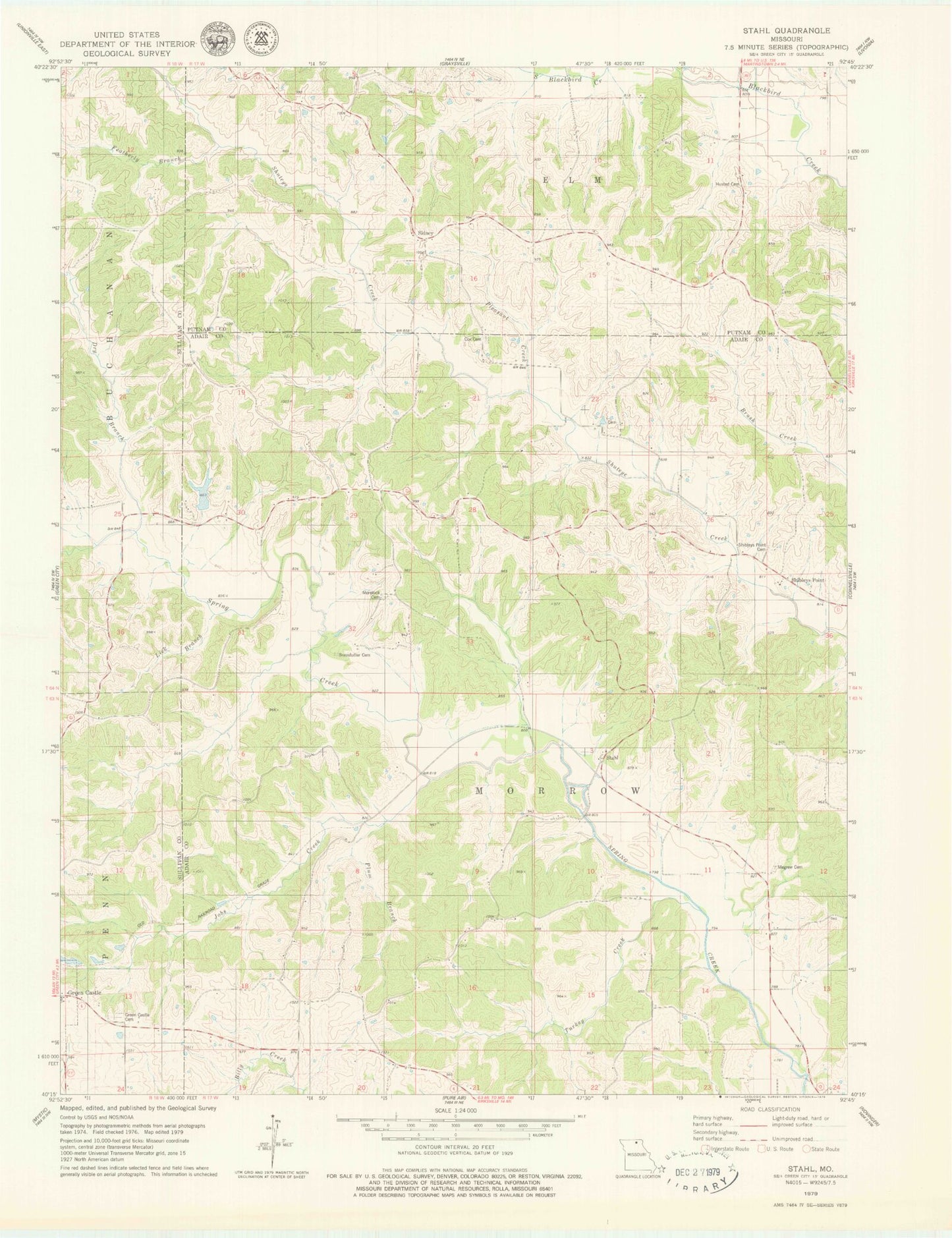
Classic USGS Stahl Missouri 7.5'x7.5' Topo Map
Couldn't load pickup availability
Historical USGS topographic quad map of Stahl in the state of Missouri. Map scale may vary for some years, but is generally around 1:24,000. Print size is approximately 24" x 27"
This quadrangle is in the following counties: Adair, Putnam, Sullivan.
The map contains contour lines, roads, rivers, towns, and lakes. Printed on high-quality waterproof paper with UV fade-resistant inks, and shipped rolled.
Contains the following named places: Branstutter Cemetery, Clark School, Cox Cemetery, Dewey, Dry Branch, Featherly Branch, Green Castle Cemetery, Husted Cemetery, Husted School, Jobs Creek, Lick Branch, Megrew Cemetery, Morelock Cemetery, Morelock School, Pleasant Creek, Plum Branch, Port Arthur School, Red School, Shibleys Point, Shibleys Point Cemetery, Shibleys Point School, Sidney, South Crawford School, Spring Creek Ranch Dam, Spring Creek Ranch Lake, Stahl, Stroup Siding, Township of Morrow, Turkey Creek, Wood School